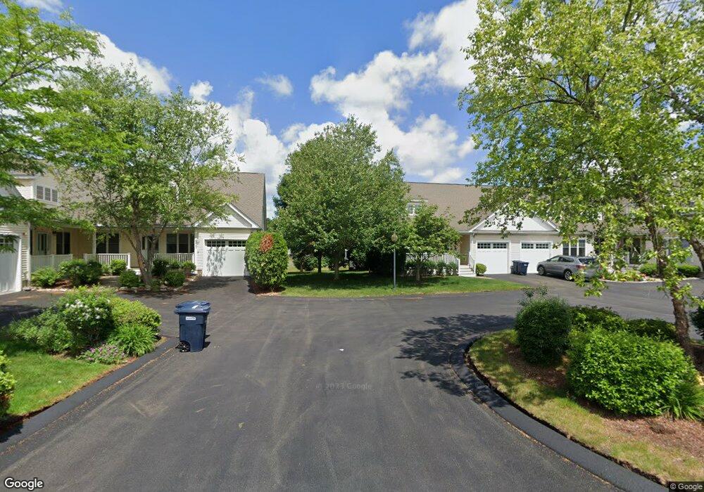
15 Explorers Way Holden, MA 01520
Estimated Value: $582,000 - $686,000
3
Beds
3
Baths
2,856
Sq Ft
$222/Sq Ft
Est. Value
About This Home
This home is located at 15 Explorers Way, Holden, MA 01520 and is currently estimated at $634,264, approximately $222 per square foot. 15 Explorers Way is a home located in Worcester County with nearby schools including Wachusett Regional High School, Bancroft School, and Notre Dame Academy.
Ownership History
Date
Name
Owned For
Owner Type
Purchase Details
Closed on
Nov 29, 2022
Sold by
Cuker Ronna J
Bought by
Ronna J Cuker Ret
Current Estimated Value
Purchase Details
Closed on
Oct 10, 2007
Sold by
Cuker Jonah M and Cuker Ronna J
Bought by
Cuker Ronna J
Purchase Details
Closed on
Nov 15, 2005
Sold by
Newell Road Rlty Llc
Bought by
Cuker Johah M and Cuker Ronna J
Home Financials for this Owner
Home Financials are based on the most recent Mortgage that was taken out on this home.
Original Mortgage
$200,000
Interest Rate
5.93%
Mortgage Type
Purchase Money Mortgage
Create a Home Valuation Report for This Property
The Home Valuation Report is an in-depth analysis detailing your home's value as well as a comparison with similar homes in the area
Home Values in the Area
Average Home Value in this Area
Purchase History
| Date | Buyer | Sale Price | Title Company |
|---|---|---|---|
| Ronna J Cuker Ret | -- | None Available | |
| Cuker Ronna J | -- | -- | |
| Cuker Johah M | $382,340 | -- |
Source: Public Records
Mortgage History
| Date | Status | Borrower | Loan Amount |
|---|---|---|---|
| Previous Owner | Cuker Johah M | $200,000 |
Source: Public Records
Tax History Compared to Growth
Tax History
| Year | Tax Paid | Tax Assessment Tax Assessment Total Assessment is a certain percentage of the fair market value that is determined by local assessors to be the total taxable value of land and additions on the property. | Land | Improvement |
|---|---|---|---|---|
| 2025 | $6,265 | $452,000 | $0 | $452,000 |
| 2024 | $6,522 | $460,900 | $0 | $460,900 |
| 2023 | $6,000 | $400,300 | $0 | $400,300 |
| 2022 | $6,675 | $403,100 | $0 | $403,100 |
| 2021 | $7,249 | $416,600 | $0 | $416,600 |
| 2020 | $7,014 | $412,600 | $0 | $412,600 |
| 2019 | $8,191 | $469,400 | $0 | $469,400 |
| 2018 | $6,611 | $375,400 | $0 | $375,400 |
| 2017 | $6,329 | $359,800 | $0 | $359,800 |
| 2016 | $5,794 | $335,900 | $0 | $335,900 |
| 2015 | $5,949 | $328,300 | $0 | $328,300 |
| 2014 | $5,827 | $328,300 | $0 | $328,300 |
Source: Public Records
Map
Nearby Homes
- 2 Explorers Way Unit 2
- 1 King Philip Trail Unit 1
- 27 Tea Party Cir Unit 27
- 8 Indian Cir Unit 8
- 314 Main St
- 18 Edgewood Dr
- 27 Mayflower Cir
- 156 Newell Rd
- 189 Holden St
- 308 Holden St
- 94 Cedar Rd
- 12 Brentwood Dr
- 11 Brentwood Dr
- 527 Salisbury St
- 9 Emily St
- 47 Banbury Ln
- 160 Shrewsbury St
- 34 Putnam Ln
- 7 Otter Trail
- 47 Chapel St
- 17 Explorers Way
- 11 Explorers Way
- 9 Explorers Way
- 9 Explorers Way Unit 9
- 619 Explorers Way Unit 619
- 613 Explorers Way Unit 613
- 618 Explorers Way Unit 618
- 621 Explorers Way Unit 621
- 620 Explorers Way Unit 620
- 622 Explorers Way Unit 622
- 5 Explorers Way
- 3 Explorers Way
- 1 Explorers Way
- 3 Explorers Way Unit 612
- 2 Explorers Way
- 4 Explorers Way
- 6 Explorers Way
- 8 Explorers Way
- 12 Explorers Way
- 14 Explorers Way