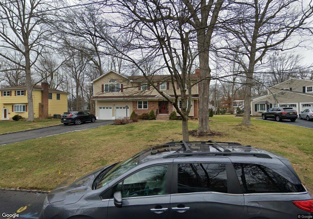
15 Fawn Cir Berkeley Heights, NJ 07922
Estimated Value: $981,000 - $1,320,000
--
Bed
--
Bath
2,291
Sq Ft
$474/Sq Ft
Est. Value
About This Home
This home is located at 15 Fawn Cir, Berkeley Heights, NJ 07922 and is currently estimated at $1,086,874, approximately $474 per square foot. 15 Fawn Cir is a home located in Union County with nearby schools including Columbia Middle School, Governor Livingston High School, and The Academy of Our Lady of Peace.
Ownership History
Date
Name
Owned For
Owner Type
Purchase Details
Closed on
Jul 10, 2006
Sold by
Shirley Wicke Shoaf Estate
Bought by
Sabatino Frank and Sabatino Suzanne
Current Estimated Value
Home Financials for this Owner
Home Financials are based on the most recent Mortgage that was taken out on this home.
Original Mortgage
$400,000
Outstanding Balance
$237,733
Interest Rate
6.67%
Mortgage Type
New Conventional
Estimated Equity
$849,141
Purchase Details
Closed on
May 9, 1997
Sold by
Shoaf Frank Robert and Shoaf Robb Wicke
Bought by
Shoaf Frank Robert and Shoaf Robb Wicke
Purchase Details
Closed on
Apr 2, 1996
Sold by
Shoaf Frank Robert and Shoaf Shirley Wicke
Bought by
Shoaf Shirley Wicke
Create a Home Valuation Report for This Property
The Home Valuation Report is an in-depth analysis detailing your home's value as well as a comparison with similar homes in the area
Home Values in the Area
Average Home Value in this Area
Purchase History
| Date | Buyer | Sale Price | Title Company |
|---|---|---|---|
| Sabatino Frank | $660,000 | -- | |
| Shoaf Frank Robert | -- | -- | |
| Shoaf Shirley Wicke | -- | -- |
Source: Public Records
Mortgage History
| Date | Status | Borrower | Loan Amount |
|---|---|---|---|
| Open | Sabatino Frank | $400,000 |
Source: Public Records
Tax History Compared to Growth
Tax History
| Year | Tax Paid | Tax Assessment Tax Assessment Total Assessment is a certain percentage of the fair market value that is determined by local assessors to be the total taxable value of land and additions on the property. | Land | Improvement |
|---|---|---|---|---|
| 2025 | $16,475 | $384,300 | $167,500 | $216,800 |
| 2024 | $16,237 | $384,300 | $167,500 | $216,800 |
| 2023 | $16,237 | $384,300 | $167,500 | $216,800 |
| 2022 | $16,137 | $384,300 | $167,500 | $216,800 |
| 2021 | $16,048 | $384,300 | $167,500 | $216,800 |
| 2020 | $16,133 | $384,300 | $167,500 | $216,800 |
| 2019 | $16,052 | $384,300 | $167,500 | $216,800 |
| 2018 | $15,718 | $384,300 | $167,500 | $216,800 |
| 2017 | $15,526 | $384,300 | $167,500 | $216,800 |
| 2016 | $15,253 | $384,300 | $167,500 | $216,800 |
| 2015 | $15,168 | $384,300 | $167,500 | $216,800 |
| 2014 | $14,772 | $384,300 | $167,500 | $216,800 |
Source: Public Records
Map
Nearby Homes
- 33 Bristol Ct
- 30 Robbins Ave
- 41 Meadowview Ln
- 12 Park Edge
- 34 Meadowview Ln
- 126 Snyder Ave
- 93 Park Edge Unit 3H
- 132 Fairview Ave
- 19 Guenevere Way Ondo
- 43 Kuntz Ave
- 28 Peacock Ln Unit 28
- 61 Kuntz Ave
- 63 Snyder Ave
- 46 Snyder Ave
- 45 Wilson Dr
- 27 Angela Way Unit 727
- 25 Oechsner Ct
- 11 Earl Place
- 3 Cottage Ct Unit 3
- 235 Plainfield Ave
- 23 Fawn Cir
- 201 Lawrence Dr
- 165 Lawrence Dr
- 27 Fawn Cir
- 213 Lawrence Dr
- 16 Fawn Cir
- 162 Briarwood Dr E
- 155 Lawrence Dr
- 26 Fawn Cir
- 168 Briarwood Dr E
- 30 Fawn Cir
- 204 Lawrence Dr
- 196 Lawrence Dr
- 218 Lawrence Dr
- 156 Briarwood Dr E
- 221 Lawrence Dr
- 176 Briarwood Dr E
- 147 Lawrence Dr
- 176 Lawrence Dr
- 166 Lawrence Dr