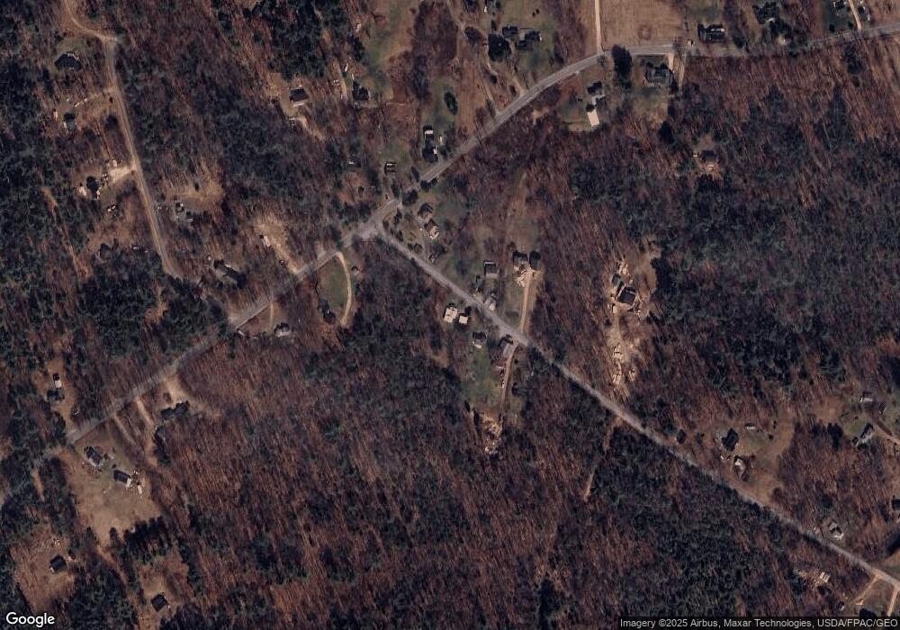
15 Fire House Rd Chebeague Island, ME 04017
Chebeague Island NeighborhoodEstimated Value: $379,000 - $576,000
2
Beds
1
Bath
968
Sq Ft
$452/Sq Ft
Est. Value
About This Home
This home is located at 15 Fire House Rd, Chebeague Island, ME 04017 and is currently estimated at $437,491, approximately $451 per square foot. 15 Fire House Rd is a home with nearby schools including Chebeague Island School, Mabel I. Wilson School, and Greely Middle School 4-5.
Ownership History
Date
Name
Owned For
Owner Type
Purchase Details
Closed on
Jun 12, 2024
Sold by
Benner Ronald W
Bought by
Doughty Dylan
Current Estimated Value
Home Financials for this Owner
Home Financials are based on the most recent Mortgage that was taken out on this home.
Original Mortgage
$330,000
Outstanding Balance
$325,947
Interest Rate
7.22%
Mortgage Type
Purchase Money Mortgage
Estimated Equity
$111,544
Purchase Details
Closed on
Oct 1, 2018
Sold by
Jackson Suzanne B
Bought by
Benner Ronald W
Purchase Details
Closed on
Jul 23, 2007
Sold by
Jackson Suzanne B
Bought by
Benner Ronald W and Benner Susan E
Home Financials for this Owner
Home Financials are based on the most recent Mortgage that was taken out on this home.
Original Mortgage
$100,000
Interest Rate
6.54%
Mortgage Type
Unknown
Create a Home Valuation Report for This Property
The Home Valuation Report is an in-depth analysis detailing your home's value as well as a comparison with similar homes in the area
Home Values in the Area
Average Home Value in this Area
Purchase History
| Date | Buyer | Sale Price | Title Company |
|---|---|---|---|
| Doughty Dylan | $355,000 | None Available | |
| Doughty Dylan | $355,000 | None Available | |
| Benner Ronald W | -- | -- | |
| Benner Ronald W | -- | -- | |
| Benner Ronald W | -- | -- | |
| Benner Ronald W | -- | -- |
Source: Public Records
Mortgage History
| Date | Status | Borrower | Loan Amount |
|---|---|---|---|
| Open | Doughty Dylan | $330,000 | |
| Closed | Doughty Dylan | $330,000 | |
| Previous Owner | Benner Ronald W | $100,000 |
Source: Public Records
Tax History Compared to Growth
Tax History
| Year | Tax Paid | Tax Assessment Tax Assessment Total Assessment is a certain percentage of the fair market value that is determined by local assessors to be the total taxable value of land and additions on the property. | Land | Improvement |
|---|---|---|---|---|
| 2024 | $2,939 | $274,200 | $108,400 | $165,800 |
| 2023 | $2,715 | $274,200 | $108,400 | $165,800 |
| 2022 | $2,666 | $213,300 | $84,300 | $129,000 |
| 2021 | $2,524 | $190,500 | $75,300 | $115,200 |
| 2020 | $2,524 | $190,500 | $75,300 | $115,200 |
| 2019 | $2,513 | $152,300 | $60,200 | $92,100 |
| 2018 | $2,513 | $152,300 | $60,200 | $92,100 |
| 2016 | $2,490 | $152,300 | $60,200 | $92,100 |
Source: Public Records
Map
Nearby Homes
- Lot 2 Buxhill Blvd
- 9 Central Landing Rd
- 9 Broad Reach Rd
- 471 South Rd Unit B
- 471 South Rd Unit A
- Lot#8C North Rd
- 460 South Rd
- 184 John Small Rd
- 92 Spruce Point Rd
- 87 Wharf Rd
- 61 Sawyer Rd
- 184 Spruce Point Rd
- 51 Oakland Ave
- Lot 773 Magnolia Vine
- 24 Daybreak Ln
- 305 Church Rd
- 199 Princes Point Rd
- 100 Leavitt St
- 51 Meeting House Farms Rd
- 161 Gilman Rd
- 15 Fire House Rd
- 19 Fire House Rd
- 18 Fire House Rd
- 20 Firehouse Rd
- 20 Fire House Rd
- 27 Fire House Rd
- 102 North Rd
- 108 North Rd
- 101 North Rd
- 109 North Rd
- Map I 07 North Rd Unit Lot 15
- lot 15B North Rd
- 95 North Rd
- 112 North Rd
- Lot 15 Carter's Point Rd
- 0 North Rd Unit 803515
- 0 North Rd Unit 803526
- 0 North Rd Unit 638155
- 0 North Rd Unit 750014
- 0 North Rd Unit 271077
