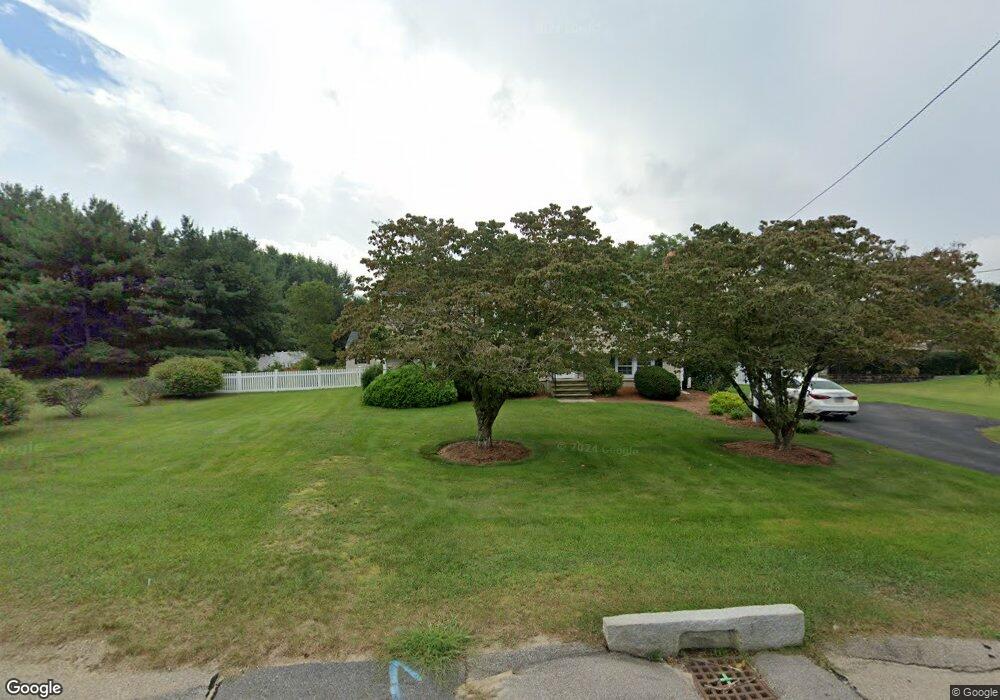
15 Fisher Rd Wrentham, MA 02093
Estimated Value: $572,000 - $728,000
3
Beds
1
Bath
1,648
Sq Ft
$385/Sq Ft
Est. Value
About This Home
This home is located at 15 Fisher Rd, Wrentham, MA 02093 and is currently estimated at $633,796, approximately $384 per square foot. 15 Fisher Rd is a home located in Norfolk County with nearby schools including Delaney Elementary School and Charles E Roderick.
Ownership History
Date
Name
Owned For
Owner Type
Purchase Details
Closed on
Nov 30, 1994
Sold by
Oneil James F and Oneil Mary T
Bought by
Malcolm Paul F and Malcolm Maureen
Current Estimated Value
Home Financials for this Owner
Home Financials are based on the most recent Mortgage that was taken out on this home.
Original Mortgage
$139,500
Interest Rate
8.81%
Mortgage Type
Purchase Money Mortgage
Create a Home Valuation Report for This Property
The Home Valuation Report is an in-depth analysis detailing your home's value as well as a comparison with similar homes in the area
Home Values in the Area
Average Home Value in this Area
Purchase History
| Date | Buyer | Sale Price | Title Company |
|---|---|---|---|
| Malcolm Paul F | $155,000 | -- |
Source: Public Records
Mortgage History
| Date | Status | Borrower | Loan Amount |
|---|---|---|---|
| Open | Malcolm Paul F | $139,450 | |
| Closed | Malcolm Paul F | $139,500 | |
| Previous Owner | Malcolm Paul F | $19,000 |
Source: Public Records
Tax History Compared to Growth
Tax History
| Year | Tax Paid | Tax Assessment Tax Assessment Total Assessment is a certain percentage of the fair market value that is determined by local assessors to be the total taxable value of land and additions on the property. | Land | Improvement |
|---|---|---|---|---|
| 2025 | $6,574 | $567,200 | $328,000 | $239,200 |
| 2024 | $6,307 | $525,600 | $333,100 | $192,500 |
| 2023 | $6,063 | $480,400 | $309,800 | $170,600 |
| 2022 | $5,476 | $400,600 | $250,400 | $150,200 |
| 2021 | $4,808 | $341,700 | $229,500 | $112,200 |
| 2020 | $5,194 | $364,500 | $199,100 | $165,400 |
| 2019 | $4,887 | $346,100 | $191,100 | $155,000 |
| 2018 | $4,790 | $336,400 | $191,300 | $145,100 |
| 2017 | $4,549 | $319,200 | $187,600 | $131,600 |
| 2016 | $4,444 | $311,200 | $182,200 | $129,000 |
| 2015 | $4,320 | $288,400 | $175,100 | $113,300 |
| 2014 | $4,268 | $278,800 | $168,400 | $110,400 |
Source: Public Records
Map
Nearby Homes
- 246 Forest Grove Ave
- 270 Dedham St
- 10 Nature View Dr
- 15 Nature View Dr
- 1 Lorraine Metcalf Dr
- 570 Franklin St
- 45 Joshua Rd
- 3 Oak Rd
- 50 Reed Fulton Ave Unit Lot 61
- 0 W Birch Rd
- 10 W Birch Rd
- 131 Creek St Unit 7
- 45 King St
- 362 East St
- 3 Sparrow Rd
- 11 Earle Stewart Ln
- Lot 3 - 14 Earle Stewart Ln
- Lot 1 - Blueberry 2 Car Plan at King Philip Estates
- Lot 8 - Blueberry 2 Car Plan at King Philip Estates
- Lot 6 - Blueberry 3 Car Plan at King Philip Estates