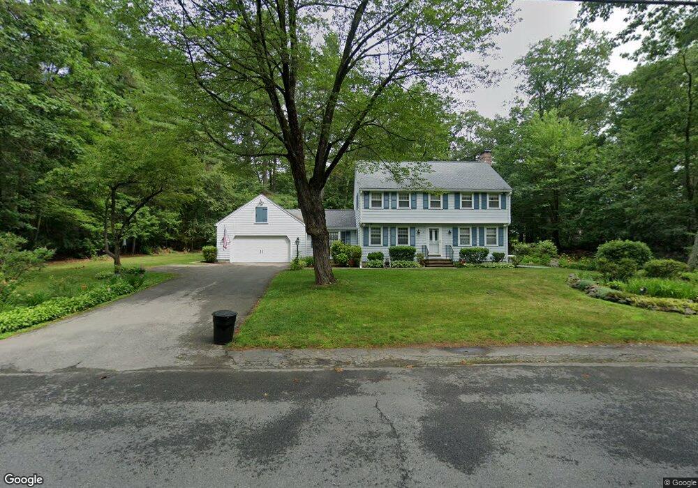
15 Fletcher Rd Westford, MA 01886
Estimated Value: $853,000 - $996,000
4
Beds
3
Baths
2,358
Sq Ft
$385/Sq Ft
Est. Value
About This Home
This home is located at 15 Fletcher Rd, Westford, MA 01886 and is currently estimated at $906,802, approximately $384 per square foot. 15 Fletcher Rd is a home located in Middlesex County with nearby schools including Abbot Elementary School, Nabnasset Elementary, and Stony Brook School.
Ownership History
Date
Name
Owned For
Owner Type
Purchase Details
Closed on
Nov 6, 2018
Sold by
Carroll 3Rd Leo T and Carroll Elaine E
Bought by
Carroll Ft
Current Estimated Value
Purchase Details
Closed on
May 22, 1981
Bought by
Carroll Leo T and Carroll Elaine E
Create a Home Valuation Report for This Property
The Home Valuation Report is an in-depth analysis detailing your home's value as well as a comparison with similar homes in the area
Home Values in the Area
Average Home Value in this Area
Purchase History
| Date | Buyer | Sale Price | Title Company |
|---|---|---|---|
| Carroll Ft | -- | -- | |
| Carroll Ft | -- | -- | |
| Carroll Leo T | $106,000 | -- |
Source: Public Records
Mortgage History
| Date | Status | Borrower | Loan Amount |
|---|---|---|---|
| Previous Owner | Carroll Leo T | $33,800 | |
| Previous Owner | Carroll Leo T | $130,000 |
Source: Public Records
Tax History Compared to Growth
Tax History
| Year | Tax Paid | Tax Assessment Tax Assessment Total Assessment is a certain percentage of the fair market value that is determined by local assessors to be the total taxable value of land and additions on the property. | Land | Improvement |
|---|---|---|---|---|
| 2025 | $9,964 | $723,600 | $330,200 | $393,400 |
| 2024 | $9,964 | $723,600 | $330,200 | $393,400 |
| 2023 | $9,978 | $676,000 | $314,300 | $361,700 |
| 2022 | $9,978 | $619,000 | $266,200 | $352,800 |
| 2021 | $9,297 | $558,700 | $266,200 | $292,500 |
| 2020 | $9,124 | $558,700 | $266,200 | $292,500 |
| 2019 | $9,038 | $545,800 | $276,700 | $269,100 |
| 2018 | $8,672 | $536,000 | $266,900 | $269,100 |
| 2017 | $8,358 | $509,300 | $266,900 | $242,400 |
| 2016 | $8,139 | $499,300 | $254,900 | $244,400 |
| 2015 | $7,457 | $459,200 | $235,300 | $223,900 |
| 2014 | $7,037 | $423,900 | $226,400 | $197,500 |
Source: Public Records
Map
Nearby Homes
- 18 Fletcher Rd
- 14 Fletcher Rd
- 3 Woolsack Dr
- 6 Plain Rd
- 1 Woodridge Ln
- 1 Lawton Ave
- 7 Mill Park Place
- 28 Graniteville Rd
- 41 Plain Rd
- 11 River St
- 19-21 Broadway St
- 2 Lady Constance Way Unit 19
- 6 Lady Constance Way
- 6 Lady Constance Way Unit 21
- 4 Fairview Dr
- Williamstown Plan at Wendell Place
- Copley Plan at Wendell Place
- 4 Lady Constance Way Unit 20
- 2 Wendell Place Unit 1
- 16 Shipley Cir
- 16 Fletcher Rd
- 17 Fletcher Rd
- 18 Cold Spring Rd
- 13 Fletcher Rd
- 16 Cold Spring Rd
- 20 Cold Spring Rd
- 2 Blackthorne Dr
- 14 Cold Spring Rd
- 19 Beaver Dam Dr
- 19 Fletcher Rd
- 20 Fletcher Rd
- 20 Beaver Dam Dr
- 24 Cold Spring Rd
- 11 Fletcher Rd
- 11 Cold Spring Rd
- 17 Cold Spring Rd
- 10 Cold Spring Rd
- 12 Fletcher Rd
- 21 Fletcher Rd
- 26 Cold Spring Rd