15 Forest Dale Dr Morristown, NJ 07960
Estimated Value: $715,000 - $880,000
--
Bed
--
Bath
1,946
Sq Ft
$403/Sq Ft
Est. Value
About This Home
This home is located at 15 Forest Dale Dr, Morristown, NJ 07960 and is currently estimated at $784,873, approximately $403 per square foot. 15 Forest Dale Dr is a home located in Morris County with nearby schools including Harding Township School, Assumption Of The Bvm School, and Mendham Country Day School.
Ownership History
Date
Name
Owned For
Owner Type
Purchase Details
Closed on
Jul 28, 2000
Sold by
Gambino Howard J
Bought by
Keller Richard C and Keller Diane M
Current Estimated Value
Purchase Details
Closed on
May 22, 1998
Sold by
Trennert Dawn S
Bought by
Gambino Howard J
Home Financials for this Owner
Home Financials are based on the most recent Mortgage that was taken out on this home.
Original Mortgage
$136,000
Interest Rate
6.98%
Purchase Details
Closed on
Nov 1, 1996
Sold by
Hone Raymond M and Hone Susan M
Bought by
Trennert Dawn S
Create a Home Valuation Report for This Property
The Home Valuation Report is an in-depth analysis detailing your home's value as well as a comparison with similar homes in the area
Home Values in the Area
Average Home Value in this Area
Purchase History
| Date | Buyer | Sale Price | Title Company |
|---|---|---|---|
| Keller Richard C | $340,000 | -- | |
| Gambino Howard J | $256,000 | -- | |
| Trennert Dawn S | $240,000 | Fidelity National Title Ins |
Source: Public Records
Mortgage History
| Date | Status | Borrower | Loan Amount |
|---|---|---|---|
| Previous Owner | Gambino Howard J | $136,000 |
Source: Public Records
Tax History Compared to Growth
Tax History
| Year | Tax Paid | Tax Assessment Tax Assessment Total Assessment is a certain percentage of the fair market value that is determined by local assessors to be the total taxable value of land and additions on the property. | Land | Improvement |
|---|---|---|---|---|
| 2025 | $5,545 | $464,400 | $210,000 | $254,400 |
| 2024 | $5,368 | $464,400 | $210,000 | $254,400 |
| 2023 | $5,368 | $464,400 | $210,000 | $254,400 |
| 2022 | $5,155 | $464,400 | $210,000 | $254,400 |
| 2021 | $5,155 | $464,400 | $210,000 | $254,400 |
| 2020 | $5,081 | $464,400 | $210,000 | $254,400 |
| 2019 | $3,967 | $344,400 | $180,000 | $164,400 |
| 2018 | $3,892 | $344,400 | $180,000 | $164,400 |
| 2017 | $3,871 | $344,400 | $180,000 | $164,400 |
| 2016 | $3,809 | $344,400 | $180,000 | $164,400 |
| 2015 | $3,720 | $344,400 | $180,000 | $164,400 |
| 2014 | $3,592 | $344,400 | $180,000 | $164,400 |
Source: Public Records
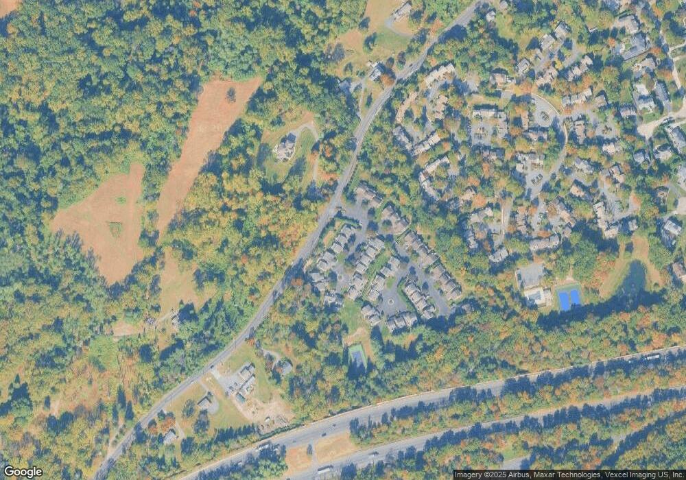
Map
Nearby Homes
- 6 Ash Ln
- 665 Mount Kemble Ave
- 2 Blackwell Ave
- 7 Cedar Hill Dr
- 282 Mount Kemble Ave
- 6 Fawn Hill Dr
- 24 Spring Brook Rd
- 4 Old Harter Rd
- 106 Colonial Dr
- 31 Sand Spring Ln
- 237 Mount Kemble Ave
- 97 Skyline Dr
- 53 Post House Rd
- 1 Spring Brook Rd
- 16 Lee Dr
- 43 Raven Dr
- 22 Mountainside Dr
- 2 Skyline Dr
- 9 Valley View Rd
- 34 Millbrook Rd
- 14 Forest Dale Dr
- 16 Forest Dale Dr
- 12 Forest Dale Dr
- 11 Forest Dale Dr
- 2 Forest Dale Dr
- 3 Forest Dale Dr
- 1 Forest Dale Dr
- 4 Forest Dale Dr
- 10 Forest Dale Dr
- 5 Forest Dale Dr
- 1 Shadowbrook Ln
- 2 Shadowbrook Ln
- 3 Shadowbrook Ln
- 4 Shadowbrook Ln
- 9 Forest Dale Dr
- 8 Cypress Cir
- 9 Cypress Cir
- 5 Shadowbrook Ln
- 7 Cypress Cir
- 6 Forest Dale Dr