15 Forrest Trail Maynard, AR 72444
Estimated Value: $131,000 - $248,000
Studio
--
Bath
1,440
Sq Ft
$132/Sq Ft
Est. Value
About This Home
This home is located at 15 Forrest Trail, Maynard, AR 72444 and is currently estimated at $189,840, approximately $131 per square foot. 15 Forrest Trail is a home with nearby schools including Maynard Elementary School and Maynard High School.
Ownership History
Date
Name
Owned For
Owner Type
Purchase Details
Closed on
Aug 21, 2023
Sold by
Mccurter Mary Tweedy and Mccurter James
Bought by
Tweedy Robert and Tweedy Christine
Current Estimated Value
Purchase Details
Closed on
Jun 22, 2021
Sold by
Baugus Jacob and Baugus Samantha
Bought by
Chappell Garrett and Chappell Sarah
Home Financials for this Owner
Home Financials are based on the most recent Mortgage that was taken out on this home.
Original Mortgage
$40,800
Interest Rate
2.9%
Purchase Details
Closed on
Jun 30, 2010
Bought by
Crafton To Crafton and Crafton Crafton
Purchase Details
Closed on
Jun 8, 2010
Bought by
Redus Lanc Co Inc To Crafton
Create a Home Valuation Report for This Property
The Home Valuation Report is an in-depth analysis detailing your home's value as well as a comparison with similar homes in the area
Purchase History
| Date | Buyer | Sale Price | Title Company |
|---|---|---|---|
| Tweedy Robert | -- | None Listed On Document | |
| Chappell Garrett | $48,000 | Community Abstract And Title | |
| Crafton To Crafton | -- | -- | |
| Redus Lanc Co Inc To Crafton | $12,000 | -- |
Source: Public Records
Mortgage History
| Date | Status | Borrower | Loan Amount |
|---|---|---|---|
| Previous Owner | Chappell Garrett | $40,800 |
Source: Public Records
Tax History
| Year | Tax Paid | Tax Assessment Tax Assessment Total Assessment is a certain percentage of the fair market value that is determined by local assessors to be the total taxable value of land and additions on the property. | Land | Improvement |
|---|---|---|---|---|
| 2025 | $864 | $21,230 | $2,000 | $19,230 |
| 2024 | $864 | $21,230 | $2,000 | $19,230 |
| 2023 | $864 | $21,230 | $2,000 | $19,230 |
| 2022 | $864 | $21,230 | $2,000 | $19,230 |
| 2021 | $864 | $21,230 | $2,000 | $19,230 |
| 2020 | $841 | $20,660 | $2,000 | $18,660 |
| 2019 | $841 | $20,660 | $2,000 | $18,660 |
| 2018 | $841 | $20,660 | $2,000 | $18,660 |
| 2017 | $927 | $22,785 | $2,000 | $20,785 |
| 2016 | $836 | $22,785 | $2,000 | $20,785 |
| 2015 | $836 | $22,785 | $2,000 | $20,785 |
| 2014 | $791 | $22,785 | $2,000 | $20,785 |
Source: Public Records
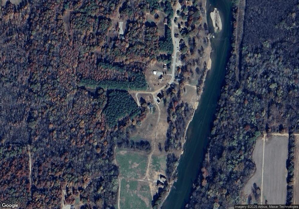
Map
Nearby Homes
- 70 Kenzie Trail
- 190 Current River Trail
- 000 Carmickle Rd
- Lot 15 County Road 198
- Lot 17 County Road 198
- 41 County Road 1851
- 2 Clay 1841 Rd
- Lot 1 Erwin St
- Lot 1 Erwin St
- 449 Thompson Rd
- 2814 Ripley N-2
- 936 Crawdad Ln
- 538 Fowler Rd
- 1203 Highway 67
- 106 Loren St
- 300 Delmer St
- 523 County Road 176
- 215 River Bridge Trail
- 000 Highway 328
- TBD River Bridge Trail
- 462 Current River Trail
- 448 Current River Trail
- 408 Current River Trail
- 380 Current River Trail
- 530 Swift Water Trail
- 350 Current River Trail
- 534 Swift Water Trail
- 335 Current River Trail
- 330 Current River Trail
- 223 Current River Trail
- 310 Current River Trail
- 54 Kincade Trail
- 289 Current River Trail
- 629 Swift Water Trail
- 601 Ruff Ferry Rd
- 569 Ruff Ferry Rd
- 583 Ruff Ferry Rd
- 70 Kincade Trail
- 247 Current River Trail
- 519 Ruff Ferry Rd
Your Personal Tour Guide
Ask me questions while you tour the home.