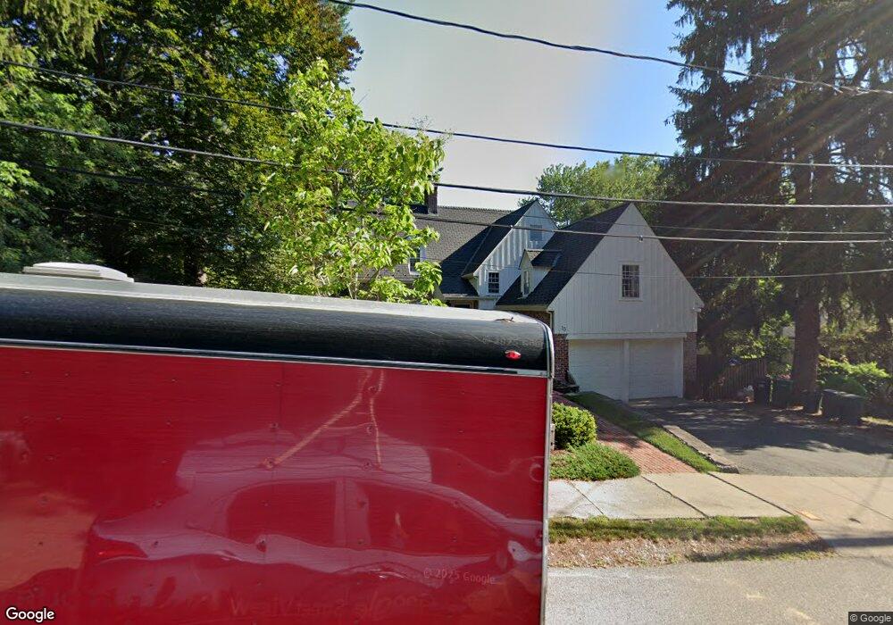
15 Fox Ln Newton Center, MA 02459
Oak Hill NeighborhoodEstimated Value: $1,528,942 - $1,920,000
4
Beds
3
Baths
2,187
Sq Ft
$801/Sq Ft
Est. Value
About This Home
This home is located at 15 Fox Ln, Newton Center, MA 02459 and is currently estimated at $1,752,486, approximately $801 per square foot. 15 Fox Ln is a home located in Middlesex County with nearby schools including Countryside Elementary School, Memorial Spaulding Elementary School, and Charles E Brown Middle School.
Ownership History
Date
Name
Owned For
Owner Type
Purchase Details
Closed on
Jan 29, 2010
Sold by
Lange Michael
Bought by
Lange Michael and Lange Andrea M
Current Estimated Value
Purchase Details
Closed on
Jul 22, 2009
Sold by
Krim 3Rd Share Rt
Bought by
Lange Michael
Home Financials for this Owner
Home Financials are based on the most recent Mortgage that was taken out on this home.
Original Mortgage
$523,750
Interest Rate
5.58%
Mortgage Type
Purchase Money Mortgage
Create a Home Valuation Report for This Property
The Home Valuation Report is an in-depth analysis detailing your home's value as well as a comparison with similar homes in the area
Home Values in the Area
Average Home Value in this Area
Purchase History
| Date | Buyer | Sale Price | Title Company |
|---|---|---|---|
| Lange Michael | -- | -- | |
| Lange Michael | $732,000 | -- | |
| Krim 3Rd Share Rt | -- | -- | |
| Lange Michael | -- | -- | |
| Lange Michael | $732,000 | -- |
Source: Public Records
Mortgage History
| Date | Status | Borrower | Loan Amount |
|---|---|---|---|
| Previous Owner | Lange Michael | $523,750 |
Source: Public Records
Tax History Compared to Growth
Tax History
| Year | Tax Paid | Tax Assessment Tax Assessment Total Assessment is a certain percentage of the fair market value that is determined by local assessors to be the total taxable value of land and additions on the property. | Land | Improvement |
|---|---|---|---|---|
| 2025 | $12,860 | $1,312,200 | $1,069,900 | $242,300 |
| 2024 | $12,434 | $1,274,000 | $1,038,700 | $235,300 |
| 2023 | $11,821 | $1,161,200 | $804,000 | $357,200 |
| 2022 | $11,311 | $1,075,200 | $744,400 | $330,800 |
| 2021 | $10,914 | $1,014,300 | $702,300 | $312,000 |
| 2020 | $10,589 | $1,014,300 | $702,300 | $312,000 |
| 2019 | $10,291 | $984,800 | $681,800 | $303,000 |
| 2018 | $10,025 | $926,500 | $625,400 | $301,100 |
| 2017 | $9,720 | $874,100 | $590,000 | $284,100 |
| 2016 | $9,296 | $816,900 | $551,400 | $265,500 |
| 2015 | $8,864 | $763,500 | $515,300 | $248,200 |
Source: Public Records
Map
Nearby Homes
- 58 Country Club Rd
- 65 Levbert Rd
- 41 Juniper Ln
- 135 Hartman Rd
- 415 Dedham St Unit D
- 45 Brandeis Rd
- 59 Deborah Rd
- 15 Buff Cir
- 56 Cynthia Rd
- 36 Cannon St
- 63 Drumlin Rd
- 36 Ober Rd
- 35 Haynes Rd
- 44 Lovett Rd
- 250 Woodcliff Rd
- 19 Selwyn Rd
- 21 Lovett Rd
- 99 Baldpate Hill Rd
- 207 Nahanton St Unit 207
- 454 Dudley Rd