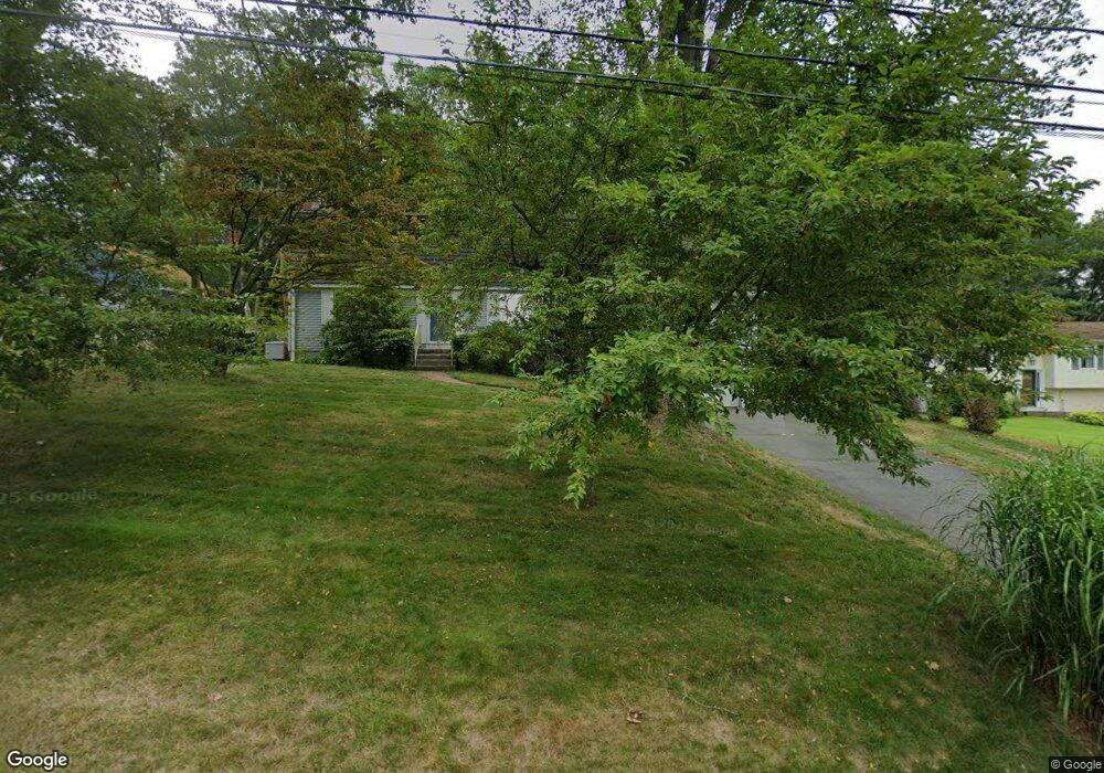
15 Fox Run Rd Unionville, CT 06085
Estimated Value: $488,000 - $646,000
3
Beds
2
Baths
2,170
Sq Ft
$249/Sq Ft
Est. Value
About This Home
This home is located at 15 Fox Run Rd, Unionville, CT 06085 and is currently estimated at $540,462, approximately $249 per square foot. 15 Fox Run Rd is a home located in Hartford County with nearby schools including Union School, West Woods Upper Elementary School, and Irving A. Robbins Middle School.
Ownership History
Date
Name
Owned For
Owner Type
Purchase Details
Closed on
Nov 20, 2018
Sold by
Walsh Donald E and Walsh Gail T
Bought by
Walsh Doanld E
Current Estimated Value
Purchase Details
Closed on
Feb 1, 2016
Sold by
Walsh Donald E
Bought by
Walsh Gail T and Walsh Donald E
Purchase Details
Closed on
Jun 19, 1998
Sold by
Delcegno John P and Delcegno Sally
Bought by
Walsh Donald E and Walsh Janice
Create a Home Valuation Report for This Property
The Home Valuation Report is an in-depth analysis detailing your home's value as well as a comparison with similar homes in the area
Home Values in the Area
Average Home Value in this Area
Purchase History
| Date | Buyer | Sale Price | Title Company |
|---|---|---|---|
| Walsh Doanld E | -- | -- | |
| Walsh Gail T | -- | -- | |
| Walsh Donald E | $218,000 | -- |
Source: Public Records
Mortgage History
| Date | Status | Borrower | Loan Amount |
|---|---|---|---|
| Previous Owner | Walsh Donald E | $106,598 | |
| Previous Owner | Walsh Donald E | $100,000 | |
| Previous Owner | Walsh Donald E | $50,000 |
Source: Public Records
Tax History Compared to Growth
Tax History
| Year | Tax Paid | Tax Assessment Tax Assessment Total Assessment is a certain percentage of the fair market value that is determined by local assessors to be the total taxable value of land and additions on the property. | Land | Improvement |
|---|---|---|---|---|
| 2025 | $7,837 | $294,420 | $104,650 | $189,770 |
| 2024 | $7,493 | $294,420 | $104,650 | $189,770 |
| 2023 | $7,128 | $294,420 | $104,650 | $189,770 |
| 2022 | $6,890 | $235,000 | $95,230 | $139,770 |
| 2021 | $6,770 | $235,000 | $95,230 | $139,770 |
| 2020 | $6,573 | $235,000 | $95,230 | $139,770 |
| 2019 | $6,573 | $235,000 | $95,230 | $139,770 |
| 2018 | $6,387 | $235,000 | $95,230 | $139,770 |
| 2017 | $5,790 | $217,000 | $93,320 | $123,680 |
| 2016 | $5,594 | $217,000 | $93,320 | $123,680 |
| 2015 | $5,427 | $217,000 | $93,320 | $123,680 |
| 2014 | $5,303 | $216,990 | $93,310 | $123,680 |
Source: Public Records
Map
Nearby Homes
- 6 Burlington Rd
- 55 Depot Place
- 31 Railroad Ave
- 7 Newcastle Place
- 148 River Rd
- 61 Litchfield Rd
- 27 Westview Terrace
- 86 Alpine Dr
- 69 Lake Garda Dr
- 8919 Taine Mountain Rd
- 243 New Britain Ave Unit 243
- 94 Perry St
- 267 New Britain Ave
- 50 E Shore Blvd
- 487 Plainville Ave
- 54 Westview Terrace
- 17 Pine Dr
- 16 Strong St
- 1622 Farmington Ave Unit 4
- 10 Woodside Dr