15 Freedom Way Unit 47 Niantic, CT 06357
Estimated Value: $222,037 - $255,000
1
Bed
1
Bath
937
Sq Ft
$255/Sq Ft
Est. Value
About This Home
This home is located at 15 Freedom Way Unit 47, Niantic, CT 06357 and is currently estimated at $239,259, approximately $255 per square foot. 15 Freedom Way Unit 47 is a home located in New London County with nearby schools including East Lyme Middle School, East Lyme High School, and Lighthouse Vocation Education Center.
Ownership History
Date
Name
Owned For
Owner Type
Purchase Details
Closed on
Oct 17, 2014
Sold by
Strecker Amy
Bought by
Lane Scottie K
Current Estimated Value
Purchase Details
Closed on
Apr 12, 2011
Sold by
Liberty Bank
Bought by
Federal National Mortgage Association
Purchase Details
Closed on
Aug 4, 2008
Sold by
Sea Spray Homes Llc
Bought by
Schwartz Michael
Home Financials for this Owner
Home Financials are based on the most recent Mortgage that was taken out on this home.
Original Mortgage
$80,000
Interest Rate
6.47%
Create a Home Valuation Report for This Property
The Home Valuation Report is an in-depth analysis detailing your home's value as well as a comparison with similar homes in the area
Home Values in the Area
Average Home Value in this Area
Purchase History
| Date | Buyer | Sale Price | Title Company |
|---|---|---|---|
| Lane Scottie K | $115,000 | -- | |
| Federal National Mortgage Association | -- | -- | |
| Schwartz Michael | $109,760 | -- |
Source: Public Records
Mortgage History
| Date | Status | Borrower | Loan Amount |
|---|---|---|---|
| Previous Owner | Schwartz Michael | $80,000 |
Source: Public Records
Tax History Compared to Growth
Tax History
| Year | Tax Paid | Tax Assessment Tax Assessment Total Assessment is a certain percentage of the fair market value that is determined by local assessors to be the total taxable value of land and additions on the property. | Land | Improvement |
|---|---|---|---|---|
| 2025 | $2,259 | $80,640 | $0 | $80,640 |
| 2024 | $2,125 | $80,640 | $0 | $80,640 |
| 2023 | $2,006 | $80,640 | $0 | $80,640 |
| 2022 | $1,922 | $80,640 | $0 | $80,640 |
| 2021 | $2,147 | $75,320 | $0 | $75,320 |
| 2020 | $2,136 | $75,320 | $0 | $75,320 |
| 2019 | $2,123 | $75,320 | $0 | $75,320 |
| 2018 | $2,060 | $75,320 | $0 | $75,320 |
| 2017 | $1,970 | $75,320 | $0 | $75,320 |
| 2016 | $1,871 | $73,780 | $0 | $73,780 |
| 2015 | $1,823 | $73,780 | $0 | $73,780 |
| 2014 | $1,773 | $73,780 | $0 | $73,780 |
Source: Public Records
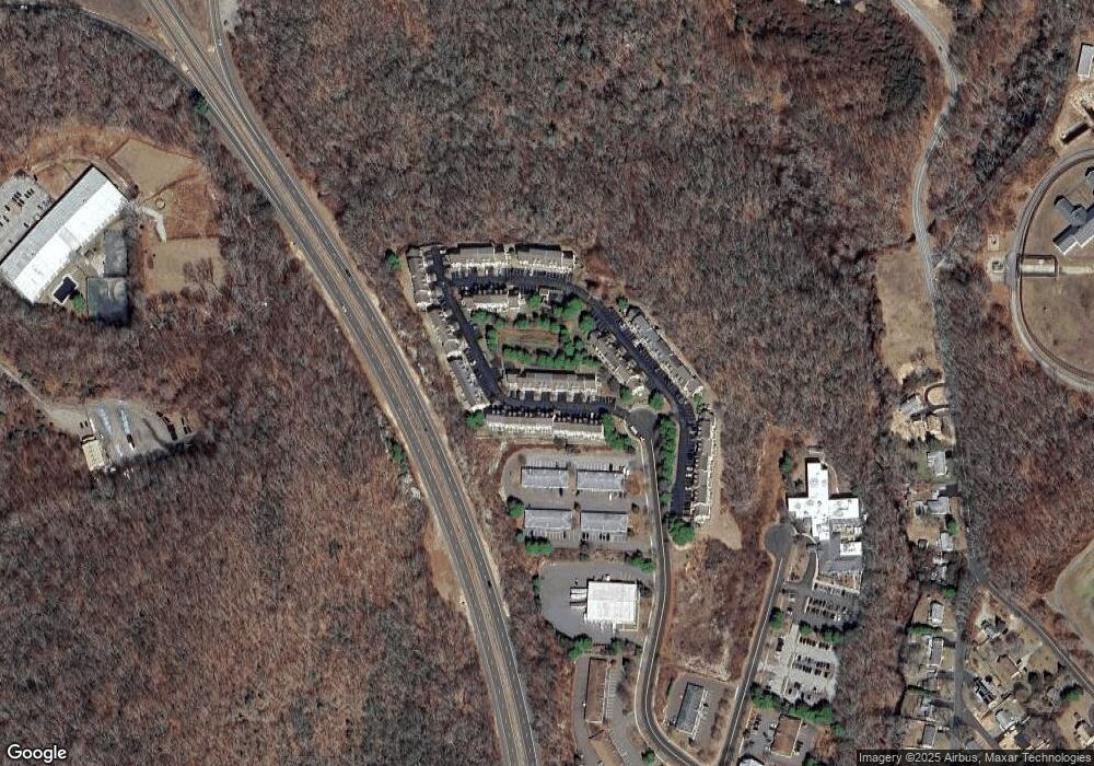
Map
Nearby Homes
- 15 Freedom Way Unit 92
- 14 Colton Rd
- 188 4 Mile River Rd
- 18 Twin Valley Rd
- 16 Twin Valley Rd
- Waramaug Plan at Riverside Reserve
- Highland Plan at Riverside Reserve
- Hayward Plan at Riverside Reserve
- Ashford Plan at Riverside Reserve
- Lillinonah Plan at Riverside Reserve
- 4 Jean Dr
- 55 Corey Ln
- 78 Corey Ln Unit 9
- 2 Riverdale Landing
- 22 Riverdale Landing
- 97 W Main St Unit 24
- 15 Short Hills Rd
- 223 N Bride Brook Rd
- 223 Giants Neck Rd
- 15 Griswold Rd
- 15 Freedom Way Unit 28
- 15 Freedom Way Unit 108
- 15 Freedom Way Unit 107
- 15 Freedom Way Unit 106
- 15 Freedom Way Unit 105
- 15 Freedom Way Unit 104
- 15 Freedom Way Unit 103
- 15 Freedom Way Unit 20
- 15 Freedom Way Unit 19
- 15 Freedom Way Unit 18
- 15 Freedom Way Unit 17
- 15 Freedom Way Unit 16
- 15 Freedom Way
- 15 Freedom Way Unit 14
- 15 Freedom Way Unit 13
- 15 Freedom Way Unit 12
- 15 Freedom Way Unit 11
- 15 Freedom Way Unit 10
- 15 Freedom Way Unit 9
- 15 Freedom Way Unit 8