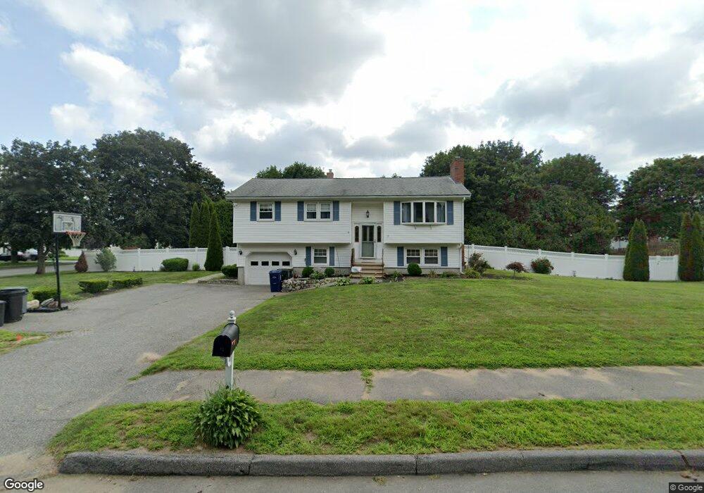
15 Freeport Dr Wilmington, MA 01887
Estimated Value: $670,000 - $907,000
3
Beds
1
Bath
1,080
Sq Ft
$735/Sq Ft
Est. Value
About This Home
This home is located at 15 Freeport Dr, Wilmington, MA 01887 and is currently estimated at $793,291, approximately $734 per square foot. 15 Freeport Dr is a home located in Middlesex County with nearby schools including Wilmington Middle School, Wilmington High School, and N Reading Knowledge Beginnings.
Ownership History
Date
Name
Owned For
Owner Type
Purchase Details
Closed on
Mar 23, 1998
Sold by
Liggiero Michael and Liggiero Carmella M
Bought by
Davis Kenneth S
Current Estimated Value
Home Financials for this Owner
Home Financials are based on the most recent Mortgage that was taken out on this home.
Original Mortgage
$178,100
Interest Rate
6.92%
Mortgage Type
Purchase Money Mortgage
Create a Home Valuation Report for This Property
The Home Valuation Report is an in-depth analysis detailing your home's value as well as a comparison with similar homes in the area
Home Values in the Area
Average Home Value in this Area
Purchase History
| Date | Buyer | Sale Price | Title Company |
|---|---|---|---|
| Davis Kenneth S | $237,500 | -- |
Source: Public Records
Mortgage History
| Date | Status | Borrower | Loan Amount |
|---|---|---|---|
| Open | Davis Kenneth S | $253,000 | |
| Closed | Davis Kenneth S | $180,000 | |
| Closed | Davis Kenneth S | $120,000 | |
| Closed | Davis Kenneth S | $178,100 |
Source: Public Records
Tax History Compared to Growth
Tax History
| Year | Tax Paid | Tax Assessment Tax Assessment Total Assessment is a certain percentage of the fair market value that is determined by local assessors to be the total taxable value of land and additions on the property. | Land | Improvement |
|---|---|---|---|---|
| 2025 | $7,660 | $669,000 | $339,100 | $329,900 |
| 2024 | $7,595 | $664,500 | $339,100 | $325,400 |
| 2023 | $7,086 | $593,500 | $287,800 | $305,700 |
| 2022 | $6,733 | $516,700 | $239,700 | $277,000 |
| 2021 | $6,592 | $476,300 | $217,900 | $258,400 |
| 2020 | $6,638 | $488,800 | $217,900 | $270,900 |
| 2019 | $6,194 | $450,500 | $213,000 | $237,500 |
| 2018 | $5,823 | $404,100 | $202,900 | $201,200 |
| 2017 | $5,731 | $396,600 | $202,900 | $193,700 |
| 2016 | $5,442 | $372,000 | $193,400 | $178,600 |
| 2015 | $5,251 | $365,400 | $193,400 | $172,000 |
| 2014 | $4,941 | $347,000 | $184,200 | $162,800 |
Source: Public Records
Map
Nearby Homes
- 3 Gordon Rd
- 220 Martins Landing Unit 309
- 260 Martins Landing Unit 508
- 260 Martins Landing Unit 103
- 200 Martins Landing Unit 102
- 300 Martins Landing Unit 107
- 320 Martins Landing Unit 311
- 320 Martins Landing Unit 108
- 320 Martins Landing Unit 109
- 320 Martins Landing Unit 110
- 320 Martins Landing Unit 303
- 320 Martins Landing Unit 102
- 320 Martins Landing Unit 103
- 320 Martins Landing Unit 2410
- 320 Martins Landing Unit 403
- 320 Martins Landing Unit 107
- 320 Martins Landing Unit 210
- 320 Martins Landing Unit 2201
- 320 Martins Landing Unit 112
- 320 Martins Landing Unit 206