15 Frisbie Cir Wolcott, CT 06716
Estimated Value: $265,000 - $298,674
4
Beds
1
Bath
868
Sq Ft
$325/Sq Ft
Est. Value
About This Home
This home is located at 15 Frisbie Cir, Wolcott, CT 06716 and is currently estimated at $282,419, approximately $325 per square foot. 15 Frisbie Cir is a home located in New Haven County with nearby schools including Tyrrell Middle School, Wolcott High School, and St Peter & Paul School.
Ownership History
Date
Name
Owned For
Owner Type
Purchase Details
Closed on
Feb 16, 2010
Sold by
Department Of Housing & Urban Dev
Bought by
Campagna Mark and Campagna Karen
Current Estimated Value
Purchase Details
Closed on
Oct 26, 2009
Sold by
Chase Home Finance Llc
Bought by
Department Of Housing & Urban Dev
Purchase Details
Closed on
Mar 10, 2009
Sold by
Cekauskas Wayne R
Bought by
Chase Home Finance Llc
Purchase Details
Closed on
Jun 5, 2003
Sold by
Lyttle V William H
Bought by
Cekauskas Wayne R
Home Financials for this Owner
Home Financials are based on the most recent Mortgage that was taken out on this home.
Original Mortgage
$116,600
Interest Rate
5.83%
Create a Home Valuation Report for This Property
The Home Valuation Report is an in-depth analysis detailing your home's value as well as a comparison with similar homes in the area
Home Values in the Area
Average Home Value in this Area
Purchase History
| Date | Buyer | Sale Price | Title Company |
|---|---|---|---|
| Campagna Mark | $115,000 | -- | |
| Department Of Housing & Urban Dev | -- | -- | |
| Chase Home Finance Llc | -- | -- | |
| Cekauskas Wayne R | $119,915 | -- |
Source: Public Records
Mortgage History
| Date | Status | Borrower | Loan Amount |
|---|---|---|---|
| Previous Owner | Chase Home Finance Llc | $208,550 | |
| Previous Owner | Cekauskas Wayne R | $116,600 |
Source: Public Records
Tax History Compared to Growth
Tax History
| Year | Tax Paid | Tax Assessment Tax Assessment Total Assessment is a certain percentage of the fair market value that is determined by local assessors to be the total taxable value of land and additions on the property. | Land | Improvement |
|---|---|---|---|---|
| 2025 | $4,765 | $132,630 | $40,150 | $92,480 |
| 2024 | $4,386 | $132,630 | $40,150 | $92,480 |
| 2023 | $4,227 | $132,630 | $40,150 | $92,480 |
| 2022 | $4,085 | $132,630 | $40,150 | $92,480 |
| 2021 | $3,679 | $111,010 | $38,050 | $72,960 |
| 2020 | $3,679 | $111,010 | $38,050 | $72,960 |
| 2019 | $3,679 | $111,010 | $38,050 | $72,960 |
| 2018 | $3,575 | $111,010 | $38,050 | $72,960 |
| 2017 | $3,471 | $111,010 | $38,050 | $72,960 |
| 2016 | $3,468 | $119,970 | $38,750 | $81,220 |
| 2015 | $3,369 | $119,970 | $38,750 | $81,220 |
| 2014 | $3,260 | $119,970 | $38,750 | $81,220 |
Source: Public Records
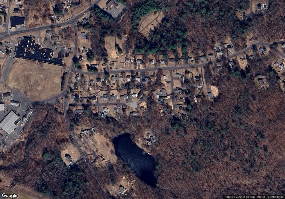
Map
Nearby Homes
- 0 Woodtick Rd Unit 24119429
- 1209 Woodtick Rd
- 2 Old Farms Rd
- 44 Knollwood Dr
- 00 Woodtick Rd
- 59 Forest Ln
- 47 Finch Rd
- 77 S Colman Rd
- 20 Wolf Hill Rd Unit 4D
- 20 Wolf Hill Rd Unit 6F
- 0 Bound Line Rd Unit 170253486
- 3 Pimlico Rd
- 7 Pimlico Rd
- 0 Central Avenue and Old Bound Line Rd
- 210 Munson Rd Unit 2-G
- 210 Munson Rd Unit 2-F
- 210 Munson Rd Unit 2-E
- 210 Munson Rd Unit 2-D
- 210 Munson Rd Unit 2-C
- 210 Munson Rd Unit 2-B