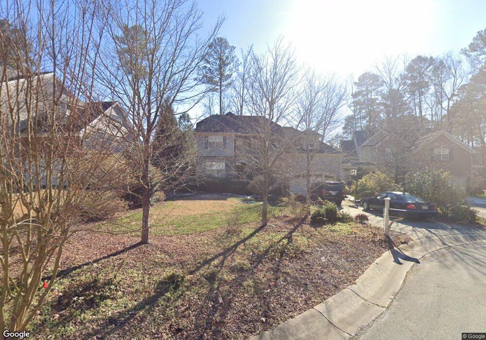
15 Frontier Way Durham, NC 27713
Estimated Value: $674,100 - $799,000
4
Beds
3
Baths
2,885
Sq Ft
$247/Sq Ft
Est. Value
About This Home
This home is located at 15 Frontier Way, Durham, NC 27713 and is currently estimated at $711,275, approximately $246 per square foot. 15 Frontier Way is a home located in Durham County with nearby schools including Lowe's Grove Middle, Hillside High School, and Kestrel Heights School.
Ownership History
Date
Name
Owned For
Owner Type
Purchase Details
Closed on
Jan 30, 2008
Sold by
Centex Homes
Bought by
Franse Eldon M and Franse Doris
Current Estimated Value
Home Financials for this Owner
Home Financials are based on the most recent Mortgage that was taken out on this home.
Original Mortgage
$284,000
Outstanding Balance
$171,412
Interest Rate
5.25%
Mortgage Type
Purchase Money Mortgage
Estimated Equity
$539,863
Create a Home Valuation Report for This Property
The Home Valuation Report is an in-depth analysis detailing your home's value as well as a comparison with similar homes in the area
Home Values in the Area
Average Home Value in this Area
Purchase History
| Date | Buyer | Sale Price | Title Company |
|---|---|---|---|
| Franse Eldon M | $355,000 | None Available |
Source: Public Records
Mortgage History
| Date | Status | Borrower | Loan Amount |
|---|---|---|---|
| Open | Franse Eldon M | $284,000 | |
| Closed | Franse Eldon M | $53,250 |
Source: Public Records
Tax History Compared to Growth
Tax History
| Year | Tax Paid | Tax Assessment Tax Assessment Total Assessment is a certain percentage of the fair market value that is determined by local assessors to be the total taxable value of land and additions on the property. | Land | Improvement |
|---|---|---|---|---|
| 2025 | $5,415 | $623,916 | $142,875 | $481,041 |
| 2024 | $5,415 | $388,229 | $79,250 | $308,979 |
| 2023 | $5,085 | $388,229 | $79,250 | $308,979 |
| 2022 | $4,969 | $388,229 | $79,250 | $308,979 |
| 2021 | $4,946 | $388,229 | $79,250 | $308,979 |
| 2020 | $4,829 | $388,229 | $79,250 | $308,979 |
| 2019 | $5,254 | $422,418 | $79,250 | $343,168 |
| 2018 | $4,695 | $346,114 | $63,400 | $282,714 |
| 2017 | $4,660 | $346,114 | $63,400 | $282,714 |
| 2016 | $4,503 | $346,114 | $63,400 | $282,714 |
| 2015 | $5,243 | $378,719 | $79,285 | $299,434 |
| 2014 | $5,243 | $378,719 | $79,285 | $299,434 |
Source: Public Records
Map
Nearby Homes
- 1021 Park Glen Place
- 7409 Chesley Ln
- 6353 Grandale Dr
- 108 Ashmont Ln
- 5403 Lyon Farm Dr
- 5504 Pelham Rd
- 5 Huckleberry Ct
- 9 Monteith Ct
- 12 Haycox Ct
- 1109 Seaton Rd
- 616 Cheselden Dr
- 708 Cheselden Dr
- 1227 Seaton Rd Unit 54
- 5320 Newhall Rd
- 1304 Seaton Rd Unit 1
- 1304 Seaton Rd Unit 24
- 602 Lyon Tree Ln
- 205 Landreth Ct
- 1621 Clermont Rd
- 6010 Newhall Rd
- 13 Frontier Way
- 17 Frontier Way
- 11 Frontier Way
- 10 Moortown Ct
- 12 Moortown Ct
- 19 Frontier Way
- 14 Moortown Ct
- 21 Frontier Way
- 8 Moortown Ct
- 9 Frontier Way
- 14 Frontier Way
- 12 Frontier Way
- 16 Frontier Way
- 16 Moortown Ct
- 18 Frontier Way
- 10 Frontier Way
- 7 Frontier Way
- 6 Moortown Ct
- 8 Frontier Way
- 9 Moortown Ct