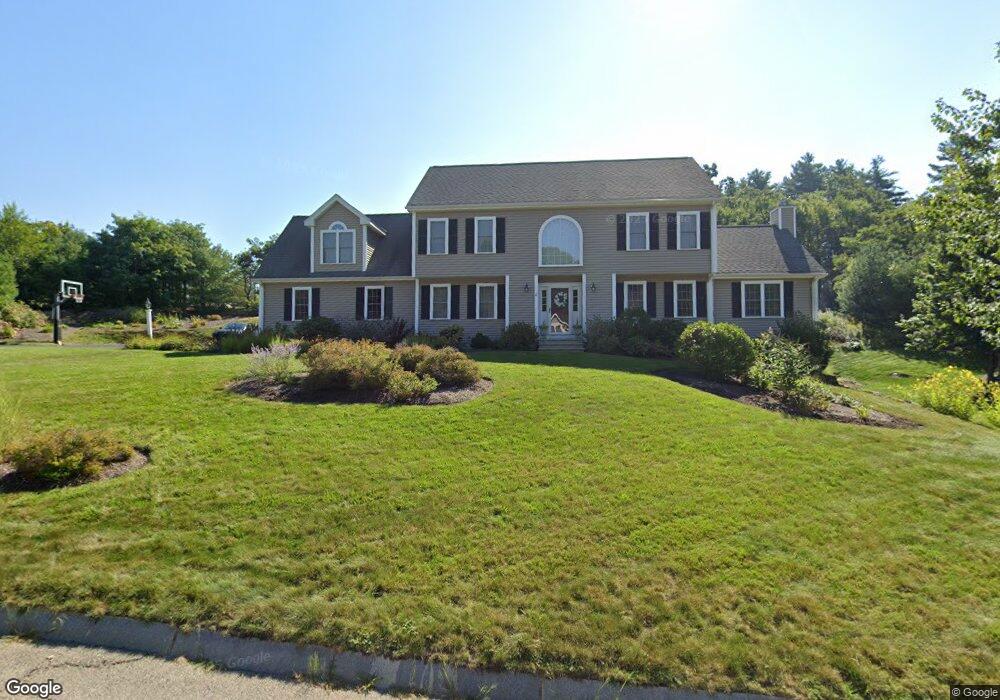
15 Gannett Way Hopedale, MA 01747
Estimated Value: $809,000 - $867,000
4
Beds
3
Baths
2,900
Sq Ft
$289/Sq Ft
Est. Value
About This Home
This home is located at 15 Gannett Way, Hopedale, MA 01747 and is currently estimated at $839,073, approximately $289 per square foot. 15 Gannett Way is a home located in Worcester County with nearby schools including Memorial Elementary School, Hopedale Jr Sr High School, and Bethany Christian Academy.
Ownership History
Date
Name
Owned For
Owner Type
Purchase Details
Closed on
Nov 19, 2010
Sold by
Whiteman Mark G and Whiteman Annette K
Bought by
Morris Paul J
Current Estimated Value
Home Financials for this Owner
Home Financials are based on the most recent Mortgage that was taken out on this home.
Original Mortgage
$336,000
Outstanding Balance
$222,027
Interest Rate
4.3%
Mortgage Type
Purchase Money Mortgage
Estimated Equity
$617,046
Purchase Details
Closed on
Apr 17, 2003
Sold by
Greene Mill Properties
Bought by
Whiteman Mark G and Whiteman Annette K
Home Financials for this Owner
Home Financials are based on the most recent Mortgage that was taken out on this home.
Original Mortgage
$240,000
Interest Rate
5.75%
Mortgage Type
Purchase Money Mortgage
Create a Home Valuation Report for This Property
The Home Valuation Report is an in-depth analysis detailing your home's value as well as a comparison with similar homes in the area
Home Values in the Area
Average Home Value in this Area
Purchase History
| Date | Buyer | Sale Price | Title Company |
|---|---|---|---|
| Morris Paul J | $495,000 | -- | |
| Whiteman Mark G | $478,600 | -- |
Source: Public Records
Mortgage History
| Date | Status | Borrower | Loan Amount |
|---|---|---|---|
| Open | Morris Paul J | $336,000 | |
| Closed | Whiteman Mark G | $20,000 | |
| Previous Owner | Whiteman Mark G | $240,000 |
Source: Public Records
Tax History Compared to Growth
Tax History
| Year | Tax Paid | Tax Assessment Tax Assessment Total Assessment is a certain percentage of the fair market value that is determined by local assessors to be the total taxable value of land and additions on the property. | Land | Improvement |
|---|---|---|---|---|
| 2025 | $12,615 | $759,500 | $234,000 | $525,500 |
| 2024 | $11,995 | $722,600 | $223,200 | $499,400 |
| 2023 | $10,748 | $665,500 | $220,400 | $445,100 |
| 2022 | $10,476 | $612,300 | $202,000 | $410,300 |
| 2021 | $10,020 | $560,700 | $183,600 | $377,100 |
| 2020 | $9,762 | $560,700 | $183,600 | $377,100 |
| 2019 | $6,454 | $519,800 | $183,600 | $336,200 |
| 2018 | $8,983 | $511,000 | $183,600 | $327,400 |
| 2017 | $8,524 | $493,000 | $183,600 | $309,400 |
| 2016 | $8,206 | $487,600 | $183,600 | $304,000 |
| 2015 | $7,819 | $471,600 | $183,600 | $288,000 |
Source: Public Records
Map
Nearby Homes
- 11 Heron Ln
- 11-13 Malquin Dr
- 3 Birch Cir
- 112 Greene St
- 17 Harmony Trail
- 1 Haven Way
- 164 Greene St
- 29 Harmony Trail
- 116 Adin St
- 106 Adin St
- 211A S Main St
- 108 Laurelwood Dr Unit 108
- 103 Laurelwood Dr
- 7 Ariana Cir Unit 7
- 9 Ariana Cir Unit 9
- 57 Hill St
- 6 Steel Rd
- 6 1/2 Leonard St
- 2 Crestview Dr
- 30 Whitney St