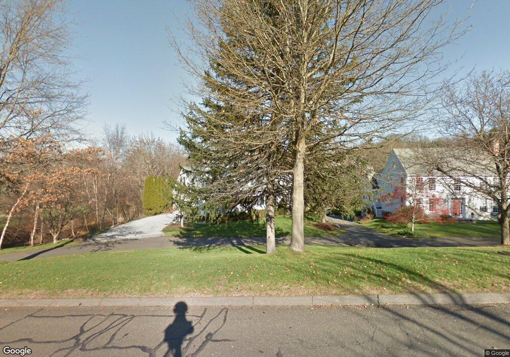
15 Gault Ave Westport, CT 06880
Westport Village NeighborhoodEstimated Value: $2,489,369 - $2,653,000
4
Beds
3
Baths
3,262
Sq Ft
$789/Sq Ft
Est. Value
About This Home
This home is located at 15 Gault Ave, Westport, CT 06880 and is currently estimated at $2,574,592, approximately $789 per square foot. 15 Gault Ave is a home located in Fairfield County with nearby schools including Saugatuck Elementary School, Bedford Middle School, and Staples High School.
Ownership History
Date
Name
Owned For
Owner Type
Purchase Details
Closed on
Mar 1, 2022
Sold by
Lynch Phillip K and Lynch Maureen H
Bought by
Linden Jonathan and Gerstein Carrie
Current Estimated Value
Home Financials for this Owner
Home Financials are based on the most recent Mortgage that was taken out on this home.
Original Mortgage
$1,600,000
Outstanding Balance
$1,468,966
Interest Rate
2.5%
Mortgage Type
Purchase Money Mortgage
Estimated Equity
$1,105,626
Purchase Details
Closed on
Jul 14, 1994
Sold by
Gault Howard
Bought by
Lynch Phillip and Lynch Maureen
Create a Home Valuation Report for This Property
The Home Valuation Report is an in-depth analysis detailing your home's value as well as a comparison with similar homes in the area
Home Values in the Area
Average Home Value in this Area
Purchase History
| Date | Buyer | Sale Price | Title Company |
|---|---|---|---|
| Linden Jonathan | $2,000,000 | None Available | |
| Linden Jonathan | $2,000,000 | None Available | |
| Lynch Phillip | $205,000 | -- | |
| Lynch Phillip | $205,000 | -- |
Source: Public Records
Mortgage History
| Date | Status | Borrower | Loan Amount |
|---|---|---|---|
| Open | Linden Jonathan | $1,600,000 | |
| Closed | Linden Jonathan | $1,600,000 | |
| Previous Owner | Lynch Phillip | $120,000 | |
| Previous Owner | Lynch Phillip | $333,700 |
Source: Public Records
Tax History Compared to Growth
Tax History
| Year | Tax Paid | Tax Assessment Tax Assessment Total Assessment is a certain percentage of the fair market value that is determined by local assessors to be the total taxable value of land and additions on the property. | Land | Improvement |
|---|---|---|---|---|
| 2025 | $15,939 | $845,100 | $453,000 | $392,100 |
| 2024 | $15,736 | $845,100 | $453,000 | $392,100 |
| 2023 | $15,508 | $845,100 | $453,000 | $392,100 |
| 2022 | $15,271 | $845,100 | $453,000 | $392,100 |
| 2021 | $15,271 | $845,100 | $453,000 | $392,100 |
| 2020 | $13,617 | $854,900 | $478,200 | $376,700 |
| 2019 | $14,414 | $854,900 | $478,200 | $376,700 |
| 2018 | $14,414 | $854,900 | $478,200 | $376,700 |
| 2017 | $14,414 | $854,900 | $478,200 | $376,700 |
| 2016 | $14,414 | $854,900 | $478,200 | $376,700 |
| 2015 | $14,119 | $780,500 | $370,900 | $409,600 |
| 2014 | $14,002 | $780,500 | $370,900 | $409,600 |
Source: Public Records
Map
Nearby Homes
- 102 Compo Rd S
- 3 Laurel Ln
- 5 Franklin Ave
- 6 Over Rock Ln
- 171 & 169 Compo Rd S
- 23 Bridge St
- 21 Wright St
- 60 Wilton Rd Unit 2C
- 5A Sunrise Rd
- 42 Kings Hwy S
- 26 Treadwell Ave
- 202 Bradley Ln Unit 202
- 9 Crescent Park Rd
- 109 Greens Farms Rd
- 24 Edgemarth Hill Rd
- 26 Crescent Park Rd
- 28 Crescent Park Rd
- 11 Old Hill Rd
- 123 Greens Farms Rd
- 61 Edgewater Commons Ln