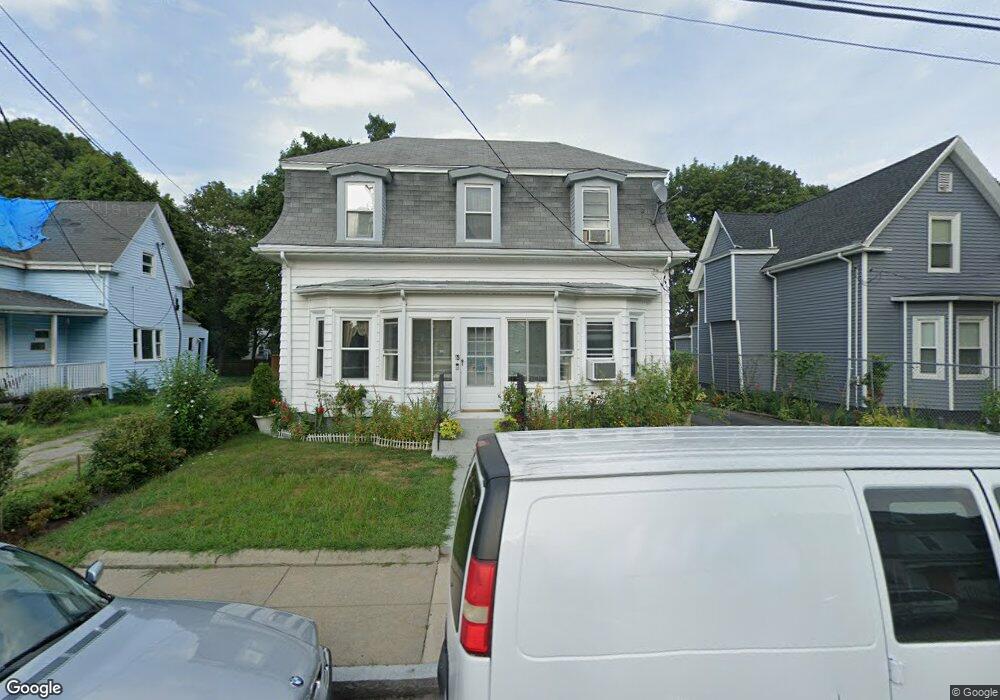
15 George St Mattapan, MA 02126
Hyde Park NeighborhoodEstimated Value: $607,000 - $683,000
3
Beds
2
Baths
1,576
Sq Ft
$417/Sq Ft
Est. Value
About This Home
This home is located at 15 George St, Mattapan, MA 02126 and is currently estimated at $657,730, approximately $417 per square foot. 15 George St is a home located in Suffolk County with nearby schools including Boston Preparatory Charter Public School and New Beginnings Academy.
Ownership History
Date
Name
Owned For
Owner Type
Purchase Details
Closed on
Oct 19, 2022
Sold by
Stephens Michael G and Stephens Kayon E
Bought by
Stephens Lt
Current Estimated Value
Purchase Details
Closed on
Mar 31, 2000
Sold by
Durant Thomas D and Durant Anne T
Bought by
Stephens Michael G and Stephens Kayon E
Create a Home Valuation Report for This Property
The Home Valuation Report is an in-depth analysis detailing your home's value as well as a comparison with similar homes in the area
Home Values in the Area
Average Home Value in this Area
Purchase History
| Date | Buyer | Sale Price | Title Company |
|---|---|---|---|
| Stephens Lt | -- | None Available | |
| Stephens Michael G | $130,000 | -- |
Source: Public Records
Mortgage History
| Date | Status | Borrower | Loan Amount |
|---|---|---|---|
| Previous Owner | Stephens Michael G | $80,000 | |
| Previous Owner | Stephens Michael G | $121,000 |
Source: Public Records
Tax History
| Year | Tax Paid | Tax Assessment Tax Assessment Total Assessment is a certain percentage of the fair market value that is determined by local assessors to be the total taxable value of land and additions on the property. | Land | Improvement |
|---|---|---|---|---|
| 2025 | $7,043 | $608,200 | $208,900 | $399,300 |
| 2024 | $6,020 | $552,300 | $202,300 | $350,000 |
| 2023 | $5,492 | $511,400 | $187,300 | $324,100 |
| 2022 | $5,200 | $477,900 | $175,000 | $302,900 |
| 2021 | $4,728 | $443,100 | $168,300 | $274,800 |
| 2020 | $4,630 | $438,400 | $172,800 | $265,600 |
| 2019 | $4,190 | $397,500 | $133,300 | $264,200 |
| 2018 | $3,967 | $378,500 | $133,300 | $245,200 |
| 2017 | $3,679 | $347,400 | $133,300 | $214,100 |
| 2016 | $3,605 | $327,700 | $133,300 | $194,400 |
| 2015 | $3,555 | $293,600 | $113,700 | $179,900 |
| 2014 | $3,413 | $271,300 | $113,700 | $157,600 |
Source: Public Records
Map
Nearby Homes
- 106 Lewiston St
- 7 Winborough St
- 24 Belnel Rd
- 52 Taunton Ave
- 75-77 Belnel Rd
- 27 Ralwood Rd
- 0 Tina Ave
- 30 Massasoit St
- 23 Caton St
- 19 Melba Way
- 34 Ridlon Rd
- 645 River St
- 19 Tacoma St
- 640 River St
- 16 Concord Ave Unit 1
- 265 Hebron St
- 18 Rugby Rd
- 87 Victoria Heights Rd
- 65 Victoria Heights Rd Unit 65
- 839-843 Cummins Hwy
Your Personal Tour Guide
Ask me questions while you tour the home.