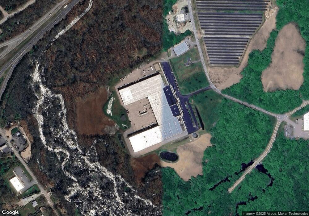
15 Gray Ln Unit 1 Ashaway, RI 02804
Ashley-Bradford Neighborhood
--
Bed
--
Bath
232,164
Sq Ft
41
Acres
About This Home
This home is located at 15 Gray Ln Unit 1, Ashaway, RI 02804. 15 Gray Ln Unit 1 is a home located in Washington County with nearby schools including Chariho Regional Middle School, Chariho High School, and North Stonington Christian Academy.
Ownership History
Date
Name
Owned For
Owner Type
Purchase Details
Closed on
Feb 21, 2007
Sold by
Gilman Family Lp
Bought by
Hopkinton Industrial L
Home Financials for this Owner
Home Financials are based on the most recent Mortgage that was taken out on this home.
Original Mortgage
$1,700,000
Interest Rate
6.23%
Mortgage Type
Commercial
Create a Home Valuation Report for This Property
The Home Valuation Report is an in-depth analysis detailing your home's value as well as a comparison with similar homes in the area
Home Values in the Area
Average Home Value in this Area
Purchase History
| Date | Buyer | Sale Price | Title Company |
|---|---|---|---|
| Hopkinton Industrial L | $1,100,000 | -- |
Source: Public Records
Mortgage History
| Date | Status | Borrower | Loan Amount |
|---|---|---|---|
| Open | Hopkinton Industrial L | $8,000,000 | |
| Closed | Hopkinton Industrial L | $140,000 | |
| Closed | Hopkinton Industrial L | $3,295,000 | |
| Closed | Hopkinton Industrial L | $1,700,000 |
Source: Public Records
Tax History Compared to Growth
Tax History
| Year | Tax Paid | Tax Assessment Tax Assessment Total Assessment is a certain percentage of the fair market value that is determined by local assessors to be the total taxable value of land and additions on the property. | Land | Improvement |
|---|---|---|---|---|
| 2025 | $247,342 | $16,176,700 | $1,319,000 | $14,857,700 |
| 2024 | $243,621 | $16,176,700 | $1,319,000 | $14,857,700 |
| 2023 | $237,150 | $16,176,700 | $1,319,000 | $14,857,700 |
| 2022 | $238,763 | $12,885,200 | $1,157,500 | $11,727,700 |
| 2021 | $238,763 | $12,885,200 | $1,157,500 | $11,727,700 |
| 2020 | $235,541 | $12,885,200 | $1,157,500 | $11,727,700 |
| 2019 | $216,389 | $10,463,700 | $1,106,700 | $9,357,000 |
| 2018 | $210,006 | $10,463,700 | $1,106,700 | $9,357,000 |
| 2017 | $210,006 | $10,463,700 | $1,106,700 | $9,357,000 |
| 2016 | $214,406 | $10,387,900 | $1,106,700 | $9,281,200 |
| 2015 | $211,705 | $10,387,900 | $1,106,700 | $9,281,200 |
| 2014 | $214,406 | $10,387,900 | $1,106,700 | $9,281,200 |
| 2013 | $214,267 | $10,838,000 | $1,154,000 | $9,684,000 |
Source: Public Records
Map
Nearby Homes
- 20 Maple Ct
- 0 Maxson Hill Rd
- 94 Maxson Hill Rd
- 12 Lake Ct
- 440 Main St
- 121 Clarks Falls Rd
- 23 Pine Woods Rd
- 5 Havens Rd
- 287 Tomaquag Rd
- 86 Oak St
- 317 Tomaquag Rd
- 351 Tomaquag Rd
- 82 Potter Hill Rd
- 352 Pendleton Hill Rd
- 1 Cleo Ct
- 203 Reutemann Rd
- 19 Nichols Ln
- 21 Nichols Ln
- 5 Boy Scout Dr
- 42 Meadowview Terrace Unit 44
- 15 Gray Ln
- 19 Gray Ln
- 23 Gray Ln
- 46 Gray Ln
- 46 Gray Ln & 0 Main St
- 323 Clarks Falls Rd
- 126 High St
- 50 Wellstown Rd
- 39 Wellstown Rd
- 124 High St
- 45 Wellstown Rd
- 49 Wellstown Rd
- 332 Clarks Falls Rd
- 121 High St
- 334 Clarks Falls Rd
- 15 Wellstown Rd
- 51 Wellstown Rd
- 56 Wellstown Rd
- 53 Wellstown Rd
- 0 Clark Falls Rd Unit E272171