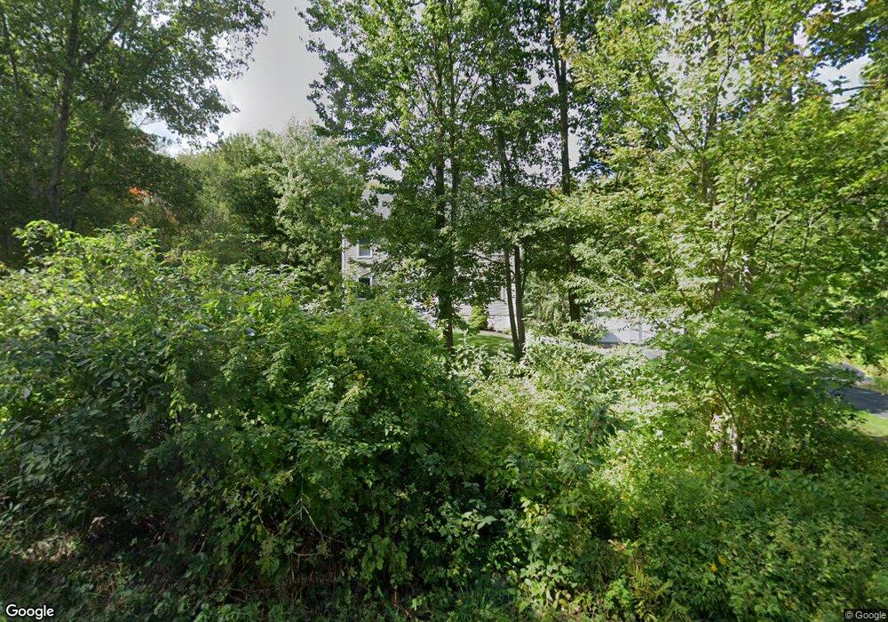
15 Greenwood St Eliot, ME 03903
South Eliot NeighborhoodEstimated Value: $759,000 - $935,000
3
Beds
3
Baths
2,128
Sq Ft
$396/Sq Ft
Est. Value
About This Home
This home is located at 15 Greenwood St, Eliot, ME 03903 and is currently estimated at $842,639, approximately $395 per square foot. 15 Greenwood St is a home located in York County with nearby schools including Marshwood High School and Seacoast Waldorf School.
Ownership History
Date
Name
Owned For
Owner Type
Purchase Details
Closed on
Apr 29, 2011
Sold by
Piper Timothy P
Bought by
Piper Melissa
Current Estimated Value
Purchase Details
Closed on
Oct 9, 2007
Sold by
Brown Mary S and Brown Thomas L
Bought by
Piper Timothy and Piper Melissa
Home Financials for this Owner
Home Financials are based on the most recent Mortgage that was taken out on this home.
Original Mortgage
$215,000
Outstanding Balance
$136,883
Interest Rate
6.59%
Mortgage Type
Unknown
Estimated Equity
$705,756
Create a Home Valuation Report for This Property
The Home Valuation Report is an in-depth analysis detailing your home's value as well as a comparison with similar homes in the area
Home Values in the Area
Average Home Value in this Area
Purchase History
| Date | Buyer | Sale Price | Title Company |
|---|---|---|---|
| Piper Melissa | -- | -- | |
| Piper Timothy | -- | -- |
Source: Public Records
Mortgage History
| Date | Status | Borrower | Loan Amount |
|---|---|---|---|
| Open | Piper Timothy | $215,000 |
Source: Public Records
Tax History Compared to Growth
Tax History
| Year | Tax Paid | Tax Assessment Tax Assessment Total Assessment is a certain percentage of the fair market value that is determined by local assessors to be the total taxable value of land and additions on the property. | Land | Improvement |
|---|---|---|---|---|
| 2024 | $6,235 | $526,200 | $139,800 | $386,400 |
| 2023 | $6,168 | $503,500 | $133,400 | $370,100 |
| 2022 | $5,895 | $487,200 | $133,400 | $353,800 |
| 2021 | $5,188 | $384,300 | $112,100 | $272,200 |
| 2020 | $5,166 | $351,400 | $106,700 | $244,700 |
| 2019 | $5,166 | $351,400 | $106,700 | $244,700 |
| 2018 | $5,166 | $351,400 | $106,700 | $244,700 |
| 2017 | $5,025 | $351,400 | $106,700 | $244,700 |
| 2016 | $4,937 | $351,400 | $106,700 | $244,700 |
Source: Public Records
Map
Nearby Homes
- 10 Shipping Ln
- 15 Shipping Ln
- 1092 State Rd
- 0 Franks Fort Island Unit 1631886
- 493 Main St
- 35 Leach Rd
- 14 Grover Ave
- 32 Grover Ave
- 18 Rockafellow Trail
- 286 Hanscom Rd
- 7 Fernald Rd
- 638 Kearsarge Way
- 19 Shearwater Dr Unit 1903
- 15 Shearwater Dr Unit 1902
- 37 Shearwater Dr Unit 1906
- 3 Shearwater Dr Unit 1900
- 51 Granite St
- 1338 Woodbury Ave Unit 10
- 10 Shipwright Way
- 201 Kearsarge Way
- 19 Greenwood St
- 862 Main St
- 850 Main St
- 3 Hamilton Ln
- 874 Main St
- 20 Greenwood St
- 171 Main St
- 165 Main St
- 169 Main St
- 840 Main St
- 840 Main St Unit 1
- 884 Main St Unit B
- 884 Main St
- 884a Main St Unit B, right side unit
- 25 Greenwood St
- 851 Main St
- 0 Eliot Shores Ln Unit 913568
- 863 Main St
- 871 Main St
- 11 Hamilton Ln