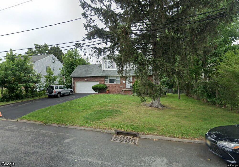
15 Grove St Bergenfield, NJ 07621
Estimated Value: $673,000 - $733,000
--
Bed
--
Bath
1,560
Sq Ft
$454/Sq Ft
Est. Value
About This Home
This home is located at 15 Grove St, Bergenfield, NJ 07621 and is currently estimated at $708,682, approximately $454 per square foot. 15 Grove St is a home located in Bergen County with nearby schools including Bergenfield High School.
Ownership History
Date
Name
Owned For
Owner Type
Purchase Details
Closed on
Nov 22, 2004
Sold by
Bernard Steve
Bought by
Ventura Jose and Ventura Carlos
Current Estimated Value
Home Financials for this Owner
Home Financials are based on the most recent Mortgage that was taken out on this home.
Original Mortgage
$396,000
Outstanding Balance
$196,299
Interest Rate
5.68%
Estimated Equity
$512,383
Purchase Details
Closed on
Mar 24, 1994
Sold by
Wildlife Fed Endowment Inc
Bought by
Bernard Carlton and Bernard Rhona
Home Financials for this Owner
Home Financials are based on the most recent Mortgage that was taken out on this home.
Original Mortgage
$144,000
Interest Rate
7.07%
Create a Home Valuation Report for This Property
The Home Valuation Report is an in-depth analysis detailing your home's value as well as a comparison with similar homes in the area
Home Values in the Area
Average Home Value in this Area
Purchase History
| Date | Buyer | Sale Price | Title Company |
|---|---|---|---|
| Ventura Jose | $440,000 | -- | |
| Bernard Carlton | $180,000 | -- |
Source: Public Records
Mortgage History
| Date | Status | Borrower | Loan Amount |
|---|---|---|---|
| Open | Ventura Jose | $396,000 | |
| Previous Owner | Bernard Carlton | $144,000 |
Source: Public Records
Tax History Compared to Growth
Tax History
| Year | Tax Paid | Tax Assessment Tax Assessment Total Assessment is a certain percentage of the fair market value that is determined by local assessors to be the total taxable value of land and additions on the property. | Land | Improvement |
|---|---|---|---|---|
| 2025 | $12,835 | $363,900 | $182,900 | $181,000 |
| 2024 | $12,409 | $363,900 | $182,900 | $181,000 |
| 2023 | $12,216 | $363,900 | $182,900 | $181,000 |
| 2022 | $12,216 | $363,900 | $182,900 | $181,000 |
| 2021 | $11,591 | $363,900 | $182,900 | $181,000 |
| 2020 | $12,009 | $363,900 | $182,900 | $181,000 |
| 2019 | $11,870 | $363,900 | $182,900 | $181,000 |
| 2018 | $11,783 | $363,900 | $182,900 | $181,000 |
| 2017 | $11,725 | $363,900 | $182,900 | $181,000 |
| 2016 | $11,539 | $363,900 | $182,900 | $181,000 |
| 2015 | $11,361 | $363,900 | $182,900 | $181,000 |
| 2014 | $11,154 | $363,900 | $182,900 | $181,000 |
Source: Public Records
Map
Nearby Homes
- 241 E Main St Unit 1D
- 241 E Main St Unit 1H
- 92 N Taylor St
- 64 Madison Ave
- 16 Palisade Ave
- 44 Bogert Place
- 305 E Main St
- 248 E Clinton Ave
- 11 Clyde Ct
- 25 Ralph St
- 309 E Clinton Ave
- 76 W Main St
- 86 W Main St
- 174 Pleasant Ave
- 18 Carlisle St
- 280 Hickory Ave
- 202 Pleasant Ave
- 210 Merritt Ave
- 9 New York Ave
- 29 Dick St