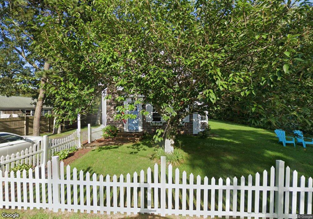
15 Hamilton Place West Harwich, MA 02671
Northwest Harwich NeighborhoodEstimated Value: $609,628 - $847,000
5
Beds
1
Bath
1,501
Sq Ft
$457/Sq Ft
Est. Value
About This Home
This home is located at 15 Hamilton Place, West Harwich, MA 02671 and is currently estimated at $685,907, approximately $456 per square foot. 15 Hamilton Place is a home located in Barnstable County with nearby schools including Harwich Elementary School, Chatham Elementary School, and Monomoy Regional Middle School.
Ownership History
Date
Name
Owned For
Owner Type
Purchase Details
Closed on
Sep 10, 2004
Sold by
Donovan Peter J and Donovan Victoria L
Bought by
Calvanese Joan and Calvanese Ralph
Current Estimated Value
Home Financials for this Owner
Home Financials are based on the most recent Mortgage that was taken out on this home.
Original Mortgage
$265,500
Outstanding Balance
$133,287
Interest Rate
6.08%
Mortgage Type
Purchase Money Mortgage
Estimated Equity
$552,620
Create a Home Valuation Report for This Property
The Home Valuation Report is an in-depth analysis detailing your home's value as well as a comparison with similar homes in the area
Home Values in the Area
Average Home Value in this Area
Purchase History
| Date | Buyer | Sale Price | Title Company |
|---|---|---|---|
| Calvanese Joan | $295,000 | -- |
Source: Public Records
Mortgage History
| Date | Status | Borrower | Loan Amount |
|---|---|---|---|
| Open | Calvanese Joan | $265,500 |
Source: Public Records
Tax History Compared to Growth
Tax History
| Year | Tax Paid | Tax Assessment Tax Assessment Total Assessment is a certain percentage of the fair market value that is determined by local assessors to be the total taxable value of land and additions on the property. | Land | Improvement |
|---|---|---|---|---|
| 2025 | $3,012 | $509,700 | $180,400 | $329,300 |
| 2024 | $2,673 | $443,300 | $170,200 | $273,100 |
| 2023 | $2,511 | $378,100 | $154,700 | $223,400 |
| 2022 | $2,495 | $307,700 | $134,600 | $173,100 |
| 2021 | $2,416 | $280,900 | $122,300 | $158,600 |
| 2020 | $2,409 | $276,000 | $121,000 | $155,000 |
| 2019 | $2,376 | $274,000 | $116,300 | $157,700 |
| 2018 | $2,313 | $255,200 | $105,700 | $149,500 |
| 2017 | $2,141 | $238,700 | $91,500 | $147,200 |
| 2016 | $2,111 | $232,800 | $91,500 | $141,300 |
| 2015 | $2,052 | $228,800 | $89,700 | $139,100 |
| 2014 | $2,006 | $228,700 | $91,600 | $137,100 |
Source: Public Records
Map
Nearby Homes
- 9 Bells Neck Rd Unit 10
- 45 Route 28
- 141 Division St
- 141 Division St
- 9 Mansion St
- 79 Massachusetts 28
- 91 Depot Rd W
- 64 Smith St
- 47 Telegraph Rd Unit 1
- 6 Bayberry Ln
- 148 Belmont Rd
- 73 Division St
- 126 Massachusetts 28
- 11 Lane Rd
- 9 Country Ln
- 161 Massachusetts 28 Unit 7
- 12 Candlewood Ln Unit 2-9
- 12 Candlewood Ln Unit 1-6
- 10 Candlewood Ln Unit 2-1
- 3 Fairbanks Dr
- 37 Pine Grove Rd
- 9 Hamilton Place
- 33 Pine Grove Rd
- 26 Depot Rd W
- 26 Depot Rd W Unit A/B
- 40 Pine Grove Rd
- 24 Wayside Dr
- 7 Hamilton Place
- 18 Depot Rd W
- 96 Wayside Dr
- 44 Pine Grove Rd
- 95 Wayside Dr
- 36 Pine Grove Rd
- 72 Wayside Dr
- 58 Wayside Dr
- 23 Wayside Dr
- 1 Hamilton Place
- 9 Hath a Way St
- 50 Wayside Dr
- 38 Depot Rd W