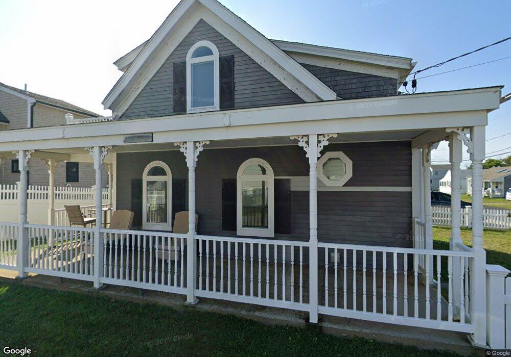
15 Hancock St Marshfield, MA 02050
Ocean Bluff-Brant Rock NeighborhoodEstimated Value: $669,000 - $882,000
2
Beds
2
Baths
1,057
Sq Ft
$734/Sq Ft
Est. Value
About This Home
This home is located at 15 Hancock St, Marshfield, MA 02050 and is currently estimated at $775,882, approximately $734 per square foot. 15 Hancock St is a home with nearby schools including Governor Edward Winslow School, Furnace Brook Middle School, and Marshfield High School.
Ownership History
Date
Name
Owned For
Owner Type
Purchase Details
Closed on
Mar 29, 2021
Sold by
Perry Ft
Bought by
Perry Helen P
Current Estimated Value
Purchase Details
Closed on
Jan 14, 2013
Sold by
Perry William J and Perry Helen P
Bought by
Perry Ft and Perry William J
Home Financials for this Owner
Home Financials are based on the most recent Mortgage that was taken out on this home.
Original Mortgage
$25,000
Interest Rate
3.36%
Create a Home Valuation Report for This Property
The Home Valuation Report is an in-depth analysis detailing your home's value as well as a comparison with similar homes in the area
Home Values in the Area
Average Home Value in this Area
Purchase History
| Date | Buyer | Sale Price | Title Company |
|---|---|---|---|
| Perry Helen P | -- | None Available | |
| Perry Ft | -- | -- |
Source: Public Records
Mortgage History
| Date | Status | Borrower | Loan Amount |
|---|---|---|---|
| Previous Owner | Perry Ft | $25,000 |
Source: Public Records
Tax History Compared to Growth
Tax History
| Year | Tax Paid | Tax Assessment Tax Assessment Total Assessment is a certain percentage of the fair market value that is determined by local assessors to be the total taxable value of land and additions on the property. | Land | Improvement |
|---|---|---|---|---|
| 2025 | $7,103 | $717,500 | $499,500 | $218,000 |
| 2024 | $6,946 | $668,500 | $475,700 | $192,800 |
| 2023 | $6,867 | $598,800 | $436,100 | $162,700 |
| 2022 | $6,867 | $530,300 | $396,400 | $133,900 |
| 2021 | $6,590 | $499,600 | $370,700 | $128,900 |
| 2020 | $6,406 | $480,600 | $356,800 | $123,800 |
| 2019 | $6,364 | $475,600 | $356,800 | $118,800 |
| 2018 | $5,881 | $439,900 | $321,100 | $118,800 |
| 2017 | $5,900 | $430,000 | $321,100 | $108,900 |
| 2016 | $5,583 | $402,200 | $297,300 | $104,900 |
| 2015 | $5,741 | $432,000 | $321,100 | $110,900 |
| 2014 | $5,603 | $421,600 | $317,200 | $104,400 |
Source: Public Records
Map
Nearby Homes
- 11 Hancock St
- 46 Ashburton Ave
- 339 Ocean St
- 29 Ashburton Ave
- 27 Ashburton Ave
- 335 Ocean St
- 39 Ashburton Ave
- 349 Ocean St
- 45 Ashburton Ave
- 23 Ashburton Ave
- 50 Ashburton Ave
- 17 Ashburton Ave
- 8 Knox St
- 31 Hancock St
- 49 Ashburton Ave
- 28 Plymouth Ave
- 15 Liversidge St
- 15 Liversidge St Unit 1
- 32 Hancock St
- 355 Ocean St