15 Heath Rd Colrain, MA 01340
Colrain NeighborhoodEstimated Value: $220,000 - $256,000
3
Beds
3
Baths
2,400
Sq Ft
$99/Sq Ft
Est. Value
About This Home
This home is located at 15 Heath Rd, Colrain, MA 01340 and is currently estimated at $238,000, approximately $99 per square foot. 15 Heath Rd is a home located in Franklin County with nearby schools including Mohawk Trail Regional High School.
Ownership History
Date
Name
Owned For
Owner Type
Purchase Details
Closed on
Jan 26, 2004
Sold by
Lively Margaret M
Bought by
Lively Rockwell J and Lively Marilyn K
Current Estimated Value
Home Financials for this Owner
Home Financials are based on the most recent Mortgage that was taken out on this home.
Original Mortgage
$25,000
Outstanding Balance
$11,774
Interest Rate
5.89%
Mortgage Type
Purchase Money Mortgage
Estimated Equity
$226,226
Create a Home Valuation Report for This Property
The Home Valuation Report is an in-depth analysis detailing your home's value as well as a comparison with similar homes in the area
Home Values in the Area
Average Home Value in this Area
Purchase History
| Date | Buyer | Sale Price | Title Company |
|---|---|---|---|
| Lively Rockwell J | $25,000 | -- |
Source: Public Records
Mortgage History
| Date | Status | Borrower | Loan Amount |
|---|---|---|---|
| Open | Lively Rockwell J | $25,000 |
Source: Public Records
Tax History
| Year | Tax Paid | Tax Assessment Tax Assessment Total Assessment is a certain percentage of the fair market value that is determined by local assessors to be the total taxable value of land and additions on the property. | Land | Improvement |
|---|---|---|---|---|
| 2025 | $2,807 | $153,700 | $31,600 | $122,100 |
| 2024 | $2,917 | $153,700 | $31,600 | $122,100 |
| 2023 | $3,017 | $153,700 | $31,600 | $122,100 |
| 2022 | $3,070 | $149,900 | $27,800 | $122,100 |
| 2021 | $3,172 | $149,900 | $27,800 | $122,100 |
| 2020 | $2,988 | $149,900 | $27,800 | $122,100 |
| 2019 | $2,970 | $144,400 | $27,800 | $116,600 |
| 2018 | $2,923 | $144,400 | $27,800 | $116,600 |
| 2017 | $2,845 | $144,400 | $27,800 | $116,600 |
| 2016 | $2,555 | $136,800 | $27,800 | $109,000 |
| 2015 | $2,475 | $136,800 | $27,800 | $109,000 |
Source: Public Records
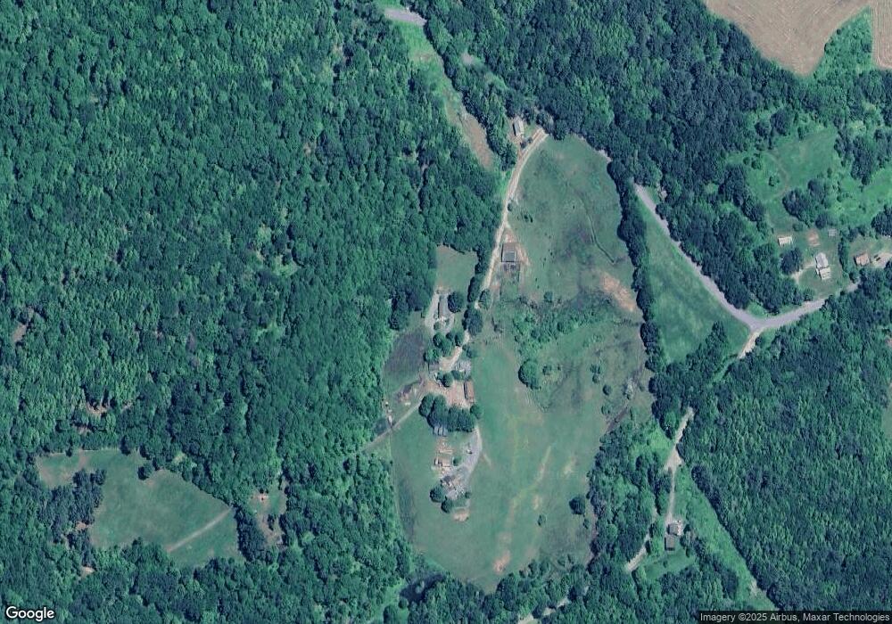
Map
Nearby Homes
- 13 Griswoldville St
- 2 Modoc Dr
- 8 Deer Run Path
- 3 Flagg Hill Rd
- 364 Jacksonville Rd
- 2155 Massachusetts 2
- 2151 Route 2
- Lot 23-25 Hawk Hill Rd
- 0 W Oxbow Rd Unit 73453651
- 0 W Oxbow Rd Unit 248444
- 14 South Rd
- 24 W Oxbow Rd
- 251 Phillips Hill Rd
- 0 Sadoga Rd Unit 73507720
- 10 Deerfield Ave Unit 2
- 829 Pennel Hill Rd
- 594 Massachusetts 8a
- 108 Colrain Shelburne Rd
- 11 Bray Rd
- 151 Smead Hill Rd
- 12 Heath Rd
- 2 Heath Rd
- 1 Heath Rd
- 182 Adamsville Rd
- 191 Adamsville Rd
- 185 Adamsville Rd
- 22 Heath Rd
- 24 Heath Rd
- 24 Heath Rd
- 21 Heath Rd
- 171 Adamsville Rd
- Parcel 4 W Leyden Rd
- Parcel 3 W Leyden Rd
- Parcel 1 W Leyden Rd
- 43 Leon Herzig Dr
- 197 Adamsville Rd
- 41 Heath Rd
- 221 Adamsville Rd
- 55 Heath Rd
- 159 Adamsville Rd
Your Personal Tour Guide
Ask me questions while you tour the home.