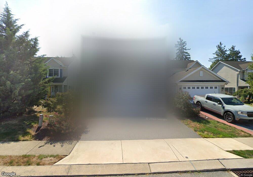
15 Hemlock Dr Marietta, PA 17547
Estimated Value: $317,000 - $401,586
3
Beds
3
Baths
2,017
Sq Ft
$174/Sq Ft
Est. Value
About This Home
This home is located at 15 Hemlock Dr, Marietta, PA 17547 and is currently estimated at $350,147, approximately $173 per square foot. 15 Hemlock Dr is a home located in Lancaster County with nearby schools including Donegal Intermediate School, Donegal High School, and Susquehanna Waldorf School.
Ownership History
Date
Name
Owned For
Owner Type
Purchase Details
Closed on
Dec 17, 2014
Bought by
Arnold Justin K
Current Estimated Value
Purchase Details
Closed on
Jul 22, 2011
Sold by
Shapiro Howard S
Bought by
Arnold Justin K and Arnold Keith M
Home Financials for this Owner
Home Financials are based on the most recent Mortgage that was taken out on this home.
Original Mortgage
$121,200
Interest Rate
4.49%
Mortgage Type
FHA
Create a Home Valuation Report for This Property
The Home Valuation Report is an in-depth analysis detailing your home's value as well as a comparison with similar homes in the area
Home Values in the Area
Average Home Value in this Area
Purchase History
| Date | Buyer | Sale Price | Title Company |
|---|---|---|---|
| Arnold Justin K | -- | -- | |
| Arnold Justin K | $150,000 | None Available |
Source: Public Records
Mortgage History
| Date | Status | Borrower | Loan Amount |
|---|---|---|---|
| Previous Owner | Arnold Justin K | $121,200 |
Source: Public Records
Tax History Compared to Growth
Tax History
| Year | Tax Paid | Tax Assessment Tax Assessment Total Assessment is a certain percentage of the fair market value that is determined by local assessors to be the total taxable value of land and additions on the property. | Land | Improvement |
|---|---|---|---|---|
| 2025 | $5,012 | $197,300 | $35,900 | $161,400 |
| 2024 | $5,012 | $197,300 | $35,900 | $161,400 |
| 2023 | $4,993 | $197,300 | $35,900 | $161,400 |
| 2022 | $4,955 | $197,300 | $35,900 | $161,400 |
| 2021 | $4,863 | $197,300 | $35,900 | $161,400 |
| 2020 | $4,863 | $197,300 | $35,900 | $161,400 |
| 2019 | $4,774 | $197,300 | $35,900 | $161,400 |
| 2018 | $3,584 | $197,300 | $35,900 | $161,400 |
| 2017 | $4,953 | $164,300 | $22,700 | $141,600 |
| 2016 | $4,953 | $164,300 | $22,700 | $141,600 |
| 2015 | $1,263 | $164,300 | $22,700 | $141,600 |
| 2014 | $3,489 | $164,300 | $22,700 | $141,600 |
Source: Public Records
Map
Nearby Homes
- 210 Sable Dr
- 106 Acanthus St
- 501 E Front St
- 28 E Front St
- 258 W Fairview Ave
- 281 W Walnut St
- 204 N Biddle St
- 118 Nicole St
- 419 Coffee Goss Rd
- 223 Coffee Goss Rd
- 219 Coffee Goss Rd
- 289 Rock Point Rd
- 286 Rock Point Rd
- 341 Sload Cir
- 113 Appaloosa Dr
- 1318 Habecker Rd
- 4580 Klinesville Rd
- 1198 Iron Bridge Rd
- 1006 Stellar Dr
- 528 Phillips Dr
- 7 Hemlock Dr
- 4 Hemlock Dr
- 202 Sable Dr
- 204 Sable Dr
- 206 Sable Dr
- 208 Sable Dr
- 212 Sable Dr
- 214 Sable Dr
- 216 Sable Dr
- 0 Basil St Unit 1004601031
- 0 Basil St Unit 152586
- 409 Shadetree Blvd
- 218 Sable Dr
- 416 Shadetree Blvd
- 407 Shadetree Blvd
- 220 Sable Dr
- 412 Shadetree Blvd
- 405 Shadetree Blvd
- 410 Shadetree Blvd
- 403 Shadetree Blvd