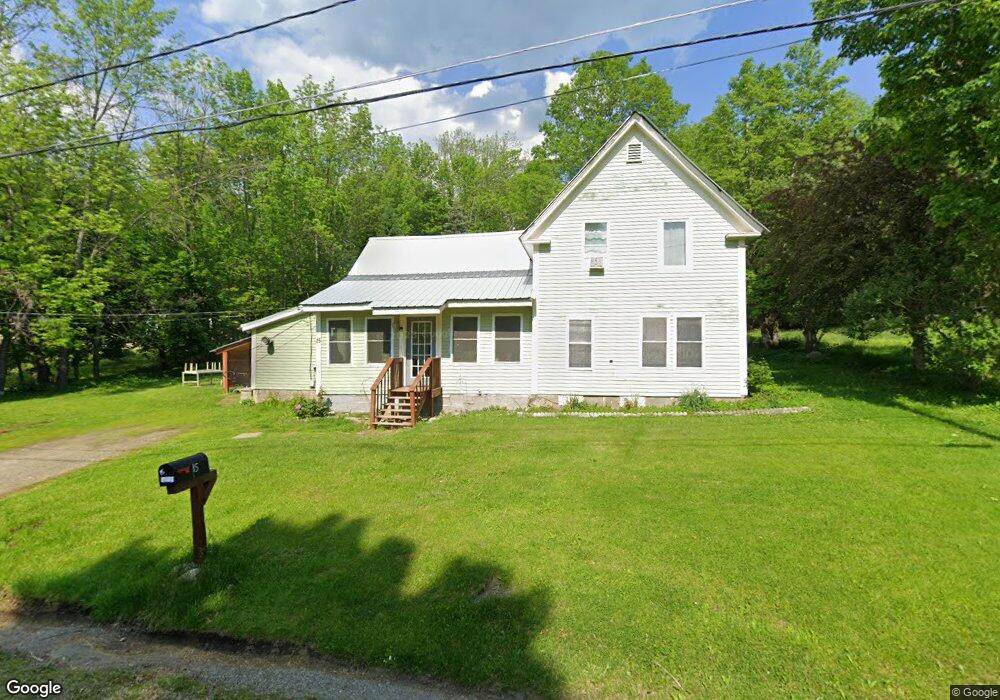
15 High St Strong, ME 04983
Estimated Value: $114,802 - $231,000
Studio
--
Bath
432
Sq Ft
$402/Sq Ft
Est. Value
About This Home
This home is located at 15 High St, Strong, ME 04983 and is currently estimated at $173,701, approximately $402 per square foot. 15 High St is a home with nearby schools including Mt. Abram Regional High School.
Ownership History
Date
Name
Owned For
Owner Type
Purchase Details
Closed on
Apr 16, 2021
Sold by
Gould Tina N
Bought by
Chilcote-Joof Elizabeth and Joof Saihou T
Current Estimated Value
Home Financials for this Owner
Home Financials are based on the most recent Mortgage that was taken out on this home.
Original Mortgage
$45,000
Outstanding Balance
$40,630
Interest Rate
3%
Mortgage Type
Purchase Money Mortgage
Estimated Equity
$133,071
Purchase Details
Closed on
Jul 9, 2015
Sold by
Chadwick Michael L and Chadwick Rose
Bought by
Gould Tina N
Home Financials for this Owner
Home Financials are based on the most recent Mortgage that was taken out on this home.
Original Mortgage
$30,000
Interest Rate
3.87%
Mortgage Type
Commercial
Create a Home Valuation Report for This Property
The Home Valuation Report is an in-depth analysis detailing your home's value as well as a comparison with similar homes in the area
Purchase History
| Date | Buyer | Sale Price | Title Company |
|---|---|---|---|
| Chilcote-Joof Elizabeth | -- | None Available | |
| Gould Tina N | -- | -- |
Source: Public Records
Mortgage History
| Date | Status | Borrower | Loan Amount |
|---|---|---|---|
| Open | Chilcote-Joof Elizabeth | $45,000 | |
| Previous Owner | Gould Tina N | $30,000 |
Source: Public Records
Tax History
| Year | Tax Paid | Tax Assessment Tax Assessment Total Assessment is a certain percentage of the fair market value that is determined by local assessors to be the total taxable value of land and additions on the property. | Land | Improvement |
|---|---|---|---|---|
| 2024 | $1,079 | $61,290 | $19,530 | $41,760 |
| 2023 | $981 | $61,290 | $19,530 | $41,760 |
| 2022 | $968 | $61,290 | $19,530 | $41,760 |
| 2021 | $1,011 | $61,290 | $19,530 | $41,760 |
| 2020 | $1,048 | $61,290 | $19,530 | $41,760 |
| 2019 | $1,091 | $61,290 | $19,530 | $41,760 |
| 2018 | $950 | $61,290 | $19,530 | $41,760 |
| 2017 | $883 | $61,290 | $19,530 | $41,760 |
| 2016 | $870 | $61,290 | $19,530 | $41,760 |
| 2015 | $901 | $61,290 | $19,530 | $41,760 |
| 2013 | $785 | $61,290 | $19,530 | $41,760 |
Source: Public Records
Map
Nearby Homes
- U03-68-C Tbd
- 16 Whitetail Dr
- 44 Norton Hill Rd
- 29 River St
- 22 W Freeman Rd
- R-5 13-A Norton Hill Rd
- 162.7 Collins Dr
- 9 Beechnut Ridge
- MR11 L35 Burbank Hill Rd
- 43 Brookside Ln
- 722 Farmington Rd
- 97 Lake St
- Lot 12 Barker Rd
- MR7 L31&37 Taylor Hill Rd
- 55 Lake St
- 152 Johnson Rd
- 4 Cousineaus Tory Hill Heights
- R6L38B New Vineyard Rd
- 372 River Rd
- 15 Spruce Rd
Your Personal Tour Guide
Ask me questions while you tour the home.