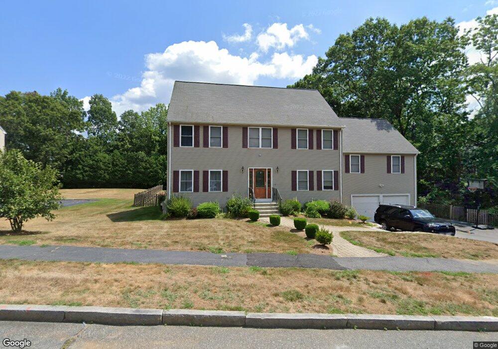
15 Holly Ln Ashland, MA 01721
Estimated Value: $1,020,974 - $1,192,000
3
Beds
4
Baths
3,416
Sq Ft
$324/Sq Ft
Est. Value
About This Home
This home is located at 15 Holly Ln, Ashland, MA 01721 and is currently estimated at $1,107,244, approximately $324 per square foot. 15 Holly Ln is a home located in Middlesex County with nearby schools including William Pittaway Elementary School, David Mindess Elementary School, and Henry E. Warren Elementary School.
Ownership History
Date
Name
Owned For
Owner Type
Purchase Details
Closed on
Aug 10, 2007
Sold by
Hale Mark A and Shukitt-Hale Barbara
Bought by
Callahan Patricia and Callahan Paul
Current Estimated Value
Home Financials for this Owner
Home Financials are based on the most recent Mortgage that was taken out on this home.
Original Mortgage
$417,000
Outstanding Balance
$264,832
Interest Rate
6.72%
Mortgage Type
Purchase Money Mortgage
Estimated Equity
$842,412
Create a Home Valuation Report for This Property
The Home Valuation Report is an in-depth analysis detailing your home's value as well as a comparison with similar homes in the area
Home Values in the Area
Average Home Value in this Area
Purchase History
| Date | Buyer | Sale Price | Title Company |
|---|---|---|---|
| Callahan Patricia | $560,000 | -- |
Source: Public Records
Mortgage History
| Date | Status | Borrower | Loan Amount |
|---|---|---|---|
| Open | Callahan Patricia | $417,000 |
Source: Public Records
Tax History Compared to Growth
Tax History
| Year | Tax Paid | Tax Assessment Tax Assessment Total Assessment is a certain percentage of the fair market value that is determined by local assessors to be the total taxable value of land and additions on the property. | Land | Improvement |
|---|---|---|---|---|
| 2025 | $11,356 | $889,300 | $268,700 | $620,600 |
| 2024 | $11,024 | $832,600 | $268,700 | $563,900 |
| 2023 | $10,060 | $730,600 | $256,200 | $474,400 |
| 2022 | $10,171 | $640,500 | $232,600 | $407,900 |
| 2021 | $9,720 | $610,200 | $232,600 | $377,600 |
| 2020 | $9,546 | $590,700 | $236,300 | $354,400 |
| 2019 | $9,281 | $570,100 | $236,300 | $333,800 |
| 2018 | $9,147 | $550,700 | $233,900 | $316,800 |
| 2017 | $9,011 | $539,600 | $235,000 | $304,600 |
| 2016 | $8,811 | $518,300 | $232,200 | $286,100 |
| 2015 | $8,778 | $507,400 | $220,800 | $286,600 |
| 2014 | $8,672 | $498,700 | $203,800 | $294,900 |
Source: Public Records
Map
Nearby Homes
- 22 Irene Cir
- 0 Cordaville Rd
- 30 Waterville Ln Unit 30
- 34 Waterville Ln Unit 34
- 36 Waterville Ln Unit 36
- 38 Waterville Ln Unit 38
- 14 Waterville Ln Unit 14
- 4 Waterville Ln Unit 4
- 0 Cross St
- 13 Birkdale Ln Unit 13
- 20 Braeburn Ln
- 71 Weston Ln Unit 71
- 43 Edgewood Rd
- 2 Aikens Rd
- 75 Wilson St
- 0 Oak St
- 20 Southville Rd
- 8 Parker St
- 23 Stonebrook Ct Unit 11
- 31 Cherry Ln Unit 31