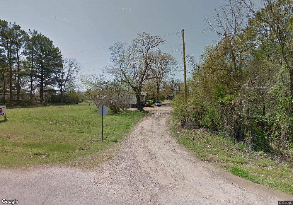
15 Hubbard Loop Morrilton, AR 72110
Estimated Value: $51,000 - $121,000
Studio
1
Bath
984
Sq Ft
$88/Sq Ft
Est. Value
About This Home
This home is located at 15 Hubbard Loop, Morrilton, AR 72110 and is currently estimated at $86,505, approximately $87 per square foot. 15 Hubbard Loop is a home located in Conway County with nearby schools including Morrilton Primary School, Morrilton Elementary School, and Morrilton Intermediate School.
Ownership History
Date
Name
Owned For
Owner Type
Purchase Details
Closed on
Apr 8, 2014
Sold by
Bobby Lee Bobby Lee
Bought by
Leach William Garland
Current Estimated Value
Purchase Details
Closed on
Apr 7, 2008
Sold by
Crowell Ronald
Bought by
Crowell Melissa
Purchase Details
Closed on
Feb 8, 1991
Bought by
Leach Melissa
Purchase Details
Closed on
Jan 1, 1984
Bought by
Hubbard Hubbard C and Hubbard M
Create a Home Valuation Report for This Property
The Home Valuation Report is an in-depth analysis detailing your home's value as well as a comparison with similar homes in the area
Home Values in the Area
Average Home Value in this Area
Purchase History
| Date | Buyer | Sale Price | Title Company |
|---|---|---|---|
| Leach William Garland | -- | -- | |
| Crowell Melissa | -- | -- | |
| Leach Melissa | -- | -- | |
| Hubbard Hubbard C | -- | -- |
Source: Public Records
Tax History
| Year | Tax Paid | Tax Assessment Tax Assessment Total Assessment is a certain percentage of the fair market value that is determined by local assessors to be the total taxable value of land and additions on the property. | Land | Improvement |
|---|---|---|---|---|
| 2025 | -- | $6,710 | $1,890 | $4,820 |
| 2024 | -- | $6,710 | $1,890 | $4,820 |
| 2023 | $0 | $6,710 | $1,890 | $4,820 |
| 2022 | $0 | $6,710 | $1,890 | $4,820 |
| 2021 | $0 | $5,420 | $1,690 | $3,730 |
| 2020 | $0 | $5,420 | $1,690 | $3,730 |
| 2019 | $0 | $5,420 | $1,690 | $3,730 |
| 2018 | $0 | $5,420 | $1,690 | $3,730 |
| 2017 | $0 | $5,420 | $1,690 | $3,730 |
| 2016 | $0 | $5,430 | $1,690 | $3,740 |
| 2015 | -- | $5,430 | $1,690 | $3,740 |
| 2014 | $243 | $5,110 | $1,690 | $3,420 |
Source: Public Records
Map
Nearby Homes
- 1003 Darter Dr
- Block 1 Lots 16 & 17
- Block 1 Lots 13 & 14
- TBD Burrow
- 00 Hwy 113
- 36 Par Ct
- 00 N Ridge Rd
- 702 N Cedar St
- 706 N Cedar St
- 309 Roosevelt Cir
- 306 N Bentley St
- 304 S Ola St
- 401 Lane St
- 116 Lane St
- 709 N Griffin St
- 209 N Griffin St
- 405 W Valley St
- 303 1/2 N West St
- 607 N Morrill St
- 709 N Morrill St
- 20 Hubbard Loop
- 5 Hubbard Loop
- 37 Hubbard
- 1854 Highway 113
- 2015 W Childress St
- 2013 W Childress St
- 2001 W Childress St
- 1911 W Childress St
- 1812 W Railroad Ave
- 1905 W Childress St
- 1000 W Church St
- 1901 W Childress St
- 1935 Highway 113
- 412 First St
- 1805 W Childress St
- 410 First St
- 406 First St
- 1801 W Childress St
- W Childress St
- 1715 W Childress St
Your Personal Tour Guide
Ask me questions while you tour the home.