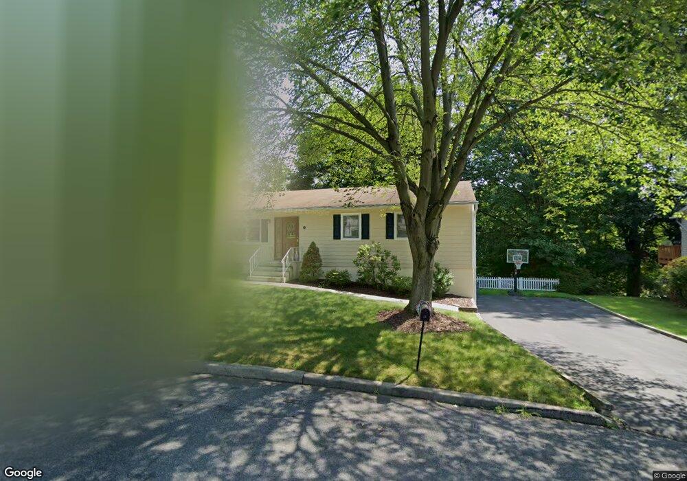
15 Hunderfund Ln Pearl River, NY 10965
Estimated Value: $588,000 - $654,000
3
Beds
2
Baths
1,260
Sq Ft
$495/Sq Ft
Est. Value
About This Home
This home is located at 15 Hunderfund Ln, Pearl River, NY 10965 and is currently estimated at $624,282, approximately $495 per square foot. 15 Hunderfund Ln is a home located in Rockland County with nearby schools including Pearl River High School and St Margaret School.
Ownership History
Date
Name
Owned For
Owner Type
Purchase Details
Closed on
Jun 2, 1998
Sold by
Mancuso Salvatore and Mancuso Nancy A
Bought by
Woods William R and Woods Mary R
Current Estimated Value
Home Financials for this Owner
Home Financials are based on the most recent Mortgage that was taken out on this home.
Original Mortgage
$181,600
Outstanding Balance
$36,330
Interest Rate
7.05%
Mortgage Type
Construction
Estimated Equity
$587,952
Create a Home Valuation Report for This Property
The Home Valuation Report is an in-depth analysis detailing your home's value as well as a comparison with similar homes in the area
Home Values in the Area
Average Home Value in this Area
Purchase History
| Date | Buyer | Sale Price | Title Company |
|---|---|---|---|
| Woods William R | $227,000 | Security Title & Guaranty Co |
Source: Public Records
Mortgage History
| Date | Status | Borrower | Loan Amount |
|---|---|---|---|
| Open | Woods William R | $181,600 |
Source: Public Records
Tax History Compared to Growth
Tax History
| Year | Tax Paid | Tax Assessment Tax Assessment Total Assessment is a certain percentage of the fair market value that is determined by local assessors to be the total taxable value of land and additions on the property. | Land | Improvement |
|---|---|---|---|---|
| 2024 | $13,468 | $170,000 | $56,100 | $113,900 |
| 2023 | $13,468 | $170,000 | $56,100 | $113,900 |
| 2022 | $11,386 | $170,000 | $56,100 | $113,900 |
| 2021 | $11,386 | $170,000 | $56,100 | $113,900 |
| 2020 | $10,726 | $170,000 | $56,100 | $113,900 |
| 2019 | $3,966 | $170,000 | $56,100 | $113,900 |
| 2018 | $10,138 | $170,000 | $56,100 | $113,900 |
| 2017 | $9,780 | $170,000 | $56,100 | $113,900 |
| 2016 | $9,473 | $170,000 | $56,100 | $113,900 |
| 2015 | -- | $170,000 | $56,100 | $113,900 |
| 2014 | -- | $170,000 | $56,100 | $113,900 |
Source: Public Records
Map
Nearby Homes
- 191 W Crooked Hill Rd
- 286 Railroad Ave
- 146 N Lincoln St
- 39 Graney Ct
- 24 Moore Ave
- 85 Lieutenant Cox Dr
- 26 E George Ave
- 74 Lincoln Ave
- 217 W Washington Ave
- 195 W Central Ave
- 96 Old Pascack Rd
- 71 E Washington Ave
- 1 Martha Ln
- 33 Chestnut St
- 86 Braunsdorf Rd
- 30 Paul Ct
- 99 E Washington Ave
- 15 Highland Ave
- 854 E Crooked Hill Rd Unit 854
- 221 N Middletown Rd Unit F
- 3 Hunderfund Ln
- 23 Hunderfund Ln
- 12 Hunderfund Ln
- 22 Hunderfund Ln
- 33 Hunderfund Ln
- 160 W Crooked Hill Rd
- 150 W Crooked Hill Rd
- 2 Hunderfund Ln
- 32 Hunderfund Ln
- 134 W Crooked Hill Rd
- 122 W Crooked Hill Rd
- 139 Hansen Ave
- 180 W Crooked Hill Rd
- 120 W Crooked Hill Rd
- 147 Hansen Ave
- 268 N Lincoln St
- 131 Hansen Ave
- 159 Hansen Ave
- 157 W Crooked Hill Rd
- 124 W Crooked Hill Rd