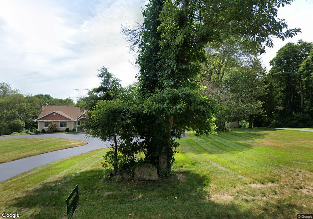
15 Hunts Brook Rd Quaker Hill, CT 06375
Estimated Value: $516,000 - $769,000
5
Beds
3
Baths
3,538
Sq Ft
$180/Sq Ft
Est. Value
About This Home
This home is located at 15 Hunts Brook Rd, Quaker Hill, CT 06375 and is currently estimated at $635,814, approximately $179 per square foot. 15 Hunts Brook Rd is a home located in New London County with nearby schools including Clark Lane Middle School, Waterford High School, and Waterford Country School.
Ownership History
Date
Name
Owned For
Owner Type
Purchase Details
Closed on
Nov 2, 2007
Sold by
Rtt Development Inc
Bought by
Elliott William D and Elliott Grace
Current Estimated Value
Home Financials for this Owner
Home Financials are based on the most recent Mortgage that was taken out on this home.
Original Mortgage
$264,000
Interest Rate
6.43%
Mortgage Type
Purchase Money Mortgage
Purchase Details
Closed on
Jun 22, 2006
Sold by
Onuparik John and Onuparik Stephen
Bought by
Rtt Dev
Create a Home Valuation Report for This Property
The Home Valuation Report is an in-depth analysis detailing your home's value as well as a comparison with similar homes in the area
Home Values in the Area
Average Home Value in this Area
Purchase History
| Date | Buyer | Sale Price | Title Company |
|---|---|---|---|
| Elliott William D | $330,000 | -- | |
| Rtt Dev | $290,000 | -- |
Source: Public Records
Mortgage History
| Date | Status | Borrower | Loan Amount |
|---|---|---|---|
| Open | Rtt Dev | $386,000 | |
| Closed | Rtt Dev | $264,000 |
Source: Public Records
Tax History Compared to Growth
Tax History
| Year | Tax Paid | Tax Assessment Tax Assessment Total Assessment is a certain percentage of the fair market value that is determined by local assessors to be the total taxable value of land and additions on the property. | Land | Improvement |
|---|---|---|---|---|
| 2025 | $9,055 | $387,640 | $90,080 | $297,560 |
| 2024 | $8,644 | $387,640 | $90,080 | $297,560 |
| 2023 | $8,218 | $387,640 | $90,080 | $297,560 |
| 2022 | $7,623 | $276,590 | $55,990 | $220,600 |
| 2021 | $7,645 | $276,590 | $55,990 | $220,600 |
| 2020 | $7,709 | $276,590 | $55,990 | $220,600 |
| 2019 | $7,739 | $276,590 | $55,990 | $220,600 |
| 2018 | $7,584 | $276,590 | $55,990 | $220,600 |
| 2017 | $7,658 | $283,310 | $62,710 | $220,600 |
| 2016 | $7,587 | $283,310 | $62,710 | $220,600 |
| 2015 | $7,318 | $283,310 | $62,710 | $220,600 |
| 2014 | $7,026 | $283,310 | $62,710 | $220,600 |
Source: Public Records
Map
Nearby Homes
- 7 White Oak Ln
- 50 Douglas Ln
- 62 Douglas Ln
- 1067 Hartford Turnpike
- 181 Oil Mill Rd
- 132 Turner Rd
- 31 Old Colchester Rd
- 114 Bloomingdale Rd
- 10 Hillcrest Dr
- 5 Mountain Laurel Ridge
- 2 Mountain Laurel Ridge
- 100 Cross Rd
- 465 Gay Hill Rd
- 84 Ridge Hill Rd
- 3 Milton Rd
- 19 Wyndwood Rd
- 77 Foster Rd
- 505 Old Colchester Rd
- 1 Chapman Ave
- 205 Butlertown Rd
- 9 Hunts Brook Rd
- 14 Hunts Brook Rd
- 5 Hunts Brook Rd
- 13 Hunts Brook Rd
- 893 Vauxhall Street Extension
- 901 Vauxhall Street Extension
- 907 Vauxhall Street Extension
- 3 Hunts Brook Rd
- 20 Hunts Brook Rd
- 895 Vauxhall Street Extension
- 891 Vauxhall Street Extension
- 11 Hunts Brook Rd
- 26 Hunts Brook Rd
- 915 Vauxhall Street Extension
- 885 Vauxhall Street Extension
- 885 Vauxhall Street Extension
- 892 Vauxhall Street Extension
- 900 Vauxhall Street Extension
- 30 Hunts Brook Rd
- 888 Vauxhall Street Extension