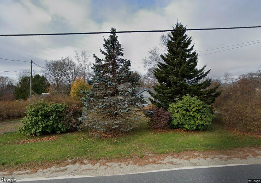
15 Intervale Rd Harpswell, ME 04079
Harpswell Neck NeighborhoodEstimated Value: $452,742 - $612,000
2
Beds
2
Baths
1,508
Sq Ft
$338/Sq Ft
Est. Value
About This Home
This home is located at 15 Intervale Rd, Harpswell, ME 04079 and is currently estimated at $509,936, approximately $338 per square foot. 15 Intervale Rd is a home located in Cumberland County with nearby schools including Mt Ararat High School.
Ownership History
Date
Name
Owned For
Owner Type
Purchase Details
Closed on
Oct 2, 2008
Sold by
Mathieu Aurelie P and Mathieu Douglas T
Bought by
Greenfield Paul W and Greenfield Louise A
Current Estimated Value
Home Financials for this Owner
Home Financials are based on the most recent Mortgage that was taken out on this home.
Original Mortgage
$116,000
Interest Rate
6.54%
Mortgage Type
Unknown
Create a Home Valuation Report for This Property
The Home Valuation Report is an in-depth analysis detailing your home's value as well as a comparison with similar homes in the area
Home Values in the Area
Average Home Value in this Area
Purchase History
| Date | Buyer | Sale Price | Title Company |
|---|---|---|---|
| Greenfield Paul W | -- | -- |
Source: Public Records
Mortgage History
| Date | Status | Borrower | Loan Amount |
|---|---|---|---|
| Open | Greenfield Paul W | $125,000 | |
| Closed | Greenfield Paul W | $116,000 | |
| Previous Owner | Greenfield Paul W | $60,000 |
Source: Public Records
Tax History
| Year | Tax Paid | Tax Assessment Tax Assessment Total Assessment is a certain percentage of the fair market value that is determined by local assessors to be the total taxable value of land and additions on the property. | Land | Improvement |
|---|---|---|---|---|
| 2024 | $1,504 | $236,500 | $104,600 | $131,900 |
| 2023 | $1,443 | $236,500 | $104,600 | $131,900 |
| 2022 | $1,395 | $236,500 | $104,600 | $131,900 |
| 2021 | $1,442 | $213,300 | $104,000 | $109,300 |
| 2020 | $1,438 | $213,300 | $104,000 | $109,300 |
| 2019 | $1,429 | $213,300 | $104,000 | $109,300 |
| 2018 | $1,382 | $213,300 | $104,000 | $109,300 |
| 2017 | $1,378 | $213,300 | $104,000 | $109,300 |
| 2016 | $1,365 | $213,300 | $104,000 | $109,300 |
| 2015 | $1,331 | $213,300 | $104,000 | $109,300 |
| 2013 | $1,233 | $213,300 | $104,000 | $109,300 |
Source: Public Records
Map
Nearby Homes
- 18 Ash Point Rd
- 31 Goose Ledge Rd
- 19 Hugh Ave
- 87 Lowells Cove Rd
- 1 Mallard Pond Rd
- 0 Bayview Rd Unit 2 1632776
- Lot 2B Allen Point Rd
- lot C Long Point Rd
- 83 Central Ave
- 58 Maquoit Dr
- 70 Maquoit Dr
- 30 Driftwood Tide Ln
- 46 Blackstone Club Rd
- Map 80 Lot 18-0 White Island
- 275 Littlejohn Rd
- 7 Shearwater Way
- 10 Lower Flying Point Rd
- 853 Mere Point Rd
- 51 Oakland Ave
- 52 Birch Point Rd
- 13 Intervale Rd
- 19 Intervale Rd
- 6 Intervale Ct
- 14 Intervale Ct
- 5 Intervale Rd
- 9 Intervale Ct
- 25 Intervale Rd
- 25 Intervale Rd Unit 27
- 27 Intervale Rd
- 1757 Harpswell Neck Rd
- 0 Glenridge Rd
- 29 Intervale Rd
- 1751 Harpswell Neck Rd
- 848 Intervale Rd
- Lot 3 Glenridge Rd
- 3 Glenridge
- 28 Little Bird Ln
- 15 Merriconeag Ln
- Shore Bailey Island
- 0 Intervale Rd
Your Personal Tour Guide
Ask me questions while you tour the home.