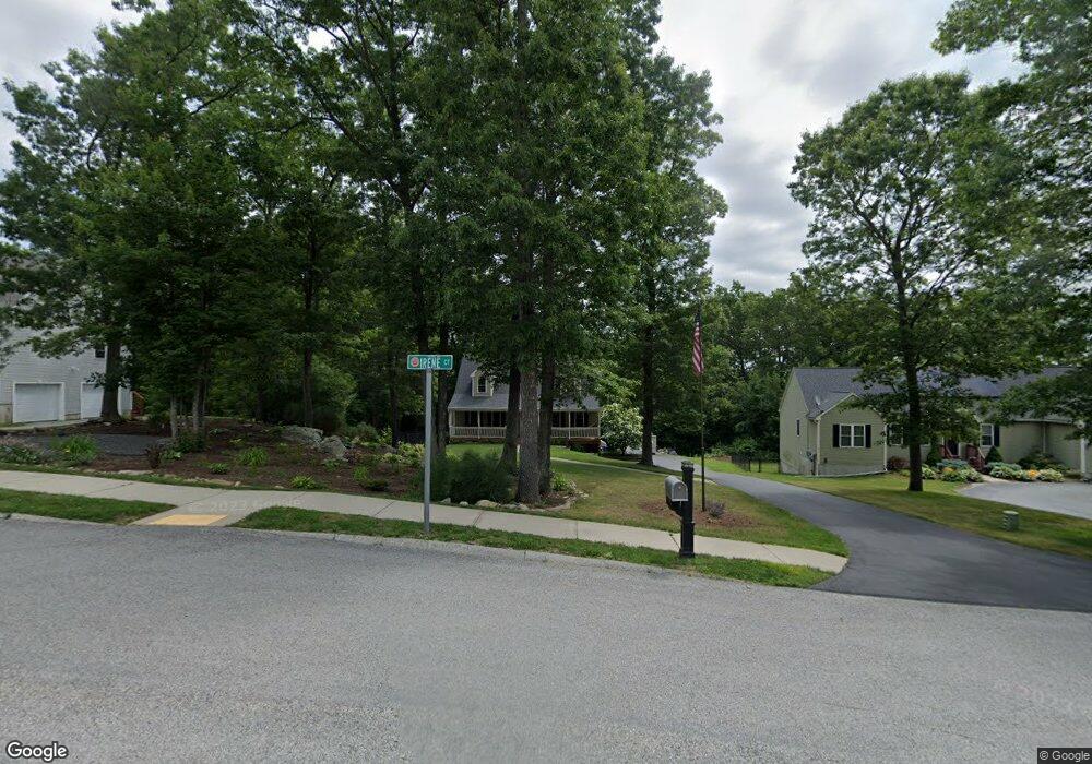
15 Irene Ct Millbury, MA 01527
Estimated Value: $590,000 - $682,000
4
Beds
3
Baths
1,960
Sq Ft
$327/Sq Ft
Est. Value
About This Home
This home is located at 15 Irene Ct, Millbury, MA 01527 and is currently estimated at $641,154, approximately $327 per square foot. 15 Irene Ct is a home with nearby schools including Elmwood Street Elementary School, Raymond E. Shaw Elementary School, and Millbury Junior/Senior High School.
Ownership History
Date
Name
Owned For
Owner Type
Purchase Details
Closed on
Nov 18, 2010
Sold by
Tpr Homes Llc
Bought by
Corkery Michael J and Corkery Laurie H
Current Estimated Value
Home Financials for this Owner
Home Financials are based on the most recent Mortgage that was taken out on this home.
Original Mortgage
$170,000
Outstanding Balance
$112,335
Interest Rate
4.3%
Mortgage Type
Purchase Money Mortgage
Estimated Equity
$528,819
Create a Home Valuation Report for This Property
The Home Valuation Report is an in-depth analysis detailing your home's value as well as a comparison with similar homes in the area
Home Values in the Area
Average Home Value in this Area
Purchase History
| Date | Buyer | Sale Price | Title Company |
|---|---|---|---|
| Corkery Michael J | $350,320 | -- | |
| Corkery Michael J | $350,320 | -- |
Source: Public Records
Mortgage History
| Date | Status | Borrower | Loan Amount |
|---|---|---|---|
| Open | Corkery Michael J | $170,000 | |
| Closed | Corkery Michael J | $170,000 |
Source: Public Records
Tax History Compared to Growth
Tax History
| Year | Tax Paid | Tax Assessment Tax Assessment Total Assessment is a certain percentage of the fair market value that is determined by local assessors to be the total taxable value of land and additions on the property. | Land | Improvement |
|---|---|---|---|---|
| 2025 | $7,248 | $541,300 | $117,700 | $423,600 |
| 2024 | $6,661 | $503,500 | $109,000 | $394,500 |
| 2023 | $6,046 | $418,400 | $76,500 | $341,900 |
| 2022 | $5,864 | $390,900 | $76,500 | $314,400 |
| 2021 | $39 | $370,800 | $76,500 | $294,300 |
| 2020 | $5,531 | $360,800 | $76,500 | $284,300 |
| 2019 | $6,177 | $389,700 | $76,100 | $313,600 |
| 2018 | $42 | $369,200 | $76,100 | $293,100 |
| 2017 | $5,346 | $325,400 | $79,400 | $246,000 |
| 2016 | $5,662 | $344,000 | $79,400 | $264,600 |
| 2015 | $5,636 | $342,400 | $84,400 | $258,000 |
| 2014 | $5,378 | $314,500 | $84,400 | $230,100 |
Source: Public Records
Map
Nearby Homes
- 12 Irene Ct
- 11 Westview Ave
- 86 Wheelock Ave
- 2 Diane St
- 3 May St
- 1 Pineland Ave
- 1 Broadmeadow Ave
- 27 A-B Grafton St
- 11 Maplewood Rd
- 3 Stidsen Way
- 330 Millbury Ave
- 232 Weatherstone Dr
- 76 Weatherstone Dr
- 90 Macarthur Dr
- 497 Massasoit Rd
- 12 Alstead Path
- 1203 Grafton St Unit 38
- 1201 Grafton St Unit 73
- 1195 Grafton St Unit 3
- 1199 Grafton St Unit 93