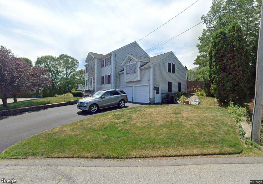
15 Ireson St Saugus, MA 01906
Lynnhurst NeighborhoodEstimated Value: $848,000 - $1,098,000
4
Beds
3
Baths
2,748
Sq Ft
$344/Sq Ft
Est. Value
About This Home
This home is located at 15 Ireson St, Saugus, MA 01906 and is currently estimated at $944,281, approximately $343 per square foot. 15 Ireson St is a home located in Essex County with nearby schools including Saugus High School, Pioneer Charter School Of Science II, and Sacred Heart School.
Ownership History
Date
Name
Owned For
Owner Type
Purchase Details
Closed on
May 6, 1997
Sold by
Building Block Rt and Schiavone Silvestro S
Bought by
Khoulani Hakim and Khoulani Maryann
Current Estimated Value
Home Financials for this Owner
Home Financials are based on the most recent Mortgage that was taken out on this home.
Original Mortgage
$178,000
Outstanding Balance
$24,064
Interest Rate
7.85%
Mortgage Type
Purchase Money Mortgage
Estimated Equity
$920,217
Create a Home Valuation Report for This Property
The Home Valuation Report is an in-depth analysis detailing your home's value as well as a comparison with similar homes in the area
Home Values in the Area
Average Home Value in this Area
Purchase History
| Date | Buyer | Sale Price | Title Company |
|---|---|---|---|
| Khoulani Hakim | $100,000 | -- |
Source: Public Records
Mortgage History
| Date | Status | Borrower | Loan Amount |
|---|---|---|---|
| Open | Khoulani Hakim | $178,000 |
Source: Public Records
Tax History Compared to Growth
Tax History
| Year | Tax Paid | Tax Assessment Tax Assessment Total Assessment is a certain percentage of the fair market value that is determined by local assessors to be the total taxable value of land and additions on the property. | Land | Improvement |
|---|---|---|---|---|
| 2025 | $9,032 | $845,700 | $336,400 | $509,300 |
| 2024 | $8,810 | $827,200 | $327,300 | $499,900 |
| 2023 | $8,522 | $756,800 | $286,400 | $470,400 |
| 2022 | $8,397 | $699,200 | $266,400 | $432,800 |
| 2021 | $8,067 | $653,700 | $220,900 | $432,800 |
| 2020 | $7,564 | $634,600 | $210,000 | $424,600 |
| 2019 | $7,337 | $602,400 | $200,000 | $402,400 |
| 2018 | $6,796 | $586,900 | $190,900 | $396,000 |
| 2017 | $6,632 | $550,400 | $181,900 | $368,500 |
| 2016 | $6,134 | $502,800 | $172,600 | $330,200 |
| 2015 | $5,758 | $479,000 | $164,500 | $314,500 |
| 2014 | $5,286 | $455,300 | $164,500 | $290,800 |
Source: Public Records
Map
Nearby Homes
- 4 Oneil Way
- 771 Boston St
- 29 Fenton Ave
- 62 Chestnut St Unit 4
- 62 Chestnut St Unit 2
- 725 Boston St
- 5 Stanley Terrace
- 36 Jasper St
- 25 Auburn St
- 35 Curran Rd
- 24 Ballard St
- 22 Laconia Ave
- 110 Holyoke St
- 9 Spencer Ave
- 32 Birch Brook Rd Unit 27
- 32 Birch Brook Rd Unit 16
- 32 Birch Brook Rd Unit 1
- 32 Birch Brook Rd Unit 25
- 32 Birch Brook Rd Unit 22
- 32 Birch Brook Rd Unit 28
- 14 Ireson St
- 17 Ireson St
- 13 Ireson St
- 6 Vintage Dr
- 16 Ireson St
- 12 Ireson St
- 18 Ireson St
- 5 Vintage Dr
- 4 Vintage Dr
- 812 Reynolds Dr
- 804 Reynolds Dr
- 802 Reynolds Dr
- 812 Reynolds Dr Unit 812
- 804 Reynolds Dr Unit 804-1
- 812 Reynolds Dr Unit HILL CREST
- 804 Reynolds Dr Unit 804
- 802 Reynolds Dr Unit 802
- 810 Reynolds Dr
- 807 Reynolds Dr
- 806 Reynolds Dr