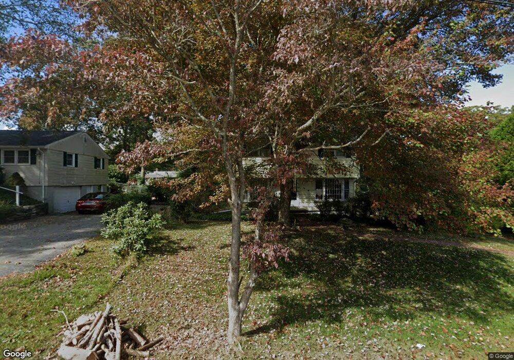
15 Jacop Dr Uncasville, CT 06382
Estimated Value: $337,679 - $381,000
4
Beds
2
Baths
1,380
Sq Ft
$256/Sq Ft
Est. Value
About This Home
This home is located at 15 Jacop Dr, Uncasville, CT 06382 and is currently estimated at $353,420, approximately $256 per square foot. 15 Jacop Dr is a home located in New London County with nearby schools including Leonard J. Tyl Middle School, Montville High School, and Mayflower Montessori School.
Ownership History
Date
Name
Owned For
Owner Type
Purchase Details
Closed on
Jun 28, 2012
Sold by
Sherbanee Charley J
Bought by
Sherbanee Angela D
Current Estimated Value
Purchase Details
Closed on
Aug 1, 2001
Sold by
Moir Jay and Moir Tracy
Bought by
Sherbanee Charley and Sherbanee Angela
Purchase Details
Closed on
May 30, 1996
Sold by
Pflug Dennis L and Pflug Rita
Bought by
Moir Jay A and Moir Tracy L
Create a Home Valuation Report for This Property
The Home Valuation Report is an in-depth analysis detailing your home's value as well as a comparison with similar homes in the area
Home Values in the Area
Average Home Value in this Area
Purchase History
| Date | Buyer | Sale Price | Title Company |
|---|---|---|---|
| Sherbanee Angela D | -- | -- | |
| Sherbanee Angela D | -- | -- | |
| Sherbanee Charley | $148,000 | -- | |
| Sherbanee Charley | $148,000 | -- | |
| Moir Jay A | $113,000 | -- | |
| Moir Jay A | $113,000 | -- |
Source: Public Records
Mortgage History
| Date | Status | Borrower | Loan Amount |
|---|---|---|---|
| Previous Owner | Moir Jay A | $26,320 | |
| Previous Owner | Moir Jay A | $203,000 |
Source: Public Records
Tax History
| Year | Tax Paid | Tax Assessment Tax Assessment Total Assessment is a certain percentage of the fair market value that is determined by local assessors to be the total taxable value of land and additions on the property. | Land | Improvement |
|---|---|---|---|---|
| 2025 | $3,603 | $124,810 | $30,870 | $93,940 |
| 2024 | $3,466 | $124,810 | $30,870 | $93,940 |
| 2023 | $3,466 | $124,810 | $30,870 | $93,940 |
| 2022 | $3,334 | $124,810 | $30,870 | $93,940 |
| 2021 | $3,412 | $107,450 | $30,500 | $76,950 |
| 2020 | $3,479 | $107,450 | $30,500 | $76,950 |
| 2019 | $3,493 | $107,450 | $30,500 | $76,950 |
| 2018 | $3,409 | $107,450 | $30,510 | $76,940 |
| 2017 | $3,406 | $107,450 | $30,510 | $76,940 |
| 2016 | $3,372 | $110,150 | $38,200 | $71,950 |
| 2015 | $3,372 | $110,150 | $38,200 | $71,950 |
| 2014 | $3,235 | $110,150 | $38,200 | $71,950 |
Source: Public Records
Map
Nearby Homes
- 51 Dydo Dr
- 15 Park Avenue Extension
- 4 Millaras Dr
- 87 Fort Shantok Rd
- 61 Fort Shantok Rd
- 6 Riched Ln
- 24 Porach Rd
- 15 Pollys Ln
- 107 Woodland Dr Unit B
- 32 Cedar Ln
- 165 Massapeag Rd
- 12 Frances St
- 3 Holdsworth Rd
- 167 Fitch Hill Rd
- 1918 Route 12
- 4 N Glenwoods Rd
- 0 Clarks Falls Unit 24089817
- 10 Buttercup Ln
- 168 Kitemaug Rd
- 66 Lucas Park Rd
Your Personal Tour Guide
Ask me questions while you tour the home.