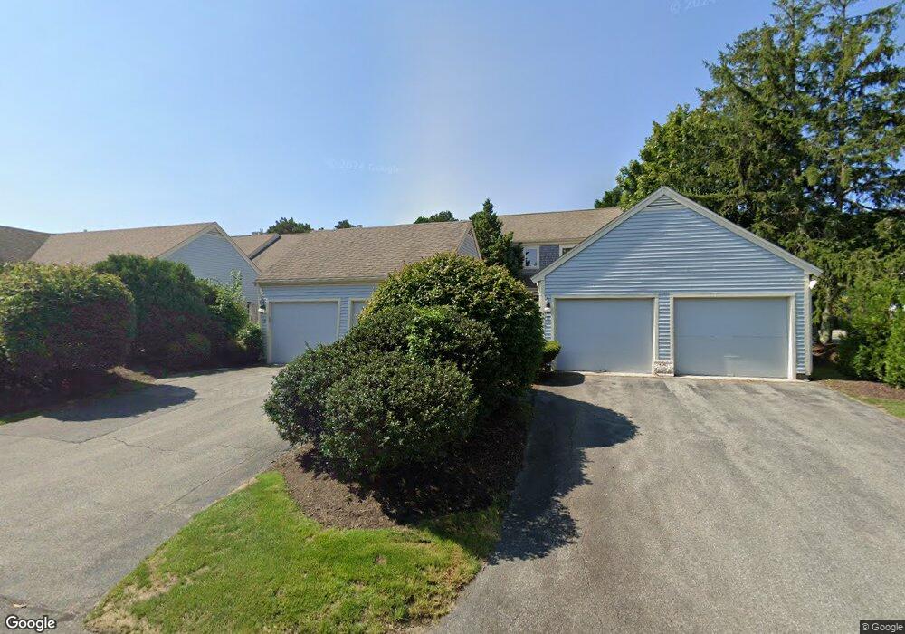
15 John Hall Cartway Yarmouth Port, MA 02675
Yarmouth Port NeighborhoodEstimated Value: $522,831 - $664,000
2
Beds
3
Baths
1,154
Sq Ft
$520/Sq Ft
Est. Value
About This Home
This home is located at 15 John Hall Cartway, Yarmouth Port, MA 02675 and is currently estimated at $600,458, approximately $520 per square foot. 15 John Hall Cartway is a home located in Barnstable County with nearby schools including Dennis-Yarmouth Regional High School.
Ownership History
Date
Name
Owned For
Owner Type
Purchase Details
Closed on
Nov 30, 2020
Sold by
Lonkart Robert S and Lonkart Georgia F
Bought by
Lonkart Georgia F and Lonkart Robert S
Current Estimated Value
Purchase Details
Closed on
Nov 8, 1999
Sold by
Toomey Beatrice M
Bought by
Mccartney John E
Purchase Details
Closed on
May 31, 1990
Sold by
The Green Co Inc
Bought by
Toomey Beatrice M
Create a Home Valuation Report for This Property
The Home Valuation Report is an in-depth analysis detailing your home's value as well as a comparison with similar homes in the area
Home Values in the Area
Average Home Value in this Area
Purchase History
| Date | Buyer | Sale Price | Title Company |
|---|---|---|---|
| Lonkart Georgia F | -- | None Available | |
| Mccartney John E | $215,000 | -- | |
| Mccartney John E | $215,000 | -- | |
| Toomey Beatrice M | $189,000 | -- |
Source: Public Records
Tax History Compared to Growth
Tax History
| Year | Tax Paid | Tax Assessment Tax Assessment Total Assessment is a certain percentage of the fair market value that is determined by local assessors to be the total taxable value of land and additions on the property. | Land | Improvement |
|---|---|---|---|---|
| 2025 | $3,351 | $473,300 | $0 | $473,300 |
| 2024 | $3,463 | $469,300 | $0 | $469,300 |
| 2023 | $3,367 | $415,200 | $0 | $415,200 |
| 2022 | $3,286 | $358,000 | $0 | $358,000 |
| 2021 | $3,195 | $334,200 | $0 | $334,200 |
| 2020 | $3,224 | $322,400 | $0 | $322,400 |
| 2019 | $3,021 | $299,100 | $0 | $299,100 |
| 2018 | $3,078 | $299,100 | $0 | $299,100 |
| 2017 | $2,764 | $275,800 | $0 | $275,800 |
| 2016 | $2,636 | $264,100 | $0 | $264,100 |
| 2015 | $2,704 | $269,300 | $0 | $269,300 |
Source: Public Records
Map
Nearby Homes
- 50 John Hall Cartway
- 50 John Hall Cartway Unit 50
- 42 John Hall Cartway Unit 42
- 228 Kates Path
- 64 Kates Path
- 17 Kates Path Unit A
- 34 Kates Path
- 34 Kates Path Unit 34
- 7 Forest Gate Unit 7
- 30 W Woods
- 30 W Woods Cir Unit 30
- 43 Canterbury Rd
- 44 Stratford Ln
- 25 Oak Glen Village Unit 25
- 25 Oak Glen
- 2 Pine Grove
- 51 Bray Farm Rd N
- 86 Pompano Rd
- 59 Main St Unit 19-2
- 59 Route 6a Unit 29-4
- 17 John Hall Cartway
- 13 John Hall Cartway
- 11 John Hall Cartway
- 9 John Hall Cartway
- 7 John Hall Cartway
- 15 John Hall Cartway Unit 15
- 15 John Hall Carway
- 17 John Hall Cartway Unit H
- 9 John Hall Cartway Unit A
- 11 John Hall Cartway Unit 11
- 17 John Hall Cartway Unit 17
- 15 John Hall Cartway Unit A
- 13 John Hall Cartway Unit A
- 11 John Hall Cartway Unit ''A''
- 17 John Hall Cartway Unit H
- 7 John Hall Cartway Unit 7
- 7 John Hall Cartway Unit H
- 9 John Hall Cartway Unit A
- 29 John Hall Cartway
- 27 John Hall Cartway