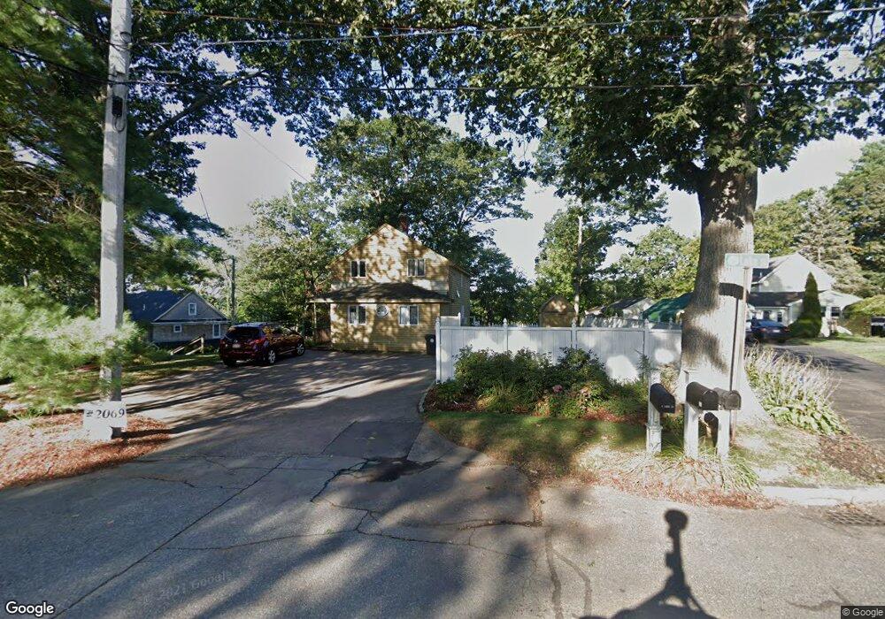
15 Jones St Wrentham, MA 02093
Estimated Value: $456,000 - $569,833
1
Bed
2
Baths
751
Sq Ft
$664/Sq Ft
Est. Value
About This Home
This home is located at 15 Jones St, Wrentham, MA 02093 and is currently estimated at $498,458, approximately $663 per square foot. 15 Jones St is a home located in Norfolk County with nearby schools including Delaney Elementary School and Charles E Roderick.
Ownership History
Date
Name
Owned For
Owner Type
Purchase Details
Closed on
Oct 18, 2018
Sold by
Glass Michael J and Glass Diane R
Bought by
Glass Andrew D
Current Estimated Value
Purchase Details
Closed on
Aug 23, 2017
Sold by
15 Jones Street Rt
Bought by
Glass Michael J and Glass Diane R
Purchase Details
Closed on
Aug 2, 2011
Sold by
Sabatini Richard P
Bought by
15 Jones Street Rt and Sabatini
Purchase Details
Closed on
Jun 20, 2007
Sold by
Sabatini Barbara A
Bought by
Sabatini Richard P
Purchase Details
Closed on
Jul 5, 1988
Sold by
Shaw Thomas A
Bought by
Sabatini Barbara A
Create a Home Valuation Report for This Property
The Home Valuation Report is an in-depth analysis detailing your home's value as well as a comparison with similar homes in the area
Home Values in the Area
Average Home Value in this Area
Purchase History
| Date | Buyer | Sale Price | Title Company |
|---|---|---|---|
| Glass Andrew D | $285,000 | -- | |
| Glass Andrew D | $285,000 | -- | |
| Glass Michael J | $285,000 | -- | |
| 15 Jones Street Rt | -- | -- | |
| 15 Jones Street Rt | -- | -- | |
| Sabatini Richard P | -- | -- | |
| Sabatini Richard P | -- | -- | |
| Sabatini Barbara A | $126,500 | -- |
Source: Public Records
Mortgage History
| Date | Status | Borrower | Loan Amount |
|---|---|---|---|
| Closed | Sabatini Barbara A | $0 |
Source: Public Records
Tax History Compared to Growth
Tax History
| Year | Tax Paid | Tax Assessment Tax Assessment Total Assessment is a certain percentage of the fair market value that is determined by local assessors to be the total taxable value of land and additions on the property. | Land | Improvement |
|---|---|---|---|---|
| 2025 | $5,943 | $512,800 | $388,800 | $124,000 |
| 2024 | $4,698 | $391,500 | $340,200 | $51,300 |
| 2023 | $4,396 | $348,300 | $309,300 | $39,000 |
| 2022 | $4,183 | $306,000 | $274,500 | $31,500 |
| 2021 | $3,844 | $273,200 | $243,700 | $29,500 |
| 2020 | $4,388 | $307,900 | $265,700 | $42,200 |
| 2019 | $4,637 | $328,400 | $286,200 | $42,200 |
| 2018 | $4,050 | $284,400 | $229,200 | $55,200 |
| 2017 | $3,912 | $274,500 | $224,800 | $49,700 |
| 2016 | $5,985 | $419,100 | $370,300 | $48,800 |
| 2015 | $3,501 | $233,700 | $190,700 | $43,000 |
| 2014 | $3,443 | $224,900 | $183,400 | $41,500 |
Source: Public Records
Map
Nearby Homes
- 131 Creek St Unit 7
- 10 Nature View Dr
- 15 Nature View Dr
- 570 Franklin St
- 11 Earle Stewart Ln
- Lot 3 - 14 Earle Stewart Ln
- Lot 1 - Blueberry 2 Car Plan at King Philip Estates
- Lot 8 - Blueberry 2 Car Plan at King Philip Estates
- Lot 5 - Hughes 2 car Plan at King Philip Estates
- Lot 6 - Blueberry 3 Car Plan at King Philip Estates
- Lot 2 - Camden 2 Car Plan at King Philip Estates
- Lot 7 - Cedar Plan at King Philip Estates
- Lot 4 - Hemingway 2 Car Plan at King Philip Estates
- Lot 3 - Blueberry 2 Car Plan at King Philip Estates
- 270 Dedham St
- 1 Lorraine Metcalf Dr
- 319 Taunton St
- 362 East St
- 50 Reed Fulton Ave Unit Lot 61
- 246 Forest Grove Ave
- 25 Jones St
- 35 Jones St
- 5 Jones St
- 45 Jones St
- 65 Jones St
- 165 Lakeside Ave
- 150 Lakeside Ave
- 148 Lakeside Ave
- 75 Jones St
- 146 Lakeside Ave
- 163 Lakeside Ave
- 125 Caesar Chelor Dr
- 144 Lakeside Ave
- 5 Lake St
- 149 Lakeside Ave
- 149 Lakeside Ave Unit 1
- 153 Lakeside Ave
- 142 Lakeside Ave
- 9 Lake St
- 151 Lakeside Ave