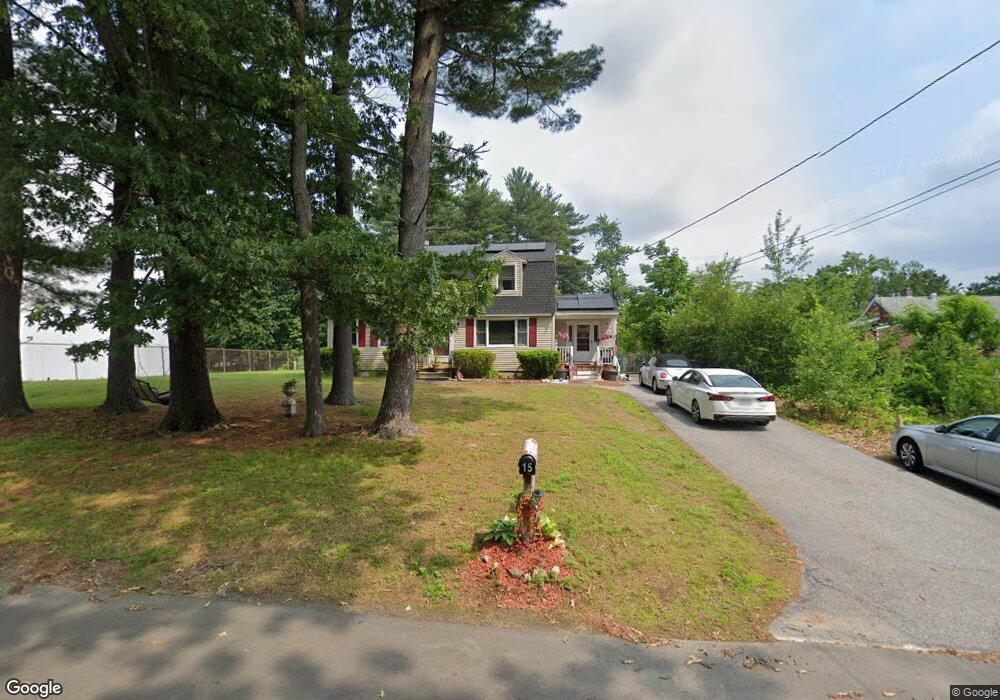
15 K St Dracut, MA 01826
Estimated Value: $558,000 - $667,000
3
Beds
2
Baths
1,888
Sq Ft
$323/Sq Ft
Est. Value
About This Home
This home is located at 15 K St, Dracut, MA 01826 and is currently estimated at $610,242, approximately $323 per square foot. 15 K St is a home located in Middlesex County with nearby schools including Brookside Elementary School, Richardson Middle School, and Dracut Senior High School.
Ownership History
Date
Name
Owned For
Owner Type
Purchase Details
Closed on
Sep 10, 2020
Sold by
Campbell Albert C
Bought by
Campbell Albert C and Campbell Barbara A
Current Estimated Value
Home Financials for this Owner
Home Financials are based on the most recent Mortgage that was taken out on this home.
Original Mortgage
$200,000
Outstanding Balance
$176,679
Interest Rate
2.9%
Mortgage Type
New Conventional
Estimated Equity
$433,563
Purchase Details
Closed on
Dec 13, 2011
Sold by
Labrie Kimberly
Bought by
Campbell Albert C
Home Financials for this Owner
Home Financials are based on the most recent Mortgage that was taken out on this home.
Original Mortgage
$200,000
Interest Rate
4.09%
Purchase Details
Closed on
Jul 8, 1993
Sold by
Campbell Cynthia J
Bought by
Campbell Albert and Campbell Kim
Create a Home Valuation Report for This Property
The Home Valuation Report is an in-depth analysis detailing your home's value as well as a comparison with similar homes in the area
Home Values in the Area
Average Home Value in this Area
Purchase History
| Date | Buyer | Sale Price | Title Company |
|---|---|---|---|
| Campbell Albert C | -- | None Available | |
| Campbell Albert C | -- | -- | |
| Campbell Albert C | -- | -- | |
| Campbell Albert | $64,500 | -- |
Source: Public Records
Mortgage History
| Date | Status | Borrower | Loan Amount |
|---|---|---|---|
| Open | Campbell Albert C | $200,000 | |
| Previous Owner | Campbell Albert C | $200,000 | |
| Previous Owner | Campbell Albert | $165,000 | |
| Previous Owner | Campbell Albert | $105,000 |
Source: Public Records
Tax History Compared to Growth
Tax History
| Year | Tax Paid | Tax Assessment Tax Assessment Total Assessment is a certain percentage of the fair market value that is determined by local assessors to be the total taxable value of land and additions on the property. | Land | Improvement |
|---|---|---|---|---|
| 2025 | $5,056 | $499,600 | $206,200 | $293,400 |
| 2024 | $4,889 | $467,800 | $196,400 | $271,400 |
| 2023 | $4,843 | $418,200 | $170,800 | $247,400 |
| 2022 | $4,713 | $383,500 | $155,200 | $228,300 |
| 2021 | $4,544 | $349,300 | $141,000 | $208,300 |
| 2020 | $4,400 | $329,600 | $136,800 | $192,800 |
| 2019 | $4,201 | $305,500 | $130,200 | $175,300 |
| 2018 | $4,304 | $304,400 | $130,200 | $174,200 |
| 2017 | $4,275 | $304,400 | $130,200 | $174,200 |
| 2016 | $4,158 | $280,200 | $125,200 | $155,000 |
| 2015 | $4,016 | $269,000 | $125,200 | $143,800 |
| 2014 | $3,759 | $259,400 | $125,200 | $134,200 |
Source: Public Records
Map
Nearby Homes
- 97 Passaconaway Dr
- 79 B St
- 14 D St
- 53 4th St
- 67 2nd St
- 10 Edwards St
- 17 Spare St
- 73 A&B Mammoth Rd
- 73 Mammoth Rd Unit A&B
- 73 Mammoth Rd
- 1905 Lakeview Ave
- 671 Nashua Rd
- 19 Mcgrath Rd
- 29 Mill St Unit B
- 9 Cornstalk Ln
- 124 Tennis Plaza Rd Unit 22
- 32 Walnut St
- 53 Vinal St
- 135 Stewart St Unit 1
- 17 Summer St
- 115 Passaconaway Dr
- 20 K St
- 105 Passaconaway Dr
- 135 Passaconaway Dr
- 120 Passaconaway Dr
- 126 Passaconaway Dr
- 12 M St
- 145 Passaconaway Dr
- 106 Passaconaway Dr
- 140 Passaconaway Dr
- 28 K St
- 16 M St
- 5 Barton Ave
- 13 Katsikas Ave
- 14 Hunting Ave
- 144 Passaconaway Dr
- 15 Hunting Ave
- 85 Passaconaway Dr
- 155 Passaconaway Dr
- 14 Katsikas Ave