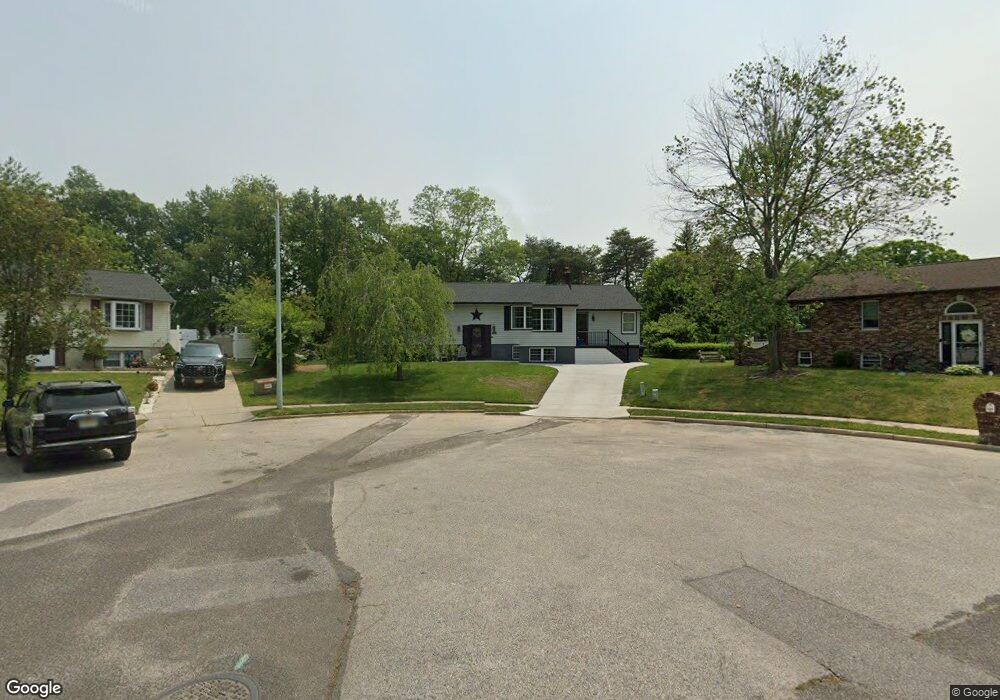
15 Kay Ln Sicklerville, NJ 08081
Erial NeighborhoodEstimated Value: $424,000 - $477,000
--
Bed
--
Bath
2,112
Sq Ft
$213/Sq Ft
Est. Value
About This Home
This home is located at 15 Kay Ln, Sicklerville, NJ 08081 and is currently estimated at $449,339, approximately $212 per square foot. 15 Kay Ln is a home located in Camden County with nearby schools including Timber Creek High School and Erial Community Church Christian School.
Ownership History
Date
Name
Owned For
Owner Type
Purchase Details
Closed on
Sep 21, 2023
Sold by
Norcutt David L
Bought by
Norcutt David L and Norcutt Kathy L
Current Estimated Value
Purchase Details
Closed on
Mar 31, 2004
Sold by
Olson Gustav E
Bought by
Norcutt David L
Home Financials for this Owner
Home Financials are based on the most recent Mortgage that was taken out on this home.
Original Mortgage
$231,700
Interest Rate
5.6%
Mortgage Type
VA
Create a Home Valuation Report for This Property
The Home Valuation Report is an in-depth analysis detailing your home's value as well as a comparison with similar homes in the area
Home Values in the Area
Average Home Value in this Area
Purchase History
| Date | Buyer | Sale Price | Title Company |
|---|---|---|---|
| Norcutt David L | -- | None Listed On Document | |
| Norcutt David L | -- | None Listed On Document | |
| Norcutt David L | $225,000 | -- |
Source: Public Records
Mortgage History
| Date | Status | Borrower | Loan Amount |
|---|---|---|---|
| Previous Owner | Norcutt David L | $231,700 |
Source: Public Records
Tax History Compared to Growth
Tax History
| Year | Tax Paid | Tax Assessment Tax Assessment Total Assessment is a certain percentage of the fair market value that is determined by local assessors to be the total taxable value of land and additions on the property. | Land | Improvement |
|---|---|---|---|---|
| 2025 | $9,859 | $230,900 | $65,300 | $165,600 |
| 2024 | $9,587 | $230,900 | $65,300 | $165,600 |
| 2023 | $9,587 | $230,900 | $65,300 | $165,600 |
| 2022 | $9,527 | $230,900 | $65,300 | $165,600 |
| 2021 | $9,317 | $230,900 | $65,300 | $165,600 |
| 2020 | $9,310 | $230,900 | $65,300 | $165,600 |
| 2019 | $9,118 | $230,900 | $65,300 | $165,600 |
| 2018 | $9,084 | $230,900 | $65,300 | $165,600 |
| 2017 | $8,790 | $230,900 | $65,300 | $165,600 |
| 2016 | $8,601 | $230,900 | $65,300 | $165,600 |
| 2015 | $7,987 | $230,900 | $65,300 | $165,600 |
| 2014 | $7,934 | $230,900 | $65,300 | $165,600 |
Source: Public Records
Map
Nearby Homes
- 41 Plymouth Rd
- 21 Plymouth Rd
- 28 Mary Ellen Ln
- 5 Galena Ct
- 7 Jerome Ave
- 138 Saint Moritz Dr
- 850 Jarvis Rd
- 68 Sturbridge Dr
- 840 Jarvis Rd
- 3 Belleview Ave
- 1 Carrie Place
- 27 Girard Ave
- 4 Lexington Park Rd
- 1490 Kearsley Rd
- 99 Breckenridge Dr
- 300 Turnerville Rd
- 1604 Erial Rd
- 114 Aberdeen Dr
- 2164 Garwood Rd
- 1427 Williamstown Rd