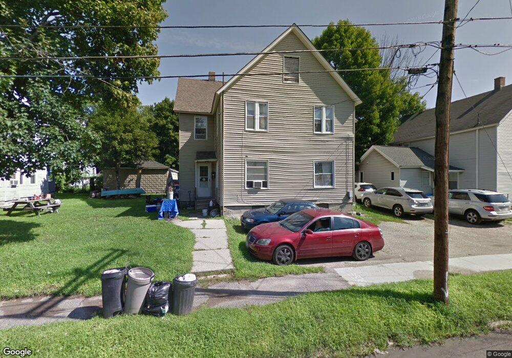
15 Kellogg St Pittsfield, MA 01201
Estimated Value: $194,166 - $313,000
7
Beds
2
Baths
2,784
Sq Ft
$86/Sq Ft
Est. Value
About This Home
This home is located at 15 Kellogg St, Pittsfield, MA 01201 and is currently estimated at $240,042, approximately $86 per square foot. 15 Kellogg St is a home located in Berkshire County with nearby schools including Morningside Community School, Theodore Herberg Middle School, and Pittsfield High School.
Ownership History
Date
Name
Owned For
Owner Type
Purchase Details
Closed on
Nov 1, 2018
Sold by
Mcdermott Mary V
Bought by
Kellogg Properties Llc
Current Estimated Value
Purchase Details
Closed on
Aug 17, 2015
Sold by
Mcdermott Jay A
Bought by
Mcdermott Mary V
Purchase Details
Closed on
Feb 19, 2015
Sold by
Mcdermott Jay A and Mcdermott Dawn T
Bought by
Mcdermott Jay A
Purchase Details
Closed on
Jan 20, 2015
Sold by
48 Rt and Mcdermott
Bought by
Mcdermott Jay A and Mcdermott Dawn T
Purchase Details
Closed on
Jan 3, 1969
Bought by
Mcdermott Mary
Create a Home Valuation Report for This Property
The Home Valuation Report is an in-depth analysis detailing your home's value as well as a comparison with similar homes in the area
Home Values in the Area
Average Home Value in this Area
Purchase History
| Date | Buyer | Sale Price | Title Company |
|---|---|---|---|
| Kellogg Properties Llc | $46,000 | -- | |
| Mcdermott Mary V | -- | -- | |
| Mcdermott Mary | -- | -- | |
| Mcdermott Mary V | -- | -- | |
| Mcdermott Jay A | -- | -- | |
| Mcdermott Jay A | -- | -- | |
| Mcdermott Jay A | -- | -- | |
| Mcdermott Jay A | -- | -- | |
| Mcdermott Jay A | -- | -- | |
| Mcdermott Jay A | -- | -- | |
| Mcdermott Mary | -- | -- |
Source: Public Records
Tax History Compared to Growth
Tax History
| Year | Tax Paid | Tax Assessment Tax Assessment Total Assessment is a certain percentage of the fair market value that is determined by local assessors to be the total taxable value of land and additions on the property. | Land | Improvement |
|---|---|---|---|---|
| 2025 | $2,777 | $154,800 | $29,300 | $125,500 |
| 2024 | $2,437 | $132,100 | $29,300 | $102,800 |
| 2023 | $2,250 | $122,800 | $29,300 | $93,500 |
| 2022 | $2,186 | $117,800 | $27,000 | $90,800 |
| 2021 | $1,952 | $101,400 | $27,000 | $74,400 |
| 2020 | $1,947 | $98,800 | $27,000 | $71,800 |
| 2019 | $2,031 | $104,600 | $27,000 | $77,600 |
| 2018 | $2,019 | $100,900 | $27,000 | $73,900 |
| 2017 | $2,022 | $103,000 | $25,200 | $77,800 |
| 2016 | $1,974 | $105,200 | $25,200 | $80,000 |
| 2015 | $1,900 | $105,200 | $25,200 | $80,000 |
Source: Public Records
Map
Nearby Homes
- 48 Brown St
- 52 Brown St
- LOT 20 Plunkett St
- 24 Glenwood Ave
- 98 Lincoln St
- 29 Glenwood Ave
- 762 East St
- 68 Orchard St
- 51 Adam St
- 41 Perrine Ave
- 71 Maplewood Ave
- 9 Myrtle St
- 81 Dartmouth St Unit 205
- 81 Dartmouth St Unit 102
- 40 Roland St
- 11 Stanley Ave
- 25 Ashley St
- 376 Fenn St
- 26 Springside Ave
- 129 Newell St
- 5 Parker St
- 7 Parker St
- 11 Kellogg St
- 11 Parker St
- 11 Parker St Unit 6
- 11 Parker St Unit 5
- 11 Parker St Unit 4
- 11 Parker St Unit 3
- 11 Parker St Unit 2
- 11 Parker St Unit 1
- 16R Brown St
- 7 Kellogg St
- 13 Parker St
- 10 Brown St
- 32 Brown St
- 24 Brown St
- 33 Kellogg St
- 14 Parker St
- 14 Franco Terrace
- 17 Parker St