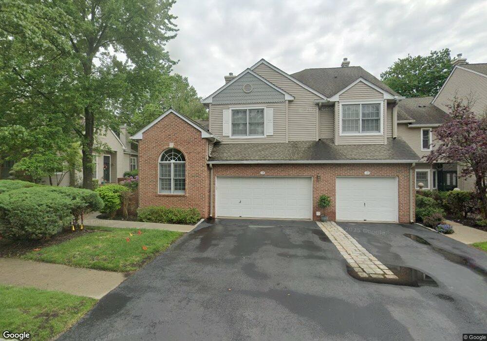
15 Kent Dr Unit C0008 Roseland, NJ 07068
Estimated Value: $648,000 - $702,000
--
Bed
--
Bath
1,492
Sq Ft
$449/Sq Ft
Est. Value
About This Home
This home is located at 15 Kent Dr Unit C0008, Roseland, NJ 07068 and is currently estimated at $670,449, approximately $449 per square foot. 15 Kent Dr Unit C0008 is a home located in Essex County with nearby schools including Lester C. Noecker Elementary School, West Essex Middle School, and West Essex High School.
Ownership History
Date
Name
Owned For
Owner Type
Purchase Details
Closed on
Oct 13, 2020
Sold by
Ascher Michael R and Ascher Amy
Bought by
Russo Matthew and Russo Lara
Current Estimated Value
Purchase Details
Closed on
Dec 12, 2005
Sold by
Russo Matthew
Bought by
Ascher Michael
Purchase Details
Closed on
Dec 2, 1998
Sold by
Rutstein Stephen
Bought by
Arnott Jason
Create a Home Valuation Report for This Property
The Home Valuation Report is an in-depth analysis detailing your home's value as well as a comparison with similar homes in the area
Home Values in the Area
Average Home Value in this Area
Purchase History
| Date | Buyer | Sale Price | Title Company |
|---|---|---|---|
| Russo Matthew | $475,000 | Zwiren Title | |
| Ascher Michael | $574,000 | -- | |
| Arnott Jason | $265,000 | -- |
Source: Public Records
Tax History Compared to Growth
Tax History
| Year | Tax Paid | Tax Assessment Tax Assessment Total Assessment is a certain percentage of the fair market value that is determined by local assessors to be the total taxable value of land and additions on the property. | Land | Improvement |
|---|---|---|---|---|
| 2025 | $9,323 | $518,800 | $260,000 | $258,800 |
| 2024 | $9,323 | $518,800 | $260,000 | $258,800 |
| 2022 | $9,403 | $402,700 | $205,000 | $197,700 |
| 2021 | $9,274 | $402,700 | $205,000 | $197,700 |
| 2020 | $9,242 | $402,700 | $205,000 | $197,700 |
| 2019 | $9,157 | $402,700 | $205,000 | $197,700 |
| 2018 | $9,077 | $402,700 | $205,000 | $197,700 |
| 2017 | $9,073 | $402,700 | $205,000 | $197,700 |
| 2016 | $8,932 | $402,700 | $205,000 | $197,700 |
| 2015 | $8,952 | $402,700 | $205,000 | $197,700 |
| 2014 | $8,702 | $402,700 | $205,000 | $197,700 |
Source: Public Records
Map
Nearby Homes
- 6 Mulford Ct Unit Address 6
- 6 Mulford Ct Unit C0013
- 26 Kent Dr Unit C0145
- 18 Harkey Ct Unit 63
- 18 Harkey Ct Unit C0063
- 88 Kent Dr Unit C0176
- 20 Lenape Dr
- 38 Passaic Ave
- 26 Passaic Ave
- 192 Eagle Rock Ave
- 27 3rd Ave
- 144 Passaic Ave
- 39 Schweinberg Dr Unit 2039
- 30 Schweinberg Dr
- 518 Eagle Rock Ave
- 4 Williamsburg Dr
- 41 W Mcclellan Ave
- 45 Brandon Ave
- 58 Leonard Terrace
- 26 Bovensiepen Ct
- 13 Kent Dr Unit C0007
- 17 Kent Dr Unit C0009
- 19 Kent Dr Unit C0010
- 11 Kent Dr Unit C0006
- 9 Kent Dr Unit C0005
- 10 Kent Dr Unit C0142
- 7 Kent Dr Unit C0004
- 2 Mulford Ct Unit C0011
- 4 Mulford Ct Unit C0012
- 8 Mulford Ct Unit C0014
- 22 Kent Dr Unit C0143
- 12 Kent Dr Unit C0141
- 24 Kent Dr Unit C0144
- 14 Kent Dr Unit C0140
- 3 Kent Dr Unit C0002
- 16 Kent Dr Unit C0139
- 1 Kent Dr Unit C0001
- 5 Kent Dr Unit C0003
- 28 Kent Dr Unit C0146
- 18 Kent Dr Unit C0138