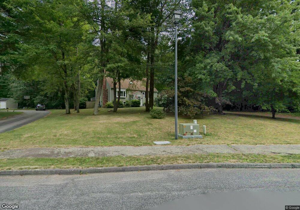
15 King Arthur Way Mansfield, MA 02048
Estimated Value: $809,502 - $950,000
4
Beds
3
Baths
2,208
Sq Ft
$407/Sq Ft
Est. Value
About This Home
This home is located at 15 King Arthur Way, Mansfield, MA 02048 and is currently estimated at $898,876, approximately $407 per square foot. 15 King Arthur Way is a home located in Bristol County with nearby schools including Everett W. Robinson Elementary School, Jordan/Jackson Elementary School, and Harold L. Qualters Middle School.
Ownership History
Date
Name
Owned For
Owner Type
Purchase Details
Closed on
Aug 1, 2012
Sold by
Wyckoff Patricia
Bought by
15 King Arthur Way Rt
Current Estimated Value
Purchase Details
Closed on
Feb 28, 1996
Sold by
Kent Thomas F and Kent Susan M
Bought by
Elsner David G and Kent Susan M
Home Financials for this Owner
Home Financials are based on the most recent Mortgage that was taken out on this home.
Original Mortgage
$156,800
Interest Rate
7.02%
Mortgage Type
Purchase Money Mortgage
Purchase Details
Closed on
Aug 3, 1988
Sold by
Fra Lo Corp
Bought by
Minori David B
Create a Home Valuation Report for This Property
The Home Valuation Report is an in-depth analysis detailing your home's value as well as a comparison with similar homes in the area
Home Values in the Area
Average Home Value in this Area
Purchase History
| Date | Buyer | Sale Price | Title Company |
|---|---|---|---|
| 15 King Arthur Way Rt | -- | -- | |
| Elsner David G | $196,000 | -- | |
| Minori David B | $241,900 | -- |
Source: Public Records
Mortgage History
| Date | Status | Borrower | Loan Amount |
|---|---|---|---|
| Previous Owner | Minori David B | $184,000 | |
| Previous Owner | Minori David B | $199,000 | |
| Previous Owner | Minori David B | $156,800 | |
| Previous Owner | Minori David B | $209,300 |
Source: Public Records
Tax History Compared to Growth
Tax History
| Year | Tax Paid | Tax Assessment Tax Assessment Total Assessment is a certain percentage of the fair market value that is determined by local assessors to be the total taxable value of land and additions on the property. | Land | Improvement |
|---|---|---|---|---|
| 2025 | $9,577 | $727,200 | $319,900 | $407,300 |
| 2024 | $9,577 | $709,400 | $332,600 | $376,800 |
| 2023 | $9,321 | $661,500 | $332,600 | $328,900 |
| 2022 | $9,026 | $595,000 | $310,100 | $284,900 |
| 2021 | $3,612 | $563,200 | $257,900 | $305,300 |
| 2020 | $8,526 | $555,100 | $257,900 | $297,200 |
| 2019 | $3,041 | $518,500 | $218,700 | $299,800 |
| 2018 | $7,850 | $504,200 | $209,800 | $294,400 |
| 2017 | $7,373 | $490,900 | $204,600 | $286,300 |
| 2016 | $7,095 | $460,400 | $195,700 | $264,700 |
| 2015 | $6,927 | $446,900 | $195,700 | $251,200 |
Source: Public Records
Map
Nearby Homes
- 11 King Arthur Way
- 18 King Arthur Way
- 22 King Arthur Way
- 19 King Arthur Way
- 7 King Arthur Way
- 14 King Arthur Way
- 111 Williams St
- 10 King Arthur Way
- 97 Williams St
- 23 King Arthur Way
- 26 King Arthur Way
- 19 Lancelot Ln
- 15 Lancelot Ln
- 99 Williams St
- 9 Lancelot Ln
- 27 King Arthur Way
- 96 Williams St
- 92 Williams St
- 89 Williams St
- 5 Lancelot Ln