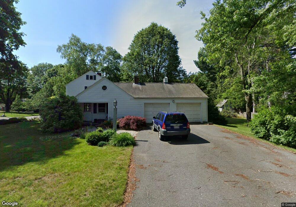
15 Kinnicutt Rd Unit 1 Worcester, MA 01602
Newton Square NeighborhoodEstimated Value: $510,000 - $647,000
3
Beds
3
Baths
2,572
Sq Ft
$220/Sq Ft
Est. Value
About This Home
This home is located at 15 Kinnicutt Rd Unit 1, Worcester, MA 01602 and is currently estimated at $565,254, approximately $219 per square foot. 15 Kinnicutt Rd Unit 1 is a home located in Worcester County with nearby schools including Chandler Magnet, Jacob Hiatt Magnet School, and Flagg Street School.
Ownership History
Date
Name
Owned For
Owner Type
Purchase Details
Closed on
Jan 6, 2014
Sold by
Laipson Samuel M and Laipson Shirley J
Bought by
Getchell Mark H
Current Estimated Value
Home Financials for this Owner
Home Financials are based on the most recent Mortgage that was taken out on this home.
Original Mortgage
$224,000
Outstanding Balance
$168,129
Interest Rate
4.24%
Mortgage Type
New Conventional
Estimated Equity
$397,125
Create a Home Valuation Report for This Property
The Home Valuation Report is an in-depth analysis detailing your home's value as well as a comparison with similar homes in the area
Home Values in the Area
Average Home Value in this Area
Purchase History
| Date | Buyer | Sale Price | Title Company |
|---|---|---|---|
| Getchell Mark H | $280,000 | -- |
Source: Public Records
Mortgage History
| Date | Status | Borrower | Loan Amount |
|---|---|---|---|
| Open | Getchell Mark H | $224,000 |
Source: Public Records
Tax History Compared to Growth
Tax History
| Year | Tax Paid | Tax Assessment Tax Assessment Total Assessment is a certain percentage of the fair market value that is determined by local assessors to be the total taxable value of land and additions on the property. | Land | Improvement |
|---|---|---|---|---|
| 2025 | $6,595 | $500,000 | $118,900 | $381,100 |
| 2024 | $6,435 | $468,000 | $118,900 | $349,100 |
| 2023 | $6,203 | $432,600 | $103,400 | $329,200 |
| 2022 | $5,748 | $377,900 | $82,700 | $295,200 |
| 2021 | $5,591 | $343,400 | $66,200 | $277,200 |
| 2020 | $5,398 | $317,500 | $66,200 | $251,300 |
| 2019 | $5,405 | $300,300 | $59,700 | $240,600 |
| 2018 | $5,357 | $283,300 | $59,700 | $223,600 |
| 2017 | $5,134 | $267,100 | $59,700 | $207,400 |
| 2016 | $5,177 | $251,200 | $44,300 | $206,900 |
| 2015 | $4,504 | $224,400 | $44,300 | $180,100 |
| 2014 | $3,992 | $204,300 | $44,300 | $160,000 |
Source: Public Records
Map
Nearby Homes