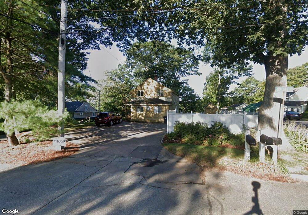
15 Lake St Wrentham, MA 02093
Estimated Value: $641,000 - $833,000
2
Beds
2
Baths
1,164
Sq Ft
$640/Sq Ft
Est. Value
About This Home
This home is located at 15 Lake St, Wrentham, MA 02093 and is currently estimated at $744,713, approximately $639 per square foot. 15 Lake St is a home located in Norfolk County with nearby schools including Delaney Elementary School and Charles E Roderick.
Ownership History
Date
Name
Owned For
Owner Type
Purchase Details
Closed on
Jul 1, 2008
Sold by
Jones Mark A and Jones Cindy A
Bought by
Larson Matthew E and Larson Sarah D
Current Estimated Value
Home Financials for this Owner
Home Financials are based on the most recent Mortgage that was taken out on this home.
Original Mortgage
$404,975
Outstanding Balance
$261,261
Interest Rate
6.07%
Mortgage Type
Purchase Money Mortgage
Estimated Equity
$483,452
Purchase Details
Closed on
Mar 31, 1999
Sold by
Jones John C and Jones Janet
Bought by
Jones Mark A and Jones Cinsy A
Home Financials for this Owner
Home Financials are based on the most recent Mortgage that was taken out on this home.
Original Mortgage
$123,500
Interest Rate
6.95%
Create a Home Valuation Report for This Property
The Home Valuation Report is an in-depth analysis detailing your home's value as well as a comparison with similar homes in the area
Home Values in the Area
Average Home Value in this Area
Purchase History
| Date | Buyer | Sale Price | Title Company |
|---|---|---|---|
| Larson Matthew E | $417,500 | -- | |
| Jones Mark A | $155,000 | -- |
Source: Public Records
Mortgage History
| Date | Status | Borrower | Loan Amount |
|---|---|---|---|
| Open | Larson Matthew E | $404,975 | |
| Previous Owner | Jones Mark A | $133,000 | |
| Previous Owner | Jones Mark A | $123,500 | |
| Previous Owner | Jones Mark A | $155,000 |
Source: Public Records
Tax History Compared to Growth
Tax History
| Year | Tax Paid | Tax Assessment Tax Assessment Total Assessment is a certain percentage of the fair market value that is determined by local assessors to be the total taxable value of land and additions on the property. | Land | Improvement |
|---|---|---|---|---|
| 2025 | $7,952 | $686,100 | $493,700 | $192,400 |
| 2024 | $6,986 | $582,200 | $493,700 | $88,500 |
| 2023 | $6,566 | $520,300 | $448,800 | $71,500 |
| 2022 | $6,223 | $455,200 | $398,300 | $56,900 |
| 2021 | $5,721 | $406,600 | $353,600 | $53,000 |
| 2020 | $6,638 | $465,800 | $385,500 | $80,300 |
| 2019 | $6,996 | $495,500 | $415,200 | $80,300 |
| 2018 | $7,288 | $511,800 | $415,300 | $96,500 |
| 2017 | $7,054 | $495,000 | $407,300 | $87,700 |
| 2016 | $6,877 | $481,600 | $395,500 | $86,100 |
| 2015 | $6,835 | $456,300 | $380,200 | $76,100 |
| 2014 | $6,736 | $440,000 | $365,700 | $74,300 |
Source: Public Records
Map
Nearby Homes
- 10 Nature View Dr
- 15 Nature View Dr
- 131 Creek St Unit 7
- 570 Franklin St
- 11 Earle Stewart Ln
- Lot 3 - 14 Earle Stewart Ln
- Lot 1 - Blueberry 2 Car Plan at King Philip Estates
- Lot 8 - Blueberry 2 Car Plan at King Philip Estates
- Lot 6 - Blueberry 3 Car Plan at King Philip Estates
- Lot 2 - Camden 2 Car Plan at King Philip Estates
- Lot 7 - Cedar Plan at King Philip Estates
- Lot 4 - Hemingway 2 Car Plan at King Philip Estates
- Lot 3 - Blueberry 2 Car Plan at King Philip Estates
- 270 Dedham St
- 1 Lorraine Metcalf Dr
- 319 Taunton St
- 50 Reed Fulton Ave Unit Lot 61
- 362 East St
- 246 Forest Grove Ave
- 45 Joshua Rd