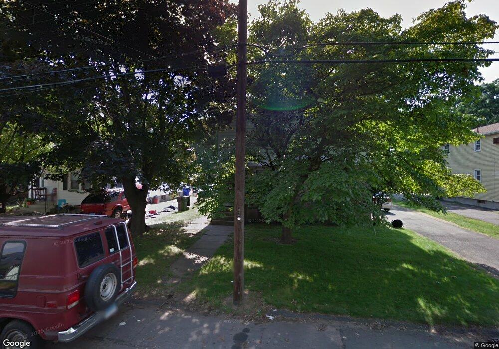
15 Laurel St Unit 17 East Hartford, CT 06108
Estimated Value: $321,507 - $380,000
6
Beds
2
Baths
2,528
Sq Ft
$141/Sq Ft
Est. Value
About This Home
This home is located at 15 Laurel St Unit 17, East Hartford, CT 06108 and is currently estimated at $356,627, approximately $141 per square foot. 15 Laurel St Unit 17 is a home located in Hartford County with nearby schools including Anna E. Norris School, East Hartford Middle School, and East Hartford High School.
Create a Home Valuation Report for This Property
The Home Valuation Report is an in-depth analysis detailing your home's value as well as a comparison with similar homes in the area
Home Values in the Area
Average Home Value in this Area
Tax History Compared to Growth
Tax History
| Year | Tax Paid | Tax Assessment Tax Assessment Total Assessment is a certain percentage of the fair market value that is determined by local assessors to be the total taxable value of land and additions on the property. | Land | Improvement |
|---|---|---|---|---|
| 2025 | $7,305 | $159,160 | $27,920 | $131,240 |
| 2024 | $7,003 | $159,160 | $27,920 | $131,240 |
| 2023 | $6,771 | $159,160 | $27,920 | $131,240 |
| 2022 | $6,526 | $159,160 | $27,920 | $131,240 |
| 2021 | $5,687 | $115,230 | $26,040 | $89,190 |
| 2020 | $5,752 | $115,230 | $26,040 | $89,190 |
| 2019 | $5,659 | $115,230 | $26,040 | $89,190 |
| 2018 | $5,492 | $115,230 | $26,040 | $89,190 |
| 2017 | $5,422 | $115,230 | $26,040 | $89,190 |
| 2016 | $5,336 | $116,360 | $26,040 | $90,320 |
| 2015 | $5,336 | $116,360 | $26,040 | $90,320 |
| 2014 | $5,283 | $116,360 | $26,040 | $90,320 |
Source: Public Records
Map
Nearby Homes
- 67 Laurel St
- 15 Michael Ave
- 51 Daniel St
- 453 Burnside Ave
- 89 Henderson Dr
- 506 Burnside Ave
- 509 Burnside Ave Unit A18
- 22 Matthew Rd
- 421 Tolland St
- 421 Tolland St Unit 209
- 265 Burnside Ave
- 39 Tiffany Rd
- 30 Oakwood St
- 29 Joanne Dr Unit 29
- 10 Kenyon Place
- 110 Goodwin St
- 181 Burnside Ave
- 1589 Main St
- 98 Olmsted St
- 50 Northbrook Ct
