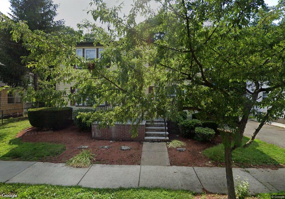
15 Leahaven Rd Mattapan, MA 02126
Southern Mattapan NeighborhoodEstimated Value: $663,000 - $816,681
4
Beds
3
Baths
2,112
Sq Ft
$360/Sq Ft
Est. Value
About This Home
This home is located at 15 Leahaven Rd, Mattapan, MA 02126 and is currently estimated at $759,420, approximately $359 per square foot. 15 Leahaven Rd is a home located in Suffolk County with nearby schools including KIPP Academy Boston Charter School, Berea Seventh-day Adventist Academy, and Saint John Paul II Catholic Academy.
Ownership History
Date
Name
Owned For
Owner Type
Purchase Details
Closed on
Nov 18, 2024
Sold by
Brown Leahaven Rd Ft and Brown-Carter
Bought by
Beverly Brown-Carter Ft and Brown-Carter
Current Estimated Value
Purchase Details
Closed on
Aug 27, 2012
Sold by
Brown Willie A
Bought by
Brown Family Leahaven and Brown-Carter
Create a Home Valuation Report for This Property
The Home Valuation Report is an in-depth analysis detailing your home's value as well as a comparison with similar homes in the area
Home Values in the Area
Average Home Value in this Area
Purchase History
| Date | Buyer | Sale Price | Title Company |
|---|---|---|---|
| Beverly Brown-Carter Ft | -- | None Available | |
| Beverly Brown-Carter Ft | -- | None Available | |
| Brown Family Leahaven | -- | -- | |
| Brown Family Leahaven | -- | -- |
Source: Public Records
Tax History Compared to Growth
Tax History
| Year | Tax Paid | Tax Assessment Tax Assessment Total Assessment is a certain percentage of the fair market value that is determined by local assessors to be the total taxable value of land and additions on the property. | Land | Improvement |
|---|---|---|---|---|
| 2025 | $7,502 | $647,800 | $210,400 | $437,400 |
| 2024 | $6,392 | $586,400 | $196,800 | $389,600 |
| 2023 | $5,830 | $542,800 | $182,200 | $360,600 |
| 2022 | $5,906 | $542,800 | $182,200 | $360,600 |
| 2021 | $5,464 | $512,100 | $171,900 | $340,200 |
| 2020 | $4,769 | $451,600 | $160,600 | $291,000 |
| 2019 | $4,251 | $403,300 | $121,600 | $281,700 |
| 2018 | $3,987 | $380,400 | $121,600 | $258,800 |
| 2017 | $3,873 | $365,700 | $121,600 | $244,100 |
| 2016 | $3,760 | $341,800 | $121,600 | $220,200 |
| 2015 | $3,479 | $287,300 | $122,400 | $164,900 |
| 2014 | $3,173 | $252,200 | $122,400 | $129,800 |
Source: Public Records
Map
Nearby Homes
- 10 Briarcliff Terrace
- 24 Constitution Rd
- 333 Eliot St
- 15 Cantwell Rd
- 32 Violet St
- 67 Idaho St
- 32 Columbine Rd
- 30 Glenhill Rd
- 11 French St
- 23 Maryknoll St
- 4 Crossman St Unit 4
- 157 Delhi St
- 131 Eliot St Unit 312
- 131 Eliot St Unit 408
- 131 Eliot St Unit 305
- 4 School St
- 8-14R Temple St
- 32-32R Temple St
- 1465 Blue Hill Ave
- 27 Hawthorn Rd
- 11 Leahaven Rd
- 19 Leahaven Rd
- 7 Leahaven Rd
- 14 Ledgebrook Rd
- 23 Leahaven Rd
- 31 Meadowbank Ave
- 14 Leahaven Rd
- 18 Ledgebrook Rd
- 10 Ledgebrook Rd
- 10 Leahaven Rd
- 18 Leahaven Rd
- 35 Meadowbank Ave
- 280 River St
- 3 Leahaven Rd
- 6 Leahaven Rd
- 2-4 Ledgebrook Rd
- 2-4 Ledgebrook Rd Unit 2
- 284 River St
- 23 Meadowbank Ave
- 22 Ledgebrook Rd