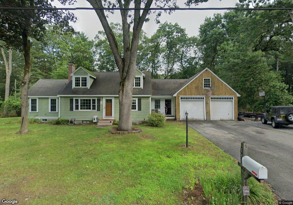
15 Lillian Rd Westford, MA 01886
Estimated Value: $628,000 - $783,000
3
Beds
2
Baths
2,332
Sq Ft
$315/Sq Ft
Est. Value
About This Home
This home is located at 15 Lillian Rd, Westford, MA 01886 and is currently estimated at $735,696, approximately $315 per square foot. 15 Lillian Rd is a home located in Middlesex County with nearby schools including Nabnasset Elementary, Abbot Elementary School, and Stony Brook School.
Ownership History
Date
Name
Owned For
Owner Type
Purchase Details
Closed on
Nov 12, 2021
Sold by
Henderson Scott P and Henderson Kimberly A
Bought by
Henderson Scott P
Current Estimated Value
Home Financials for this Owner
Home Financials are based on the most recent Mortgage that was taken out on this home.
Original Mortgage
$260,000
Outstanding Balance
$238,245
Interest Rate
2.99%
Mortgage Type
Purchase Money Mortgage
Estimated Equity
$497,451
Purchase Details
Closed on
Dec 15, 1997
Sold by
Kelley Paul Edward and Kelley Daphne Marsden
Bought by
Henderson Scott P and Henderson Kimberly A
Purchase Details
Closed on
Dec 1, 1988
Sold by
Hennessy Robt M
Bought by
Kelley Paul Edw
Create a Home Valuation Report for This Property
The Home Valuation Report is an in-depth analysis detailing your home's value as well as a comparison with similar homes in the area
Home Values in the Area
Average Home Value in this Area
Purchase History
| Date | Buyer | Sale Price | Title Company |
|---|---|---|---|
| Henderson Scott P | $250,000 | None Available | |
| Henderson Scott P | $184,000 | -- | |
| Kelley Paul Edw | $175,000 | -- |
Source: Public Records
Mortgage History
| Date | Status | Borrower | Loan Amount |
|---|---|---|---|
| Open | Henderson Scott P | $260,000 | |
| Previous Owner | Kelley Paul Edw | $170,000 | |
| Previous Owner | Kelley Paul Edw | $184,000 | |
| Previous Owner | Kelley Paul Edw | $240,000 |
Source: Public Records
Tax History Compared to Growth
Tax History
| Year | Tax Paid | Tax Assessment Tax Assessment Total Assessment is a certain percentage of the fair market value that is determined by local assessors to be the total taxable value of land and additions on the property. | Land | Improvement |
|---|---|---|---|---|
| 2025 | $8,270 | $600,600 | $289,900 | $310,700 |
| 2024 | $8,270 | $600,600 | $289,900 | $310,700 |
| 2023 | $8,115 | $549,800 | $276,200 | $273,600 |
| 2022 | $8,005 | $496,600 | $235,800 | $260,800 |
| 2021 | $7,689 | $462,100 | $235,800 | $226,300 |
| 2020 | $27,006 | $456,900 | $235,800 | $221,100 |
| 2019 | $7,079 | $427,500 | $235,800 | $191,700 |
| 2018 | $25,383 | $417,300 | $225,600 | $191,700 |
| 2017 | $28,354 | $399,300 | $225,600 | $173,700 |
| 2016 | $6,298 | $386,400 | $212,700 | $173,700 |
| 2015 | $6,116 | $376,600 | $203,400 | $173,200 |
| 2014 | $5,895 | $355,100 | $195,400 | $159,700 |
Source: Public Records
Map
Nearby Homes