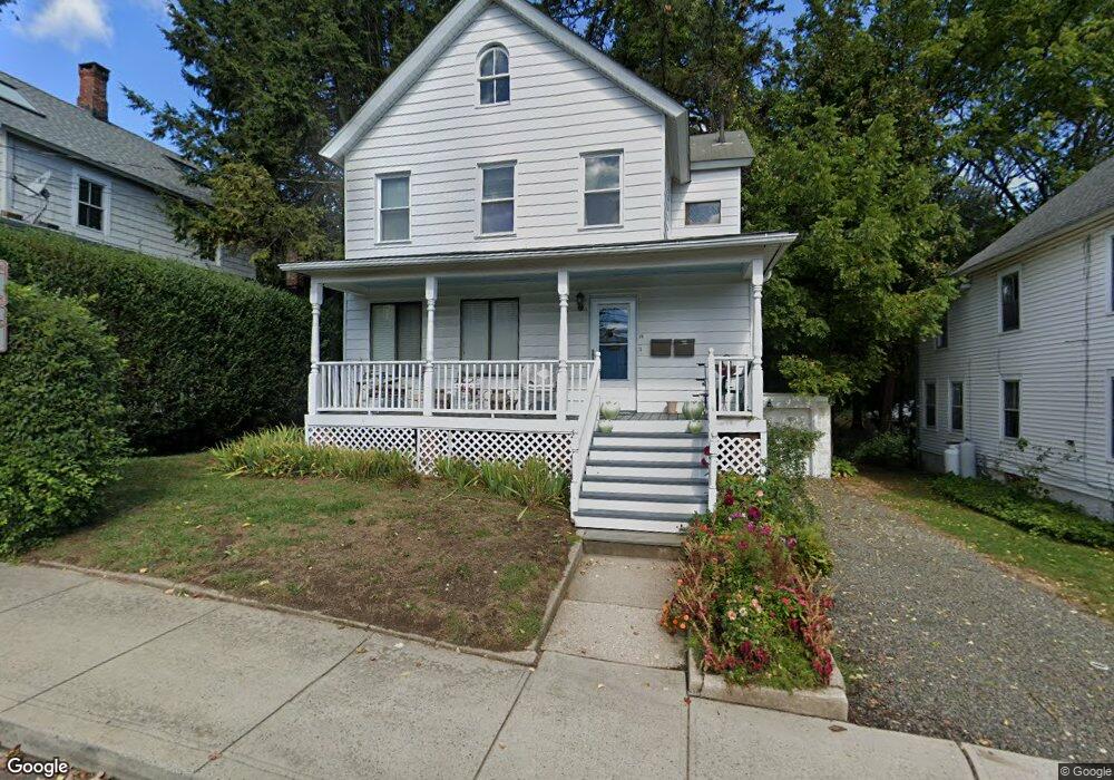
15 Lincoln St Unit 2 Westport, CT 06880
Saugatuck NeighborhoodEstimated Value: $734,000 - $1,009,000
1
Bed
2
Baths
1,200
Sq Ft
$713/Sq Ft
Est. Value
About This Home
This home is located at 15 Lincoln St Unit 2, Westport, CT 06880 and is currently estimated at $855,400, approximately $712 per square foot. 15 Lincoln St Unit 2 is a home located in Fairfield County with nearby schools including King's Highway Elementary School, Coleytown Middle School, and Staples High School.
Ownership History
Date
Name
Owned For
Owner Type
Purchase Details
Closed on
Dec 21, 2021
Sold by
Shulman Susan
Bought by
Mioli Alessandro
Current Estimated Value
Home Financials for this Owner
Home Financials are based on the most recent Mortgage that was taken out on this home.
Original Mortgage
$551,485
Outstanding Balance
$505,271
Interest Rate
2.98%
Mortgage Type
FHA
Estimated Equity
$350,129
Purchase Details
Closed on
Sep 9, 1997
Sold by
Carusone Joe
Bought by
Shulman Susan
Home Financials for this Owner
Home Financials are based on the most recent Mortgage that was taken out on this home.
Original Mortgage
$212,000
Interest Rate
7.36%
Mortgage Type
Unknown
Create a Home Valuation Report for This Property
The Home Valuation Report is an in-depth analysis detailing your home's value as well as a comparison with similar homes in the area
Home Values in the Area
Average Home Value in this Area
Purchase History
| Date | Buyer | Sale Price | Title Company |
|---|---|---|---|
| Mioli Alessandro | $567,500 | None Available | |
| Mioli Alessandro | $567,500 | None Available | |
| Shulman Susan | $265,000 | -- | |
| Shulman Susan | $265,000 | -- |
Source: Public Records
Mortgage History
| Date | Status | Borrower | Loan Amount |
|---|---|---|---|
| Open | Mioli Alessandro | $551,485 | |
| Closed | Mioli Alessandro | $551,485 | |
| Previous Owner | Shulman Susan | $203,000 | |
| Previous Owner | Shulman Susan | $212,000 |
Source: Public Records
Tax History Compared to Growth
Tax History
| Year | Tax Paid | Tax Assessment Tax Assessment Total Assessment is a certain percentage of the fair market value that is determined by local assessors to be the total taxable value of land and additions on the property. | Land | Improvement |
|---|---|---|---|---|
| 2025 | $5,469 | $290,000 | $191,100 | $98,900 |
| 2024 | $5,400 | $290,000 | $191,100 | $98,900 |
| 2023 | $5,322 | $290,000 | $191,100 | $98,900 |
| 2022 | $5,240 | $290,000 | $191,100 | $98,900 |
| 2021 | $5,240 | $290,000 | $191,100 | $98,900 |
| 2020 | $5,342 | $319,700 | $198,500 | $121,200 |
| 2019 | $5,390 | $319,700 | $198,500 | $121,200 |
| 2018 | $5,390 | $319,700 | $198,500 | $121,200 |
| 2017 | $5,390 | $319,700 | $198,500 | $121,200 |
| 2016 | $5,390 | $319,700 | $198,500 | $121,200 |
| 2015 | $5,581 | $308,500 | $160,400 | $148,100 |
| 2014 | $5,534 | $308,500 | $160,400 | $148,100 |
Source: Public Records
Map
Nearby Homes
- 21 Wright St
- 60 Wilton Rd Unit 2C
- 11 Old Hill Rd
- 102 Compo Rd S
- 20 Old Hill Rd
- 113 Kings Hwy N
- 3 Laurel Ln
- 33 Pequot Trail
- 5 Franklin Ave
- 310 Main St
- 3 Tanglewood Ln
- 7 Wild Rose Rd
- 42 Kings Hwy S
- 171 Compo Rd S
- 171 & 169 Compo Rd S
- 23 Bridge St
- 9 Crescent Park Rd
- 28 Crescent Park Rd
- 13 Hills Ln
- 26 Crescent Park Rd
- 15 Lincoln St
- 7 Lincoln St
- 7 Lincoln St Unit 1
- 19 Lincoln St
- 19 Lincoln St Unit 2ND
- 19 Lincoln St Unit 21
- 19 Lincoln St Unit 19
- 1 Lincoln St
- 87 Post Rd W
- 25 Lincoln St
- 14 Lincoln St
- 14 Lincoln St Unit A
- 14 Lincoln St Unit B
- 85 Post Rd W
- 79 Post Rd W
- 20 Lincoln St
- 20 Lincoln St Unit A
- 20 Lincoln St Unit B
- 26 Lincoln St