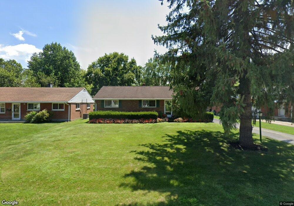
15 Locust Dr Springboro, OH 45066
Estimated Value: $232,838 - $260,000
3
Beds
1
Bath
1,288
Sq Ft
$191/Sq Ft
Est. Value
About This Home
This home is located at 15 Locust Dr, Springboro, OH 45066 and is currently estimated at $246,210, approximately $191 per square foot. 15 Locust Dr is a home located in Warren County with nearby schools including Clearcreek Elementary School, Springboro Intermediate School, and Dennis Elementary School.
Ownership History
Date
Name
Owned For
Owner Type
Purchase Details
Closed on
Sep 20, 2019
Sold by
Briscoe Jackie S Rowland and Briscoe Dwight D
Bought by
Clifford Jarrod D and Clifford Kristie J
Current Estimated Value
Purchase Details
Closed on
Sep 29, 2011
Sold by
Belue Joyce E and Anello Frank Michael
Bought by
Anello Joyce E and Anello Frank Michael
Purchase Details
Closed on
Dec 8, 1983
Sold by
Richardson Paul B and Richardson Paul B
Bought by
Belue and Belue Joyce E
Purchase Details
Closed on
Oct 14, 1980
Sold by
Richardson Richardson and Richardson Elizabeth M
Create a Home Valuation Report for This Property
The Home Valuation Report is an in-depth analysis detailing your home's value as well as a comparison with similar homes in the area
Home Values in the Area
Average Home Value in this Area
Purchase History
| Date | Buyer | Sale Price | Title Company |
|---|---|---|---|
| Clifford Jarrod D | $30,000 | None Available | |
| Anello Joyce E | -- | Attorney | |
| Belue | -- | -- | |
| -- | -- | -- |
Source: Public Records
Tax History
| Year | Tax Paid | Tax Assessment Tax Assessment Total Assessment is a certain percentage of the fair market value that is determined by local assessors to be the total taxable value of land and additions on the property. | Land | Improvement |
|---|---|---|---|---|
| 2025 | $2,269 | $67,900 | $16,800 | $51,100 |
| 2024 | $2,269 | $67,900 | $16,800 | $51,100 |
| 2023 | $1,891 | $53,812 | $12,390 | $41,422 |
| 2022 | $1,891 | $53,813 | $12,390 | $41,423 |
| 2021 | $1,759 | $53,813 | $12,390 | $41,423 |
| 2020 | $1,646 | $45,605 | $10,500 | $35,105 |
| 2019 | $1,518 | $45,605 | $10,500 | $35,105 |
| 2018 | $1,519 | $45,605 | $10,500 | $35,105 |
| 2017 | $1,505 | $41,640 | $9,727 | $31,913 |
| 2016 | $1,569 | $41,640 | $9,727 | $31,913 |
| 2015 | $1,542 | $41,640 | $9,727 | $31,913 |
| 2014 | $1,542 | $39,280 | $9,180 | $30,110 |
| 2013 | $1,540 | $44,950 | $10,500 | $34,450 |
Source: Public Records
Map
Nearby Homes
- 60 Rosewood Dr
- 84 W Mill St
- 50 Morris St
- 45 Morris St Unit 15
- 8 Glasgow St Unit 30
- 65 Morris St Unit 17
- 45 Morris St
- 18 Glasgow St Unit 29
- 8 Glasgow St
- 18 Glasgow St
- 30 Morris St
- 50 Morris St Unit 4
- 65 Morris St
- 65 Ed Knoll Bend
- 330 East St
- 10 Woods Rd
- 40 Libby Hollow St
- 90 Libby Hollow St
- 490 W Market St
- 35 Edgebrooke Dr
Your Personal Tour Guide
Ask me questions while you tour the home.