Estimated Value: $1,175,000 - $1,356,000
4
Beds
3
Baths
3,289
Sq Ft
$380/Sq Ft
Est. Value
About This Home
This home is located at 15 Long Ridge Rd, Acton, MA 01720 and is currently estimated at $1,249,261, approximately $379 per square foot. 15 Long Ridge Rd is a home located in Middlesex County with nearby schools including Acton-Boxborough Regional High School.
Ownership History
Date
Name
Owned For
Owner Type
Purchase Details
Closed on
Aug 22, 2025
Sold by
Christopher J Webster Ret and Webster
Bought by
Webster Christopher J and Webster Helen
Current Estimated Value
Purchase Details
Closed on
Jul 1, 2019
Sold by
Webster Christopher J and Webster Helen
Bought by
Christopher J Webster Ret
Purchase Details
Closed on
Dec 8, 2004
Sold by
Webster Christopher Joh
Bought by
Christopher J Webster J and Christopher Webster
Purchase Details
Closed on
Aug 29, 2002
Sold by
Bramhall Mark H and Bramhall Janet K
Bought by
Webster Christopher and Webster Helen
Home Financials for this Owner
Home Financials are based on the most recent Mortgage that was taken out on this home.
Original Mortgage
$336,000
Interest Rate
6.55%
Mortgage Type
Purchase Money Mortgage
Create a Home Valuation Report for This Property
The Home Valuation Report is an in-depth analysis detailing your home's value as well as a comparison with similar homes in the area
Home Values in the Area
Average Home Value in this Area
Purchase History
| Date | Buyer | Sale Price | Title Company |
|---|---|---|---|
| Webster Christopher J | -- | -- | |
| Webster Christopher J | -- | -- | |
| Christopher J Webster Ret | -- | -- | |
| Christopher J Webster Ret | -- | -- | |
| Christopher J Webster J | -- | -- | |
| Webster Christopher J | -- | -- | |
| Webster Christopher | $586,000 | -- | |
| Webster Christopher | $586,000 | -- |
Source: Public Records
Mortgage History
| Date | Status | Borrower | Loan Amount |
|---|---|---|---|
| Previous Owner | Webster Christopher | $180,000 | |
| Previous Owner | Webster Christopher | $269,230 | |
| Previous Owner | Webster Christopher | $336,000 |
Source: Public Records
Tax History Compared to Growth
Tax History
| Year | Tax Paid | Tax Assessment Tax Assessment Total Assessment is a certain percentage of the fair market value that is determined by local assessors to be the total taxable value of land and additions on the property. | Land | Improvement |
|---|---|---|---|---|
| 2025 | $17,946 | $1,046,400 | $419,200 | $627,200 |
| 2024 | $16,757 | $1,005,200 | $419,200 | $586,000 |
| 2023 | $16,341 | $930,600 | $381,600 | $549,000 |
| 2022 | $15,441 | $793,900 | $331,200 | $462,700 |
| 2021 | $15,308 | $756,700 | $306,400 | $450,300 |
| 2020 | $14,436 | $750,300 | $306,400 | $443,900 |
| 2019 | $13,960 | $720,700 | $306,400 | $414,300 |
| 2018 | $13,394 | $691,100 | $306,400 | $384,700 |
| 2017 | $12,951 | $679,500 | $306,400 | $373,100 |
| 2016 | $12,896 | $670,600 | $306,400 | $364,200 |
| 2015 | $12,653 | $664,200 | $306,400 | $357,800 |
| 2014 | $12,236 | $629,100 | $306,400 | $322,700 |
Source: Public Records
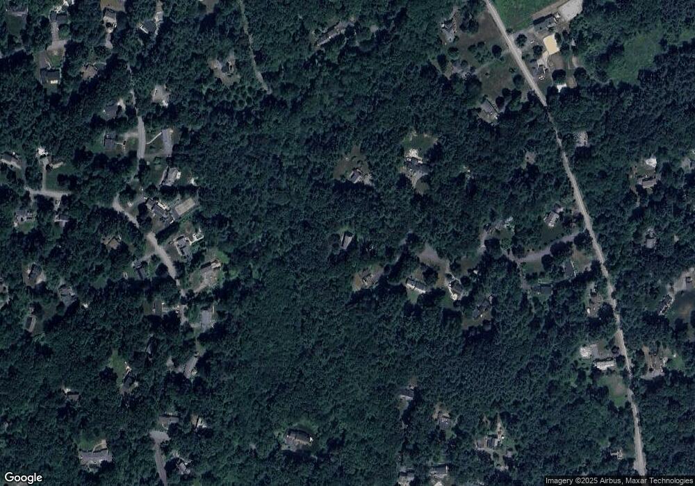
Map
Nearby Homes
- 524 Main St
- 709 Main St
- 159 Skyline Dr Unit 159
- 23 John Swift Rd
- 491 Main St
- 388 Great Rd Unit B14
- 386 Great Rd Unit A8
- 390 Great Rd Unit A2
- 420 Great Rd Unit B3
- 9 Breezy Point Rd
- 484 Great Rd
- 484 Great Rd
- 407 Great Rd Unit 9
- 4 Huron Rd
- 484 Great Road -3
- 484 Great Road -4
- 484 Great Road -6
- 4 Omega Way
- 405 Great Elm Way
- 237 Brown Bear Crossing Unit 237
- 14 Long Ridge Rd
- 10 Long Ridge Rd
- 11 Long Ridge Rd
- 8 Long Ridge Rd
- 7 Samuel Parlin Dr
- 7 Long Ridge Rd
- 6 Long Ridge Rd
- 5 Long Ridge Rd
- 5 Samuel Parlin Dr
- 86 Hammond St
- 9 Samuel Parlin Dr
- 1 Willis Holden Dr
- 3 Samuel Parlin Dr
- 4 Long Ridge Rd
- 6 Samuel Parlin Dr
- 11 Samuel Parlin Dr
- 80 Hammond St
- 3 Willis Holden Dr
- 88 Hammond St
- 8 Samuel Parlin Dr