15 Loon Ln Unit 1 Chilmark, MA 02535
Chilmark NeighborhoodEstimated Value: $2,690,000 - $2,993,000
5
Beds
2
Baths
1,800
Sq Ft
$1,574/Sq Ft
Est. Value
About This Home
This home is located at 15 Loon Ln Unit 1, Chilmark, MA 02535 and is currently estimated at $2,833,954, approximately $1,574 per square foot. 15 Loon Ln Unit 1 is a home located in Dukes County with nearby schools including Martha's Vineyard Regional High School.
Ownership History
Date
Name
Owned For
Owner Type
Purchase Details
Closed on
Dec 11, 2020
Sold by
Kuh Edwin T and Small-Kuh Willa
Bought by
Kuh Edwin T and Small-Kuh Willa
Current Estimated Value
Home Financials for this Owner
Home Financials are based on the most recent Mortgage that was taken out on this home.
Original Mortgage
$480,000
Outstanding Balance
$412,621
Interest Rate
2.8%
Mortgage Type
Credit Line Revolving
Estimated Equity
$2,421,333
Purchase Details
Closed on
Mar 27, 1992
Bought by
Kuh Edwin Thomas
Create a Home Valuation Report for This Property
The Home Valuation Report is an in-depth analysis detailing your home's value as well as a comparison with similar homes in the area
Home Values in the Area
Average Home Value in this Area
Purchase History
| Date | Buyer | Sale Price | Title Company |
|---|---|---|---|
| Kuh Edwin T | -- | None Available | |
| Kuh Edwin Thomas | -- | -- |
Source: Public Records
Mortgage History
| Date | Status | Borrower | Loan Amount |
|---|---|---|---|
| Open | Kuh Edwin T | $480,000 |
Source: Public Records
Tax History Compared to Growth
Tax History
| Year | Tax Paid | Tax Assessment Tax Assessment Total Assessment is a certain percentage of the fair market value that is determined by local assessors to be the total taxable value of land and additions on the property. | Land | Improvement |
|---|---|---|---|---|
| 2025 | $4,601 | $2,044,700 | $866,700 | $1,178,000 |
| 2024 | $4,230 | $1,995,500 | $847,800 | $1,147,700 |
| 2023 | $4,098 | $1,558,000 | $652,100 | $905,900 |
| 2022 | $1,362 | $483,100 | $483,100 | $0 |
| 2021 | $1,406 | $483,100 | $483,100 | $0 |
| 2020 | $1,354 | $473,600 | $473,600 | $0 |
| 2019 | $1,841 | $639,300 | $639,300 | $0 |
| 2018 | $2,149 | $781,400 | $781,400 | $0 |
| 2017 | $2,094 | $781,400 | $781,400 | $0 |
| 2016 | $2,118 | $781,400 | $781,400 | $0 |
| 2015 | $2,055 | $781,400 | $781,400 | $0 |
| 2014 | $2,220 | $895,200 | $895,200 | $0 |
Source: Public Records
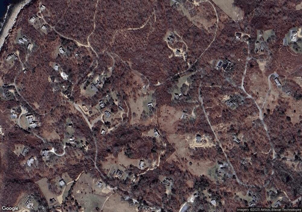
Map
Nearby Homes
- 34 Edys Island Way
- 18 Homeward Way
- 49 Gosnold's Way
- 100 Gosnolds Way
- 1 Crowberry Ln Unit 19
- 46 Tercel Ln
- 46 Tiercel Ln
- 300 North Rd
- 44 Cencelle St
- 7 Clay Pit Ln
- 4 Cedar Ln Unit 2.2
- 25 Fulling Mill Rd
- 14 Ridge Rd Unit 94
- 6 Tabor Hills
- 654 Lighthouse Rd
- 6 Trails End
- 12 Lobsterville Rd
- 20 Eliot Ave
- 34 Ebens Ln Unit 20 and 22
- 34 Ebens Ln
- 15 Loon Ln
- 15 Loon Lane Ch203
- 0 Menemsha Inn Rd
- 26 Pinkletink Rd
- 30 Pinkletink Rd
- 12 Salt Meadows
- 35 Menemsha Inn Rd
- 37 Menemsha Inn Rd
- 20 Pinkletink Rd
- 2 Salt Meadows
- 2 Salt Meadows Unit CH233
- 8 Salt Meadows
- 43 Menemsha Inn Rd
- 22 Loon Ln
- 53 Menemsha Inn Rd
- 19 Menemsha Inn Rd
- 24 Cranberry Hill Rd
- 15 Menemsha Inn Rd
- 30 Cranberry Hill Rd
- 3 Nickerson Farm Ln