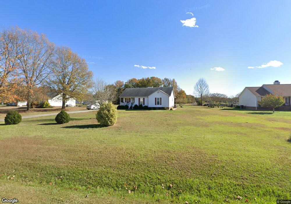
15 Loop Rd Clayton, NC 27527
Estimated Value: $290,000 - $336,000
3
Beds
3
Baths
1,908
Sq Ft
$161/Sq Ft
Est. Value
About This Home
This home is located at 15 Loop Rd, Clayton, NC 27527 and is currently estimated at $306,510, approximately $160 per square foot. 15 Loop Rd is a home located in Johnston County with nearby schools including Riverwood Elementary School, Riverwood Middle School, and Corinth Holders High School.
Ownership History
Date
Name
Owned For
Owner Type
Purchase Details
Closed on
Mar 15, 2013
Sold by
Wilkus Benjamin A and Wilkus Barbara J
Bought by
Lanning Neil O and Lanning Karen D
Current Estimated Value
Home Financials for this Owner
Home Financials are based on the most recent Mortgage that was taken out on this home.
Original Mortgage
$62,635
Outstanding Balance
$12,895
Interest Rate
3.57%
Mortgage Type
New Conventional
Estimated Equity
$293,615
Purchase Details
Closed on
Feb 28, 2007
Sold by
Klaus Michael J and Bennett Jacklin
Bought by
Wilkus Benjamin A and Wilkus Barbara J
Home Financials for this Owner
Home Financials are based on the most recent Mortgage that was taken out on this home.
Original Mortgage
$90,000
Interest Rate
6.22%
Mortgage Type
Purchase Money Mortgage
Create a Home Valuation Report for This Property
The Home Valuation Report is an in-depth analysis detailing your home's value as well as a comparison with similar homes in the area
Home Values in the Area
Average Home Value in this Area
Purchase History
| Date | Buyer | Sale Price | Title Company |
|---|---|---|---|
| Lanning Neil O | $113,000 | None Available | |
| Wilkus Benjamin A | $122,500 | None Available |
Source: Public Records
Mortgage History
| Date | Status | Borrower | Loan Amount |
|---|---|---|---|
| Open | Lanning Neil O | $62,635 | |
| Previous Owner | Wilkus Benjamin A | $90,000 |
Source: Public Records
Tax History
| Year | Tax Paid | Tax Assessment Tax Assessment Total Assessment is a certain percentage of the fair market value that is determined by local assessors to be the total taxable value of land and additions on the property. | Land | Improvement |
|---|---|---|---|---|
| 2025 | $2,095 | $255,530 | $55,130 | $200,400 |
| 2024 | $1,548 | $156,320 | $46,000 | $110,320 |
| 2023 | $1,548 | $156,320 | $46,000 | $110,320 |
| 2022 | $1,563 | $156,320 | $46,000 | $110,320 |
| 2021 | $1,485 | $156,320 | $46,000 | $110,320 |
| 2020 | $1,532 | $156,320 | $46,000 | $110,320 |
| 2019 | $1,532 | $156,320 | $46,000 | $110,320 |
| 2018 | $1,211 | $121,070 | $31,500 | $89,570 |
| 2017 | $1,186 | $121,070 | $31,500 | $89,570 |
| 2016 | $1,186 | $121,070 | $31,500 | $89,570 |
| 2015 | $1,126 | $121,070 | $31,500 | $89,570 |
| 2014 | $1,126 | $121,070 | $31,500 | $89,570 |
Source: Public Records
Map
Nearby Homes
- 1998 Woodstone Dr
- 131 Nashville Dr
- 2276 Castleberry Rd
- 150 Summerlin Dr
- 160 Summerlin Dr
- 174 Summerlin Dr
- 112 Radcliffe Ct
- 211 Wheeler Ct
- 207 Wendell Rd
- 153 Sanidine Ln
- 68 Radcliffe Ct
- 128 Wembley Dr
- 54 Denby Cir
- 93 Denby Cir
- 115 Denby Cir
- 155 Millwood Dr
- 32 Bridgeport Cir
- 365 N Farm Dr
- 69 Cedar Grove Ct
- 39 Anderby Dr
- 5870 Covered Bridge Rd
- 41 Loop Rd
- 100 S Woodstone Dr
- 63 Loop Rd
- 101 S Woodstone Dr
- 104 S Woodstone Dr
- 1999 Woodstone Dr
- 5845 Covered Bridge Rd
- 105 S Woodstone Dr
- 5803 Covered Bridge Rd
- 2001 Woodstone Dr
- 108 S Woodstone Dr
- 1998 Woodstone Dr Unit 1700
- 109 S Woodstone Dr
- 72 Loop Rd
- 5960 Covered Bridge Rd
- 5789 Covered Bridge Rd
- 105 Callie Ct
- 2000 Woodstone Dr
- 5733 Covered Bridge Rd
Your Personal Tour Guide
Ask me questions while you tour the home.