15 Loretta Way Westport, MA 02790
Westport Point NeighborhoodEstimated Value: $1,098,000 - $1,271,153
4
Beds
--
Bath
2,537
Sq Ft
$470/Sq Ft
Est. Value
About This Home
This home is located at 15 Loretta Way, Westport, MA 02790 and is currently estimated at $1,191,538, approximately $469 per square foot. 15 Loretta Way is a home with nearby schools including Alice A. Macomber Primary School, Westport Elementary School, and Westport Middle-High School.
Ownership History
Date
Name
Owned For
Owner Type
Purchase Details
Closed on
Jan 4, 2019
Sold by
Howland Borden E
Bought by
Morin Ernestine H
Current Estimated Value
Home Financials for this Owner
Home Financials are based on the most recent Mortgage that was taken out on this home.
Original Mortgage
$188,000
Outstanding Balance
$156,351
Interest Rate
4.5%
Mortgage Type
New Conventional
Estimated Equity
$1,035,187
Purchase Details
Closed on
Mar 23, 2006
Sold by
Morin Ernestine H
Bought by
Duarte Catherine A and Duarte Joshua
Create a Home Valuation Report for This Property
The Home Valuation Report is an in-depth analysis detailing your home's value as well as a comparison with similar homes in the area
Home Values in the Area
Average Home Value in this Area
Purchase History
| Date | Buyer | Sale Price | Title Company |
|---|---|---|---|
| Morin Ernestine H | -- | -- | |
| Duarte Catherine A | -- | -- |
Source: Public Records
Mortgage History
| Date | Status | Borrower | Loan Amount |
|---|---|---|---|
| Open | Morin Ernestine H | $188,000 |
Source: Public Records
Tax History Compared to Growth
Tax History
| Year | Tax Paid | Tax Assessment Tax Assessment Total Assessment is a certain percentage of the fair market value that is determined by local assessors to be the total taxable value of land and additions on the property. | Land | Improvement |
|---|---|---|---|---|
| 2025 | $6,137 | $823,700 | $426,200 | $397,500 |
| 2024 | $5,139 | $664,800 | $276,300 | $388,500 |
| 2023 | $5,137 | $629,500 | $263,600 | $365,900 |
| 2022 | $5,023 | $592,300 | $263,600 | $328,700 |
| 2021 | $4,428 | $513,700 | $201,500 | $312,200 |
| 2020 | $4,159 | $493,400 | $181,200 | $312,200 |
| 2019 | $4,048 | $489,500 | $181,200 | $308,300 |
| 2018 | $3,871 | $473,800 | $170,100 | $303,700 |
| 2017 | $3,802 | $477,000 | $170,100 | $306,900 |
| 2016 | $3,515 | $444,400 | $170,100 | $274,300 |
| 2015 | $3,494 | $440,600 | $173,900 | $266,700 |
Source: Public Records
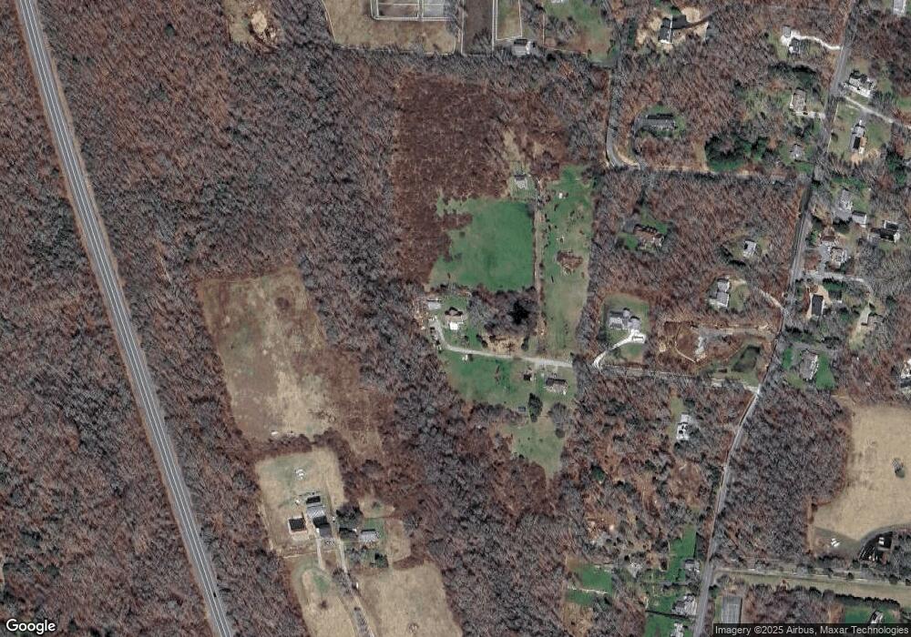
Map
Nearby Homes
- 1702J Drift Rd
- 1702 Drift Rd
- 1749 Main Rd
- 1881 Main Rd
- 1580 Main Rd
- 99 Sylvia Ln
- 1346 Main Rd Unit B
- 19 Seabury Ln
- 225 Hixbridge Rd
- 920 Drift Rd
- Lot 2 Horseneck Rd
- 238-242 E Beach Rd
- 101 Adamsville Rd
- 17 Quail Trail
- 189 Brayton Point Rd
- 255 John Dyer Rd
- 837 Main Rd
- 245 John Dyer Rd
- 304 Brayton Point Rd
- 2 Slades Farm Ln
- 1757 Drift Rd
- 1753 Drift Rd
- 5 Loretta Way
- 2 Olin Howland Way
- 1775 Drift Rd
- 1747 Drift Rd
- 1741 Drift Rd
- 1 Olin Howland Way
- 1735 Drift Rd
- 0 Loretta Way L:2 Unit 70965263
- 2 Sams Way
- 1750 Drift Rd
- 7 Olin Howland Way
- 1748 Drift Rd
- 1789 Drift Rd
- 1721 Drift Rd
- 1795 Drift Rd
- 1705 Drift Rd
- 1724 Drift Rd
- 1746F Drift Rd